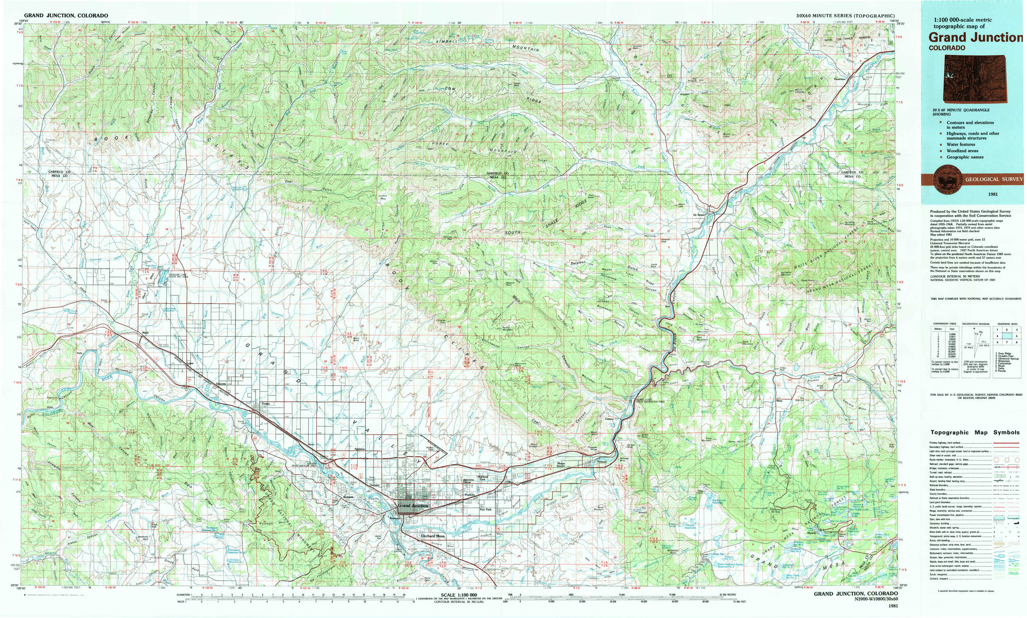
Grand Junction Topo Map Colorado
To zoom in, hover over the map of Grand Junction
USGS Topo Map 39108a1 - 1:100,000 scale
| Topo Map Name: | Grand Junction |
| USGS Topo Quad ID: | 39108a1 |
| Print Size: | ca. 39" wide x 24" high |
| Southeast Coordinates: | 39° N latitude / 108° W longitude |
| Map Center Coordinates: | 39.25° N latitude / 108.5° W longitude |
| U.S. State: | CO |
| Filename: | 39108a1.jpg |
| Download Map JPG Image: | Grand Junction topo map 1:100,000 scale |
| Map Type: | Topographic |
| Topo Series: | 30´x60´ |
| Map Scale: | 1:100,000 |
| Source of Map Images: | United States Geological Survey (USGS) |
| Alternate Map Versions: |
Grand Junction CO 1981, updated 1981 Download PDF Buy paper map |
1:100,000 Topos surrounding Grand Junction
Seep Ridge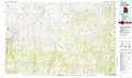 |
Douglas Pass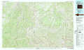 |
Glenwood Springs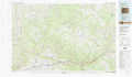 |
Westwater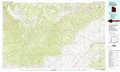 |
Grand Junction |
Carbondale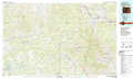 |
Moab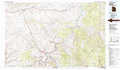 |
Delta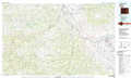 |
Paonia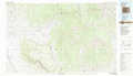 |
> Back to 39108a1 at 1:250,000 scale
> Back to U.S. Topo Maps home
1:24,000 Topo Quads covered by the spatial extent of this 100k map (Grand Junction)
|
Carbonera 
|
Howard Canyon 
|
Garvey Canyon 
|
Middle Dry Fork 
|
The Saddle 
|
Long Point 
|
Red Pinnacle 
|
Parachute 
|
|
Badger Wash 
|
Highline Lake 
|
Ruby Lee Reservoir 
|
Corcoran Peak 
|
Winter Flats 
|
Wagon Track Ridge 
|
De Beque 
|
Housetop Mountain 
|
|
Ruby Canyon 
|
Mack 
|
Fruita 
|
Corcoran Point 
|
Round Mountain 
|
Cameo 
|
Mesa 
|
Molina 
|
|
Sieber Canyon 
|
Battleship Rock 
|
Colorado National Monument 
|
Grand Junction 
|
Clifton 
|
Palisade 
|
Lands End 
|
Mesa Lakes 
|