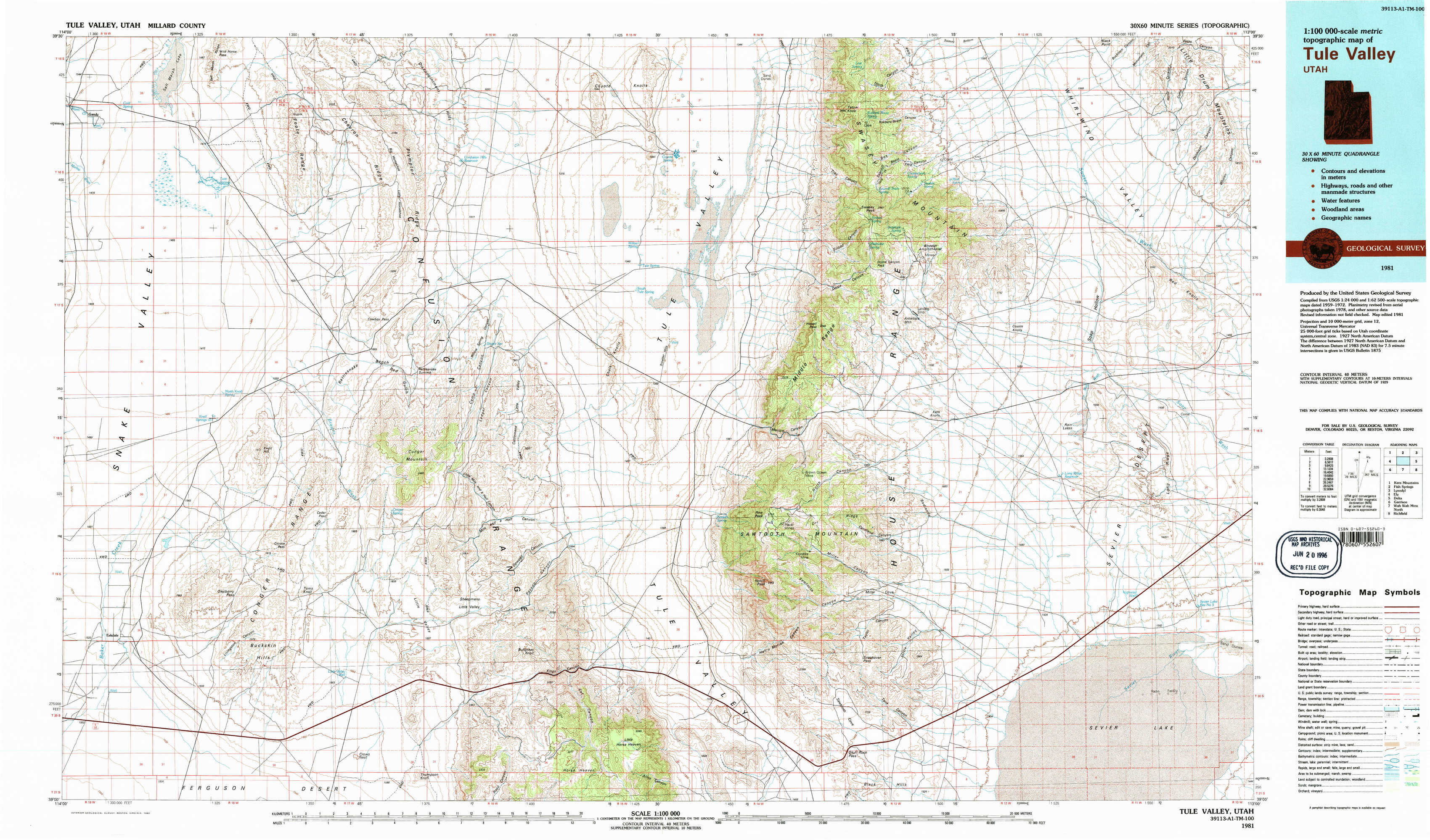
Tule Valley Topo Map Utah
To zoom in, hover over the map of Tule Valley
USGS Topo Map 39113a1 - 1:100,000 scale
| Topo Map Name: | Tule Valley |
| USGS Topo Quad ID: | 39113a1 |
| Print Size: | ca. 39" wide x 24" high |
| Southeast Coordinates: | 39° N latitude / 113° W longitude |
| Map Center Coordinates: | 39.25° N latitude / 113.5° W longitude |
| U.S. State: | UT |
| Filename: | 39113a1.jpg |
| Download Map JPG Image: | Tule Valley topo map 1:100,000 scale |
| Map Type: | Topographic |
| Topo Series: | 30´x60´ |
| Map Scale: | 1:100,000 |
| Source of Map Images: | United States Geological Survey (USGS) |
| Alternate Map Versions: |
Tule Valley UT 1981, updated 1981 Download PDF Buy paper map Tule Valley UT 1981, updated 1992 Download PDF Buy paper map Tule Valley UT 1981, updated 1992 Download PDF Buy paper map |
1:100,000 Topos surrounding Tule Valley
Kern Mountains |
Fish Springs |
Lynndyl |
Ely |
Tule Valley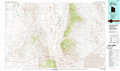 |
Delta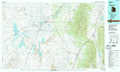 |
Garrison |
Wah Wah Mountains North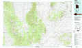 |
Richfield |
> Back to 39112a1 at 1:250,000 scale
> Back to U.S. Topo Maps home
1:24,000 Topo Quads covered by the spatial extent of this 100k map (Tule Valley)
|
Gandy 
|
Foote Range 
|
Big Horseshoe 
|
Coyote Knolls 
|
Swasey Peak Nw 
|
Swasey Peak 
|
Whirlwind Valley Nw 
|
Little Drum Pass 
|
|
Gandy Sw 
|
North Knoll Spring 
|
Cowboy Pass 
|
Chalk Knolls 
|
Swasey Peak Sw 
|
Marjum Pass 
|
Whirlwind Valley Sw 
|
Red Knolls 
|
|
Hole In The Ground 
|
Knoll Hill 
|
Conger Mountain 
|
Dowdell Canyon 
|
Notch Peak 
|
Miller Cove 
|
Long Ridge Reservoir 
|
Long Ridge 
|
|
Eskdale 
|
Buckskin Hills 
|
Thompson Knoll 
|
Bullgrass Knoll 
|
Hell'N Maria Canyon 
|
Skull Rock Pass 
|
Long Ridge Sw 
|
Long Ridge Se 
|