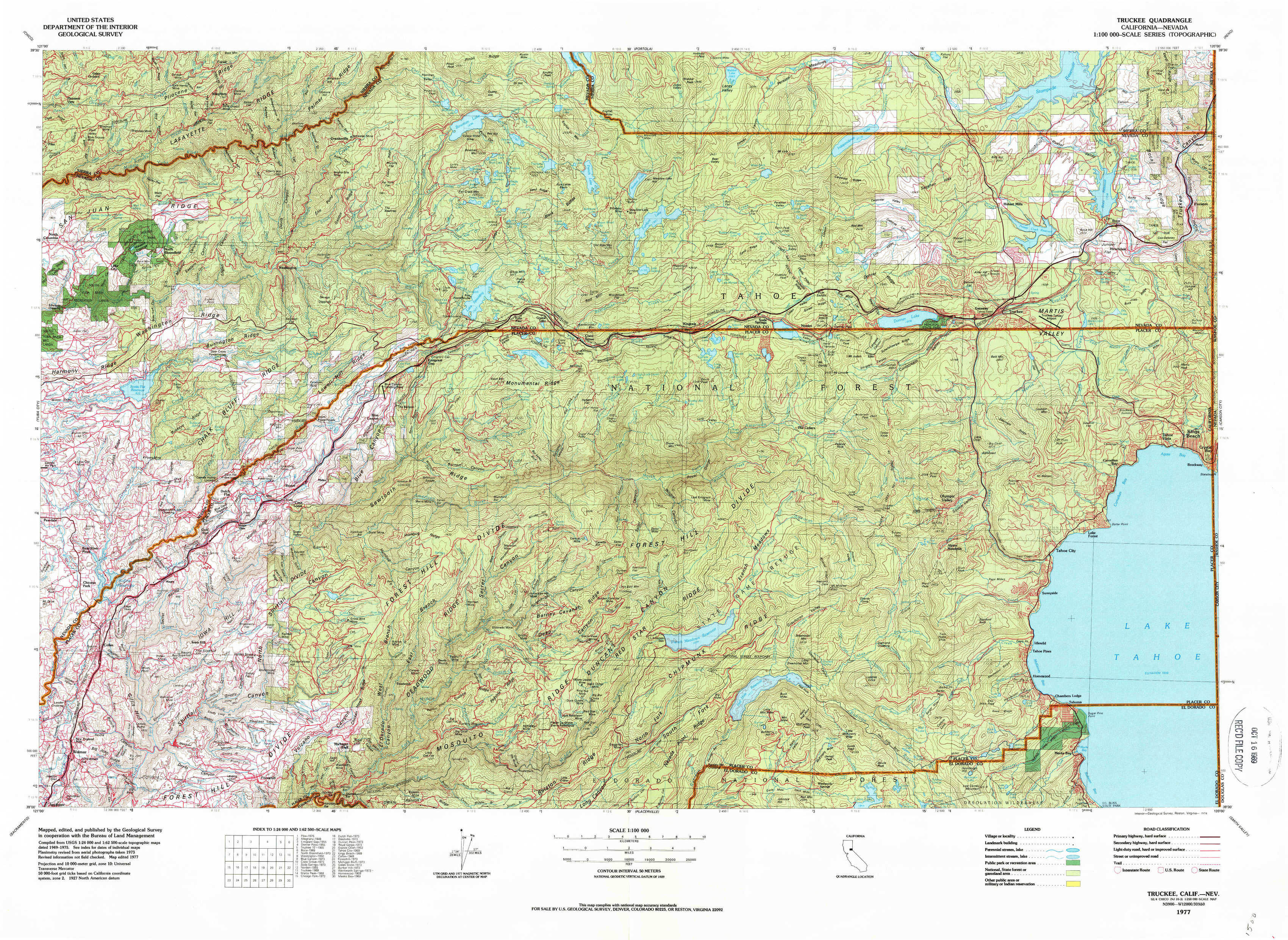
Truckee Topo Map California
To zoom in, hover over the map of Truckee
USGS Topo Map 39120a1 - 1:100,000 scale
| Topo Map Name: | Truckee |
| USGS Topo Quad ID: | 39120a1 |
| Print Size: | ca. 39" wide x 24" high |
| Southeast Coordinates: | 39° N latitude / 120° W longitude |
| Map Center Coordinates: | 39.25° N latitude / 120.5° W longitude |
| U.S. States: | CA, NV |
| Filename: | 39120a1.jpg |
| Download Map JPG Image: | Truckee topo map 1:100,000 scale |
| Map Type: | Topographic |
| Topo Series: | 30´x60´ |
| Map Scale: | 1:100,000 |
| Source of Map Images: | United States Geological Survey (USGS) |
| Alternate Map Versions: |
Truckee CA 1977, updated 1978 Download PDF Buy paper map Truckee CA 1977, updated 1978 Download PDF Buy paper map |
1:100,000 Topos surrounding Truckee
Chico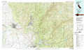 |
Portola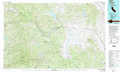 |
Reno |
Yuba City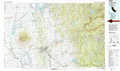 |
Truckee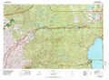 |
Carson City |
Sacramento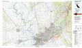 |
Placerville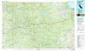 |
Smith Valley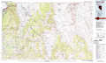 |
> Back to 39120a1 at 1:250,000 scale
> Back to U.S. Topo Maps home
1:24,000 Topo Quads covered by the spatial extent of this 100k map (Truckee)
|
Pike 
|
Alleghany 
|
Graniteville 
|
English Mountain 
|
Webber Peak 
|
Independence Lake 
|
Hobart Mills 
|
Boca 
|
|
North Bloomfield 
|
Washington 
|
Blue Canyon 
|
Cisco Grove 
|
Soda Springs 
|
Norden 
|
Truckee 
|
Martis Peak 
|
|
Chicago Park 
|
Dutch Flat 
|
Westville 
|
Duncan Peak 
|
Royal Gorge 
|
Granite Chief 
|
Tahoe City 
|
Kings Beach 
|
|
Colfax 
|
Foresthill 
|
Michigan Bluff 
|
Greek Store 
|
Bunker Hill 
|
Wentworth Springs 
|
Homewood 
|
Meeks Bay 
|