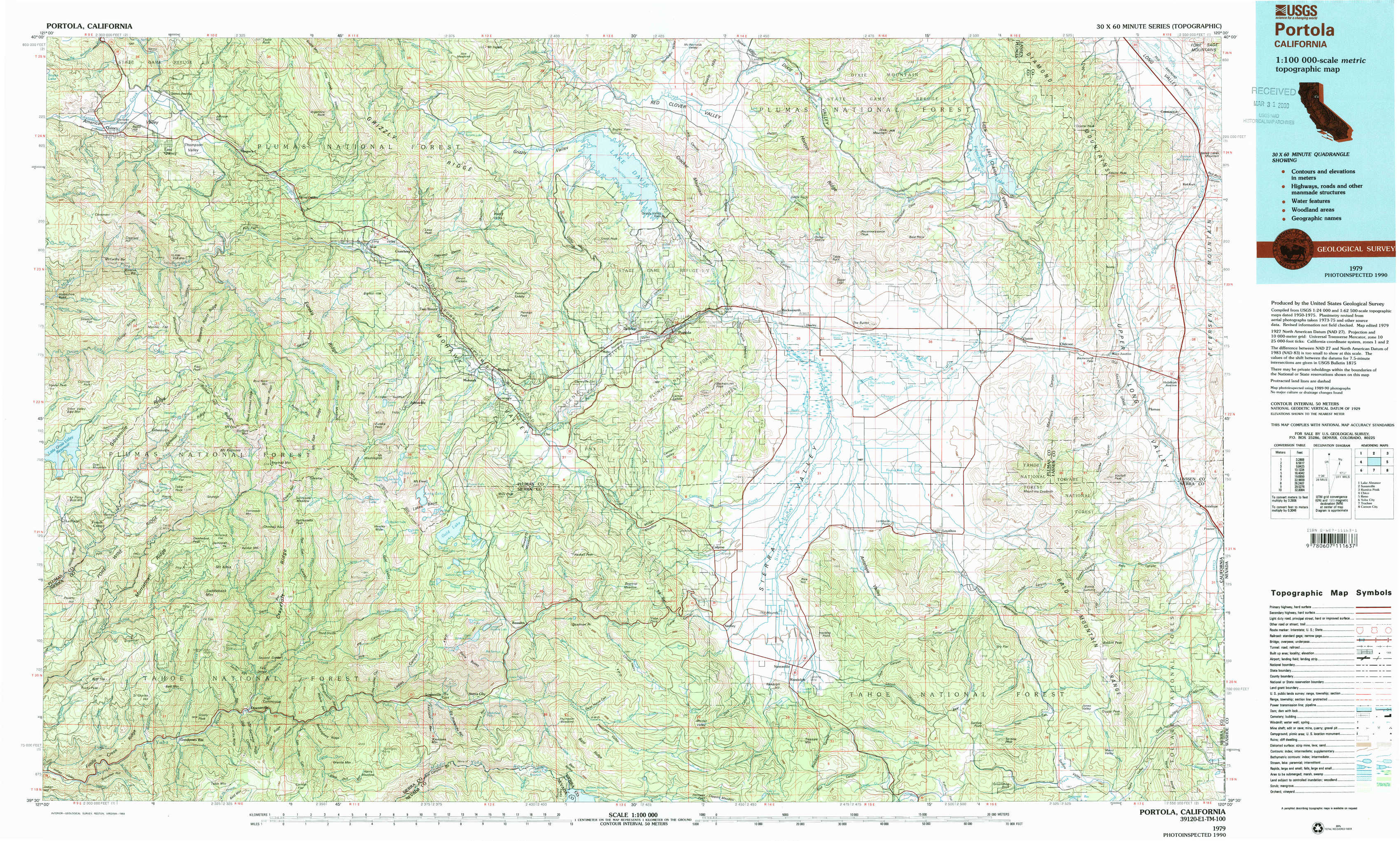
Portola Topo Map California
To zoom in, hover over the map of Portola
USGS Topo Map 39120e1 - 1:100,000 scale
| Topo Map Name: | Portola |
| USGS Topo Quad ID: | 39120e1 |
| Print Size: | ca. 39" wide x 24" high |
| Southeast Coordinates: | 39.5° N latitude / 120° W longitude |
| Map Center Coordinates: | 39.75° N latitude / 120.5° W longitude |
| U.S. States: | CA, NV |
| Filename: | 39120e1.jpg |
| Download Map JPG Image: | Portola topo map 1:100,000 scale |
| Map Type: | Topographic |
| Topo Series: | 30´x60´ |
| Map Scale: | 1:100,000 |
| Source of Map Images: | United States Geological Survey (USGS) |
| Alternate Map Versions: |
Portola CA 1979, updated 1993 Download PDF Buy paper map Portola CA 1979, updated 1993 Download PDF Buy paper map |
1:100,000 Topos surrounding Portola
Lake Almanor |
Susanville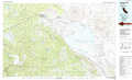 |
Kumiva Peak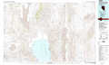 |
Chico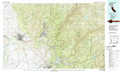 |
Portola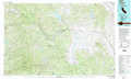 |
Reno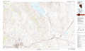 |
Yuba City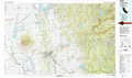 |
Truckee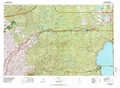 |
Carson City |
> Back to 39120a1 at 1:250,000 scale
> Back to U.S. Topo Maps home
1:24,000 Topo Quads covered by the spatial extent of this 100k map (Portola)
|
Quincy 
|
Spring Garden 
|
Mount Ingalls 
|
Grizzly Valley 
|
Crocker Mountain 
|
Dixie Mountain 
|
Frenchman Lake 
|
Constantia 
|
|
Onion Valley 
|
Blue Nose Mountain 
|
Johnsville 
|
Blairsden 
|
Portola 
|
Reconnaissance Peak 
|
Chilcoot 
|
Beckwourth Pass 
|
|
La Porte 
|
Mount Fillmore 
|
Gold Lake 
|
Clio 
|
Calpine 
|
Antelope Valley 
|
Loyalton 
|
Evans Canyon 
|
|
Goodyears Bar 
|
Downieville 
|
Sierra City 
|
Haypress Valley 
|
Sattley 
|
Sierraville 
|
Sardine Peak 
|
Dog Valley 
|