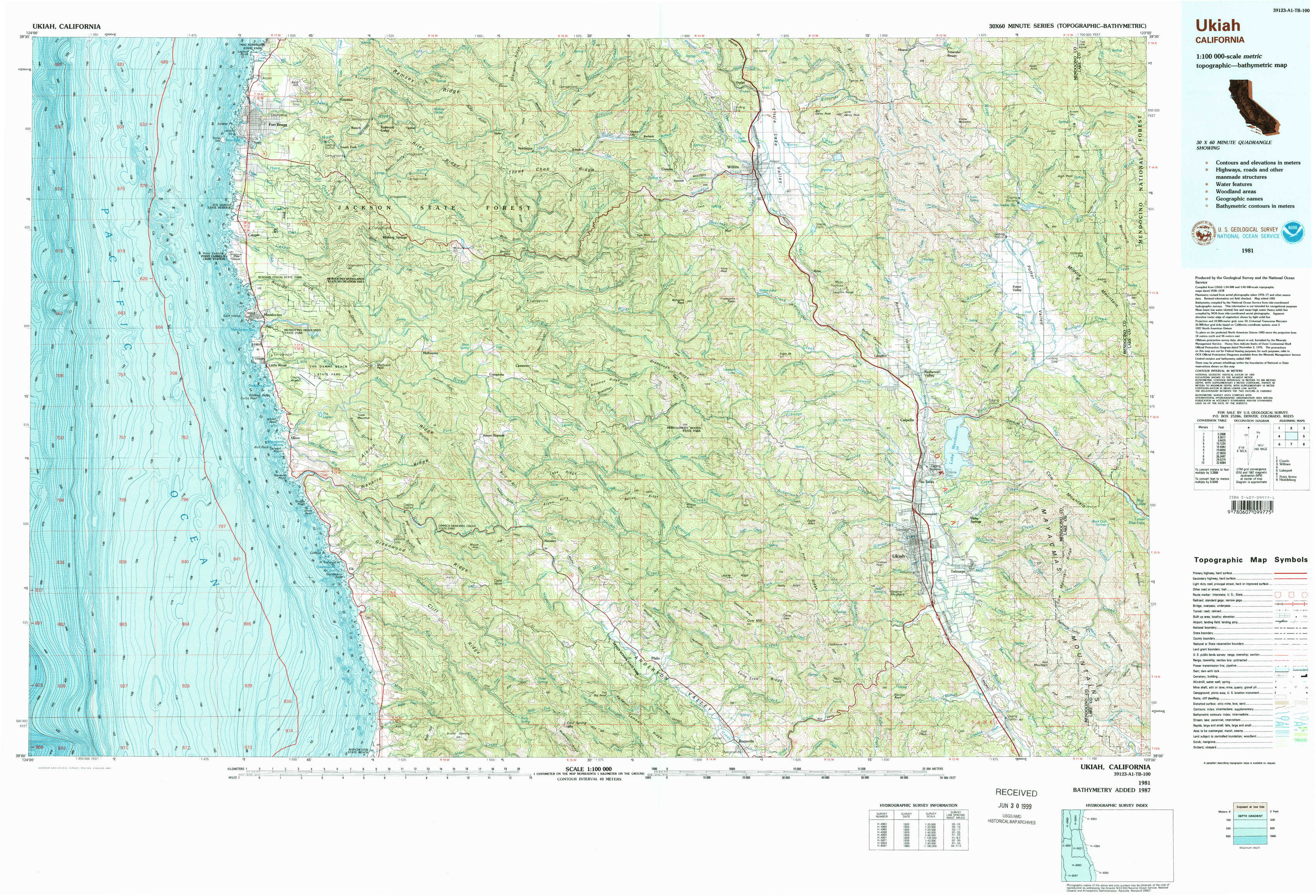
Ukiah Topo Map California
To zoom in, hover over the map of Ukiah
USGS Topo Map 39123a1 - 1:100,000 scale
| Topo Map Name: | Ukiah |
| USGS Topo Quad ID: | 39123a1 |
| Print Size: | ca. 39" wide x 24" high |
| Southeast Coordinates: | 39° N latitude / 123° W longitude |
| Map Center Coordinates: | 39.25° N latitude / 123.5° W longitude |
| U.S. State: | CA |
| Filename: | 39123a1.jpg |
| Download Map JPG Image: | Ukiah topo map 1:100,000 scale |
| Map Type: | Topographic |
| Topo Series: | 30´x60´ |
| Map Scale: | 1:100,000 |
| Source of Map Images: | United States Geological Survey (USGS) |
| Alternate Map Versions: |
Ukiah CA 1981, updated 1987 Download PDF Buy paper map Ukiah CA 1981, updated 1987 Download PDF Buy paper map |
1:100,000 Topos surrounding Ukiah
West Of Covelo |
Covelo |
Willows |
Ukiah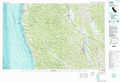 |
Lakeport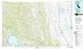 |
|
Point Arena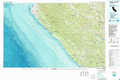 |
Healdsburg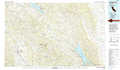 |
> Back to 39122a1 at 1:250,000 scale
> Back to U.S. Topo Maps home
1:24,000 Topo Quads covered by the spatial extent of this 100k map (Ukiah)
|
Fort Bragg 
|
Noyo Hill 
|
Northspur 
|
Burbeck 
|
Willits 
|
Foster Mountain 
|
Van Arsdale Reservoir 
|
|
|
Mendocino 
|
Mathison Peak 
|
Comptche 
|
Greenough Ridge 
|
Laughlin Range 
|
Redwood Valley 
|
Potter Valley 
|
|
|
Albion 
|
Elk 
|
Navarro 
|
Bailey Ridge 
|
Orrs Springs 
|
Ukiah 
|
Cow Mountain 
|
|
|
Mallo Pass Creek 
|
Cold Spring 
|
Philo 
|
Boonville 
|
Elledge Peak 
|
Purdys Gardens 
|