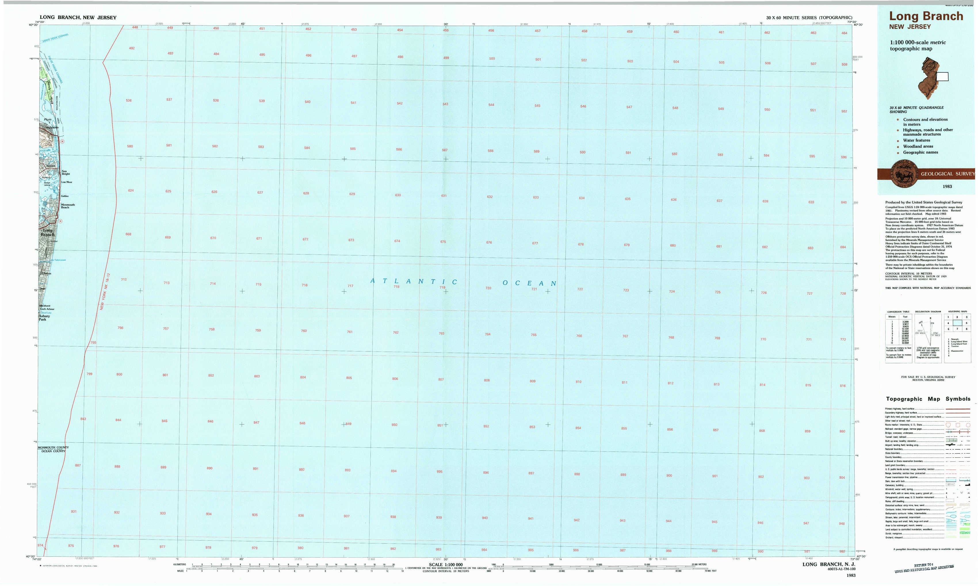
Long Branch Topo Map New Jersey
To zoom in, hover over the map of Long Branch
USGS Topo Map 40073a1 - 1:100,000 scale
| Topo Map Name: | Long Branch |
| USGS Topo Quad ID: | 40073a1 |
| Print Size: | ca. 39" wide x 24" high |
| Southeast Coordinates: | 40° N latitude / 73° W longitude |
| Map Center Coordinates: | 40.25° N latitude / 73.5° W longitude |
| U.S. State: | NJ |
| Filename: | 40073a1.jpg |
| Download Map JPG Image: | Long Branch topo map 1:100,000 scale |
| Map Type: | Topographic |
| Topo Series: | 30´x60´ |
| Map Scale: | 1:100,000 |
| Source of Map Images: | United States Geological Survey (USGS) |
| Alternate Map Versions: |
Long Branch NJ 1983, updated 1984 Download PDF Buy paper map |
1:100,000 Topos surrounding Long Branch
Newark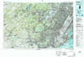 |
Long Island West |
Long Island East |
Trenton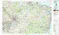 |
Long Branch |
|
Hammonton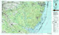 |
> Back to 40072a1 at 1:250,000 scale
> Back to U.S. Topo Maps home