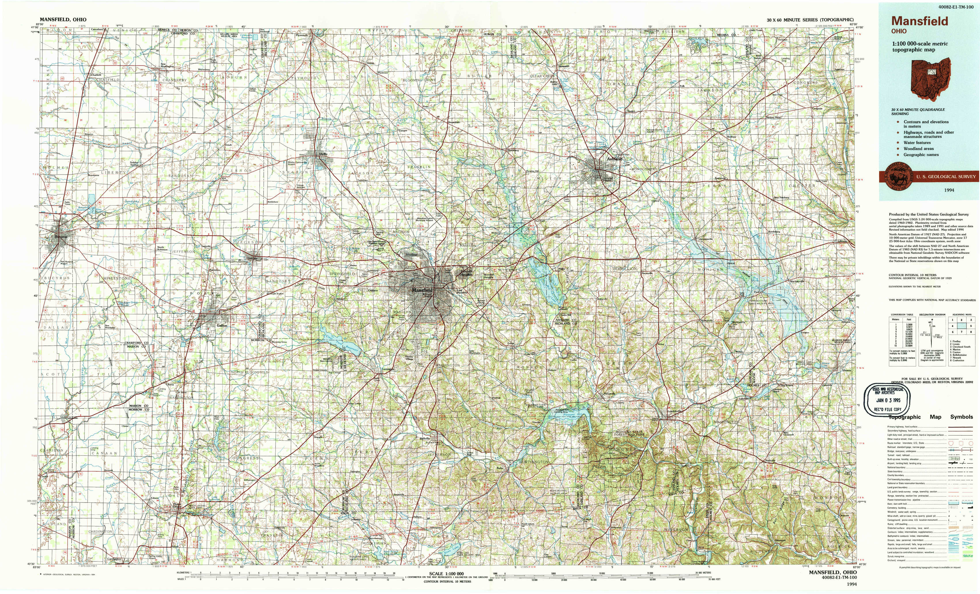
Mansfield Topo Map Ohio
To zoom in, hover over the map of Mansfield
USGS Topo Map 40082e1 - 1:100,000 scale
| Topo Map Name: | Mansfield |
| USGS Topo Quad ID: | 40082e1 |
| Print Size: | ca. 39" wide x 24" high |
| Southeast Coordinates: | 40.5° N latitude / 82° W longitude |
| Map Center Coordinates: | 40.75° N latitude / 82.5° W longitude |
| U.S. State: | OH |
| Filename: | 40082e1.jpg |
| Download Map JPG Image: | Mansfield topo map 1:100,000 scale |
| Map Type: | Topographic |
| Topo Series: | 30´x60´ |
| Map Scale: | 1:100,000 |
| Source of Map Images: | United States Geological Survey (USGS) |
| Alternate Map Versions: |
Mansfield OH 1986, updated 1986 Download PDF Buy paper map Mansfield OH 1994, updated 1994 Download PDF Buy paper map |
1:100,000 Topos surrounding Mansfield
Findlay |
Lorain |
Cleveland South |
Marion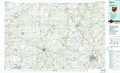 |
Mansfield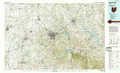 |
Canton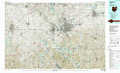 |
Bellefontaine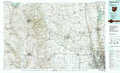 |
Newark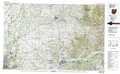 |
Coshocton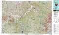 |
> Back to 40082a1 at 1:250,000 scale
> Back to U.S. Topo Maps home
1:24,000 Topo Quads covered by the spatial extent of this 100k map (Mansfield)
|
Chatfield 
|
New Washington 
|
Shelby 
|
Shiloh 
|
Olivesburg 
|
Ashland North 
|
Polk 
|
West Salem 
|
|
Bucyrus 
|
North Robinson 
|
Crestline 
|
Mansfield North 
|
Pavonia 
|
Ashland South 
|
Jeromesville 
|
New Pittsburg 
|
|
Caledonia 
|
Galion 
|
Blooming Grove 
|
Mansfield South 
|
Lucas 
|
Perrysville 
|
Loudonville 
|
Shreve 
|
|
Denmark 
|
Mount Gilead 
|
Shauck 
|
Bellville 
|
Butler 
|
Jelloway 
|
Greer 
|
Glenmont 
|