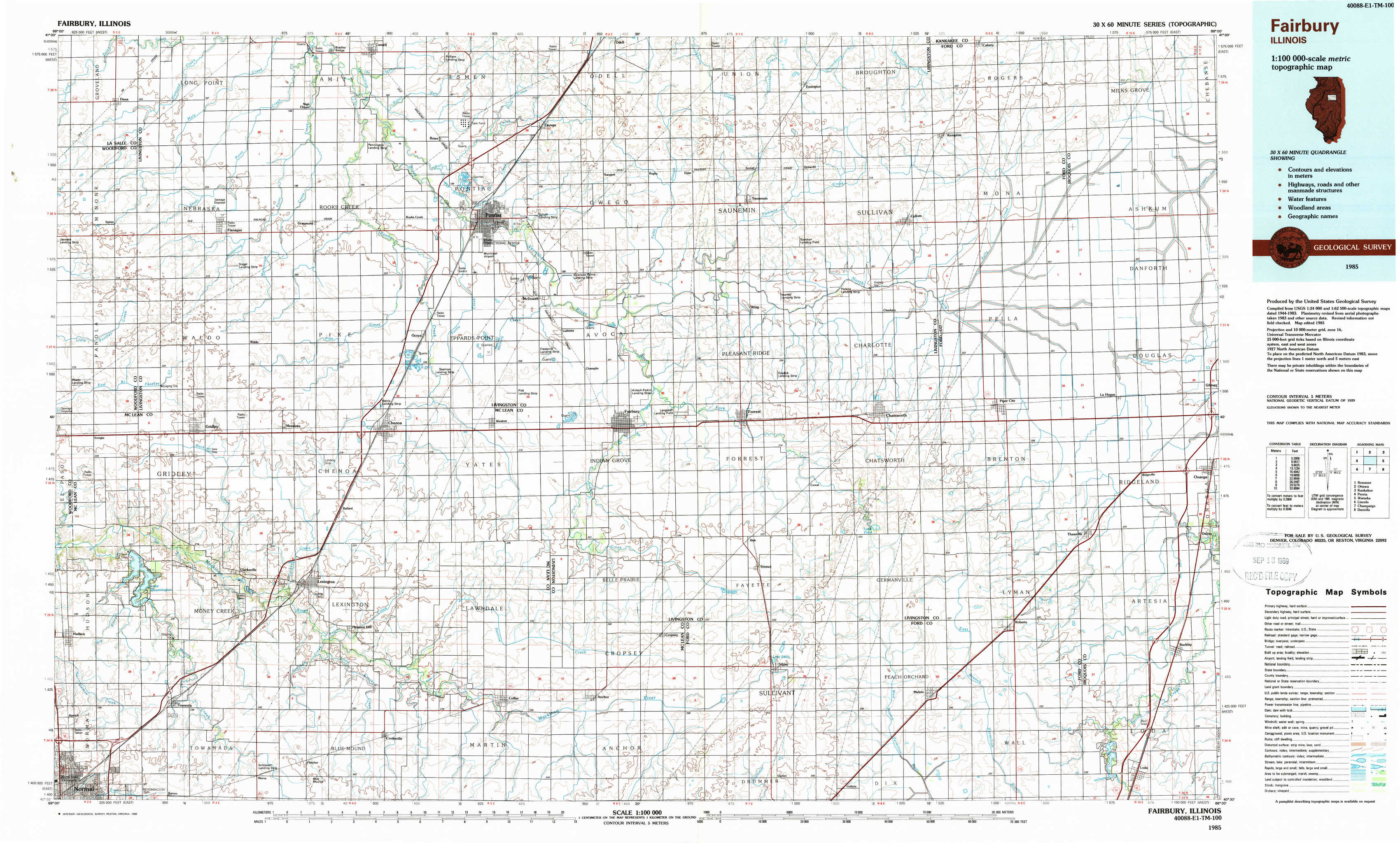
Fairbury Topo Map Illinois
To zoom in, hover over the map of Fairbury
USGS Topo Map 40088e1 - 1:100,000 scale
| Topo Map Name: | Fairbury |
| USGS Topo Quad ID: | 40088e1 |
| Print Size: | ca. 39" wide x 24" high |
| Southeast Coordinates: | 40.5° N latitude / 88° W longitude |
| Map Center Coordinates: | 40.75° N latitude / 88.5° W longitude |
| U.S. State: | IL |
| Filename: | 40088e1.jpg |
| Download Map JPG Image: | Fairbury topo map 1:100,000 scale |
| Map Type: | Topographic |
| Topo Series: | 30´x60´ |
| Map Scale: | 1:100,000 |
| Source of Map Images: | United States Geological Survey (USGS) |
| Alternate Map Versions: |
Fairbury IL 1985, updated 1989 Download PDF Buy paper map |
1:100,000 Topos surrounding Fairbury
Kewanee |
Ottawa |
Kankakee |
Peoria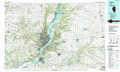 |
Fairbury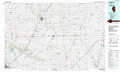 |
Watseka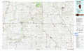 |
Lincoln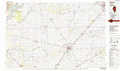 |
Champaign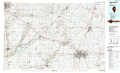 |
Danville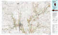 |
> Back to 40088a1 at 1:250,000 scale
> Back to U.S. Topo Maps home
1:24,000 Topo Quads covered by the spatial extent of this 100k map (Fairbury)
|
Dana 
|
Flanagan North 
|
Northwest Pontiac 
|
Northeast Pontiac 
|
Saunemin 
|
Cullom 
|
Cabery 
|
Piper City Ne 
|
|
Flanagan Sw 
|
Flanagan South 
|
Southwest Pontiac 
|
Southeast Pontiac 
|
Forrest North 
|
Chatsworth North 
|
Piper City 
|
La Hogue 
|
|
Gridley 
|
Lexington 
|
Chenoa 
|
Fairbury 
|
Forrest South 
|
Chatsworth South 
|
Buckley Nw 
|
Onarga West 
|
|
Normal East 
|
Merna 
|
Cooksville 
|
Colfax 
|
Sibley 
|
Melvin West 
|
Melvin East 
|
Buckley 
|