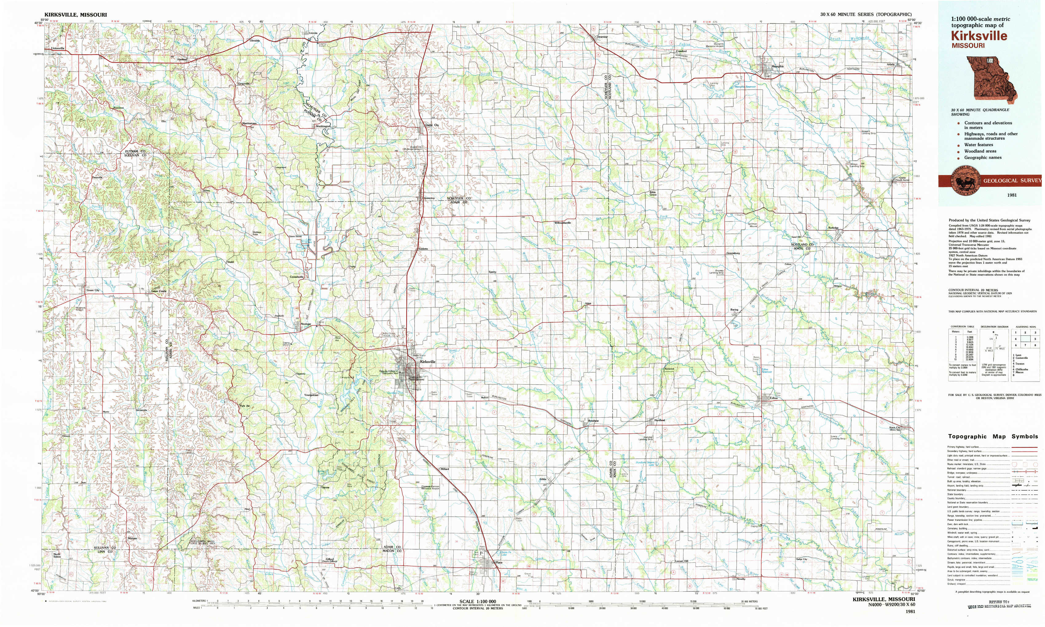
Kirksville Topo Map Missouri
To zoom in, hover over the map of Kirksville
USGS Topo Map 40092a1 - 1:100,000 scale
| Topo Map Name: | Kirksville |
| USGS Topo Quad ID: | 40092a1 |
| Print Size: | ca. 39" wide x 24" high |
| Southeast Coordinates: | 40° N latitude / 92° W longitude |
| Map Center Coordinates: | 40.25° N latitude / 92.5° W longitude |
| U.S. State: | MO |
| Filename: | 40092a1.jpg |
| Download Map JPG Image: | Kirksville topo map 1:100,000 scale |
| Map Type: | Topographic |
| Topo Series: | 30´x60´ |
| Map Scale: | 1:100,000 |
| Source of Map Images: | United States Geological Survey (USGS) |
| Alternate Map Versions: |
Kirksville MO 1981, updated 1982 Download PDF Buy paper map |
1:100,000 Topos surrounding Kirksville
Leon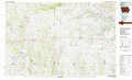 |
Centerville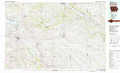 |
Burlington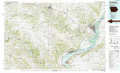 |
Trenton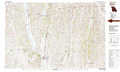 |
Kirksville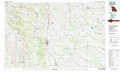 |
Keokuk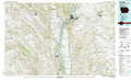 |
Chillicothe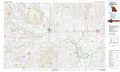 |
Macon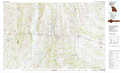 |
Quincy |
> Back to 40092a1 at 1:250,000 scale
> Back to U.S. Topo Maps home
1:24,000 Topo Quads covered by the spatial extent of this 100k map (Kirksville)
|
Unionville East 
|
Graysville 
|
Livonia 
|
Queen City 
|
Downing Nw 
|
Downing 
|
Memphis 
|
Arbela 
|
|
Green City 
|
Stahl 
|
Connelsville 
|
Greentop 
|
Willmathsville 
|
Bible Grove 
|
Greensburg 
|
Rutledge 
|
|
Mystic 
|
Pure Air 
|
Novinger 
|
Kirksville 
|
Brashear 
|
Hurdland 
|
Edina 
|
Knox City 
|
|
Winigan 
|
Nind 
|
Gifford 
|
Millard 
|
La Plata 
|
Locust Hill 
|
Novelty 
|
Edina Se 
|