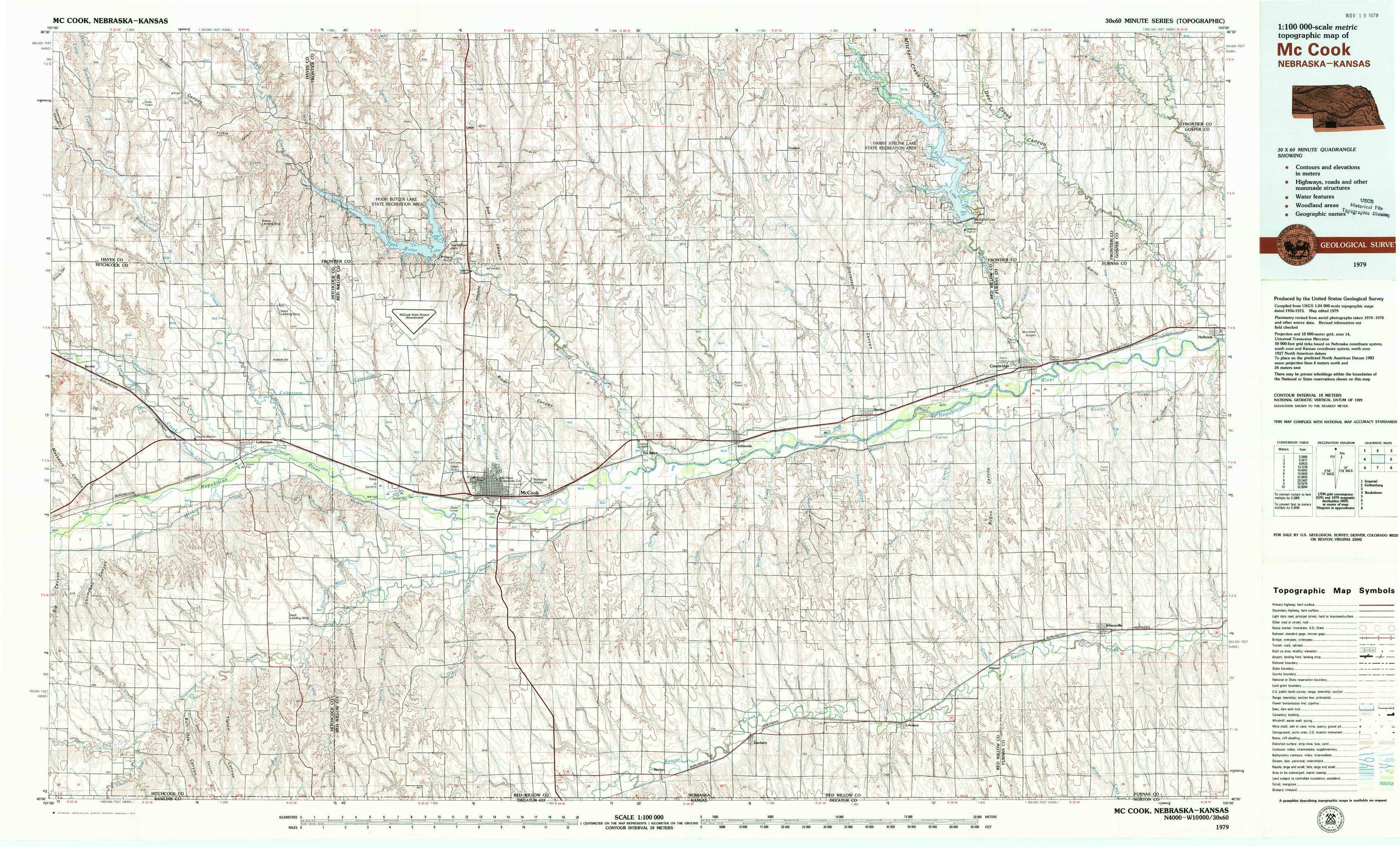
Mc Cook Topo Map Nebraska
To zoom in, hover over the map of Mc Cook
USGS Topo Map 40100a1 - 1:100,000 scale
| Topo Map Name: | Mc Cook |
| USGS Topo Quad ID: | 40100a1 |
| Print Size: | ca. 39" wide x 24" high |
| Southeast Coordinates: | 40° N latitude / 100° W longitude |
| Map Center Coordinates: | 40.25° N latitude / 100.5° W longitude |
| U.S. States: | NE, KS |
| Filename: | 40100a1.jpg |
| Download Map JPG Image: | Mc Cook topo map 1:100,000 scale |
| Map Type: | Topographic |
| Topo Series: | 30´x60´ |
| Map Scale: | 1:100,000 |
| Source of Map Images: | United States Geological Survey (USGS) |
| Alternate Map Versions: |
McCook NE 1979, updated 1979 Download PDF Buy paper map |
1:100,000 Topos surrounding Mc Cook
Imperial |
Gothenburg |
Kearney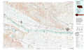 |
Benkelman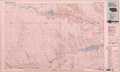 |
Mc Cook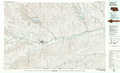 |
Holdrege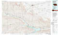 |
Saint Francis |
Oberlin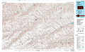 |
Norton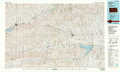 |
> Back to 40100a1 at 1:250,000 scale
> Back to U.S. Topo Maps home
1:24,000 Topo Quads covered by the spatial extent of this 100k map (Mc Cook)
|
Burger Canyon West 
|
Burger Canyon East 
|
Quick 
|
Quick Ne 
|
Bartley Nw 
|
Freedom 
|
Medicine Creek Dam 
|
Cambridge Ne 
|
|
Beverly 
|
Burger Canyon Se 
|
Red Willow Dam 
|
Quick Se 
|
Bartley Sw 
|
Bartley 
|
Cambridge 
|
Holbrook 
|
|
Culbertson Nw 
|
Culbertson 
|
Mccook West 
|
Mccook East 
|
Indianola 
|
Danbury Ne 
|
Wilsonville Nw 
|
Wilsonville Ne 
|
|
Culbertson Sw 
|
Culbertson Se 
|
Mccook Sw 
|
Mccook Se 
|
Danbury 
|
Lebanon 
|
Shippee 
|
Wilsonville 
|