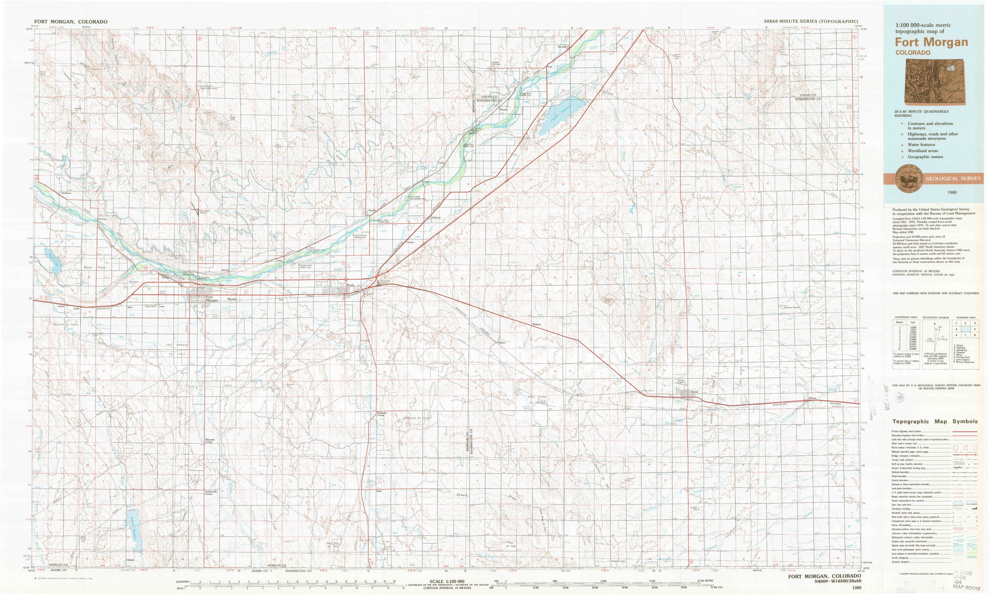
Fort Morgan Topo Map Colorado
To zoom in, hover over the map of Fort Morgan
USGS Topo Map 40103a1 - 1:100,000 scale
| Topo Map Name: | Fort Morgan |
| USGS Topo Quad ID: | 40103a1 |
| Print Size: | ca. 39" wide x 24" high |
| Southeast Coordinates: | 40° N latitude / 103° W longitude |
| Map Center Coordinates: | 40.25° N latitude / 103.5° W longitude |
| U.S. State: | CO |
| Filename: | 40103a1.jpg |
| Download Map JPG Image: | Fort Morgan topo map 1:100,000 scale |
| Map Type: | Topographic |
| Topo Series: | 30´x60´ |
| Map Scale: | 1:100,000 |
| Source of Map Images: | United States Geological Survey (USGS) |
| Alternate Map Versions: |
Fort Morgan CO 1980, updated 1980 Download PDF Buy paper map |
1:100,000 Topos surrounding Fort Morgan
Eaton |
Sterling |
Julesburg |
Greeley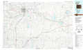 |
Fort Morgan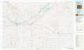 |
Wray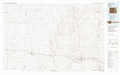 |
Denver East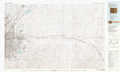 |
Last Chance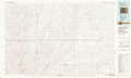 |
Bonny Reservoir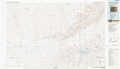 |
> Back to 40102a1 at 1:250,000 scale
> Back to U.S. Topo Maps home
1:24,000 Topo Quads covered by the spatial extent of this 100k map (Fort Morgan)
|
Judson Hills 
|
Peace Valley School 
|
Dead Horse Springs 
|
Antelope Springs 
|
Messex 
|
Merino 
|
Buffalo Springs Ranch Nw 
|
Buffalo Springs Ranch Ne 
|
|
Weldona 
|
Fort Morgan 
|
Brush West 
|
Brush East 
|
Merino Sw 
|
Merino Se 
|
Buffalo Springs Ranch 
|
Buffalo Springs Ranch Se 
|
|
Vallery 
|
Lamb 
|
Round Top 
|
Miller Ranch 
|
Pinneo 
|
Fremont Butte 
|
Akron 
|
Platner 
|
|
Adena 
|
Vallery Se 
|
Huey Ranch 
|
Gary 
|
Rago 
|
Pinneo Se 
|
Akron Sw 
|
Akron Se 
|