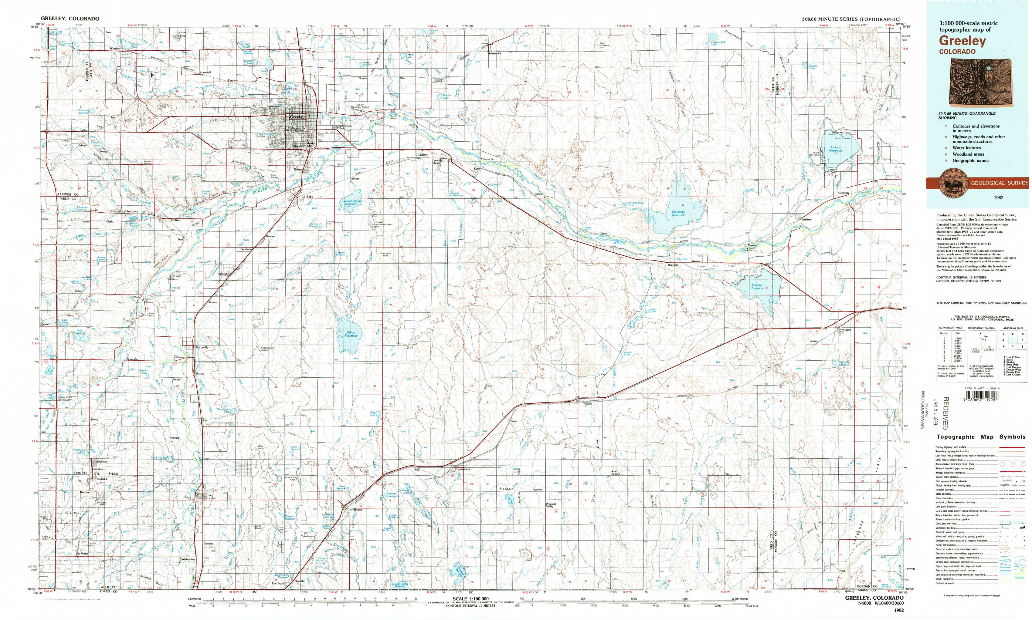
Greeley Topo Map Colorado
To zoom in, hover over the map of Greeley
USGS Topo Map 40104a1 - 1:100,000 scale
| Topo Map Name: | Greeley |
| USGS Topo Quad ID: | 40104a1 |
| Print Size: | ca. 39" wide x 24" high |
| Southeast Coordinates: | 40° N latitude / 104° W longitude |
| Map Center Coordinates: | 40.25° N latitude / 104.5° W longitude |
| U.S. State: | CO |
| Filename: | 40104a1.jpg |
| Download Map JPG Image: | Greeley topo map 1:100,000 scale |
| Map Type: | Topographic |
| Topo Series: | 30´x60´ |
| Map Scale: | 1:100,000 |
| Source of Map Images: | United States Geological Survey (USGS) |
| Alternate Map Versions: |
Greeley CO 1982, updated 1983 Download PDF Buy paper map |
1:100,000 Topos surrounding Greeley
Fort Collins |
Eaton |
Sterling |
Estes Park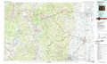 |
Greeley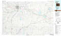 |
Fort Morgan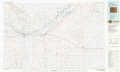 |
Denver West |
Denver East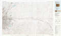 |
Last Chance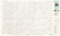 |
> Back to 40104a1 at 1:250,000 scale
> Back to U.S. Topo Maps home
1:24,000 Topo Quads covered by the spatial extent of this 100k map (Greeley)
|
Windsor 
|
Bracewell 
|
Greeley 
|
Kersey 
|
Barnesville 
|
Point Of Rocks 
|
Greasewood Lake 
|
Sunken Lake 
|
|
Johnstown 
|
Milliken 
|
La Salle 
|
Valley View School 
|
Hardin 
|
Dearfield 
|
Masters 
|
Orchard 
|
|
Gowanda 
|
Platteville 
|
Milton Reservoir 
|
Klug Ranch 
|
Tampa 
|
Roggen 
|
Omar 
|
Wiggins 
|
|
Frederick 
|
Fort Lupton 
|
Hudson 
|
Keenesburg 
|
Prospect Valley 
|
South Roggen 
|
Wiggins Sw 
|
Hoyt 
|