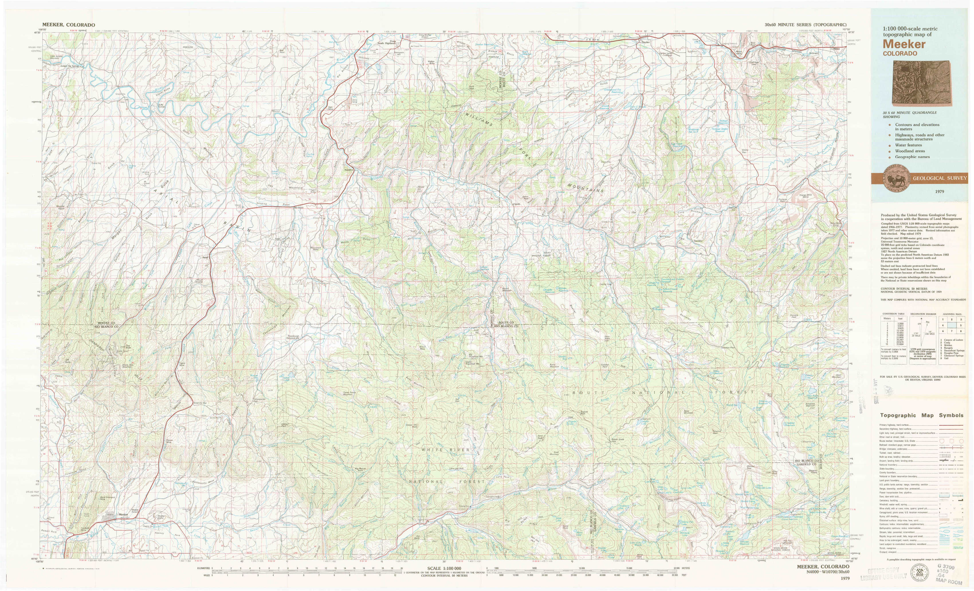
Meeker Topo Map Colorado
To zoom in, hover over the map of Meeker
USGS Topo Map 40107a1 - 1:100,000 scale
| Topo Map Name: | Meeker |
| USGS Topo Quad ID: | 40107a1 |
| Print Size: | ca. 39" wide x 24" high |
| Southeast Coordinates: | 40° N latitude / 107° W longitude |
| Map Center Coordinates: | 40.25° N latitude / 107.5° W longitude |
| U.S. State: | CO |
| Filename: | 40107a1.jpg |
| Download Map JPG Image: | Meeker topo map 1:100,000 scale |
| Map Type: | Topographic |
| Topo Series: | 30´x60´ |
| Map Scale: | 1:100,000 |
| Source of Map Images: | United States Geological Survey (USGS) |
| Alternate Map Versions: |
Meeker CO 1979, updated 1979 Download PDF Buy paper map |
1:100,000 Topos surrounding Meeker
Canyon Of Lodore |
Craig |
Walden |
Rangely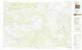 |
Meeker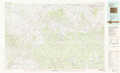 |
Steamboat Springs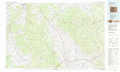 |
Douglas Pass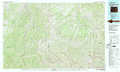 |
Glenwood Springs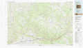 |
Vail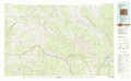 |
> Back to 40106a1 at 1:250,000 scale
> Back to U.S. Topo Maps home
1:24,000 Topo Quads covered by the spatial extent of this 100k map (Meeker)
|
Juniper Hot Springs 
|
Horse Gulch 
|
Round Bottom 
|
Castor Gulch 
|
Breeze Mountain 
|
Hayden 
|
Mount Harris 
|
Milner 
|
|
Easton Gulch 
|
Axial 
|
Monument Butte 
|
Hamilton 
|
Pagoda 
|
Hayden Gulch 
|
Dunckley 
|
Rattlesnake Butte 
|
|
Devils Hole Gulch 
|
Ninemile Gap 
|
Thornburgh 
|
Sleepy Cat Peak 
|
Slide Creek 
|
Pagoda Peak 
|
Dunckley Pass 
|
Sand Point 
|
|
Meeker 
|
Rattlesnake Mesa 
|
Sawmill Mountain 
|
Fawn Creek 
|
Lost Park 
|
Ripple Creek 
|
Devils Causeway 
|
Orno Peak 
|