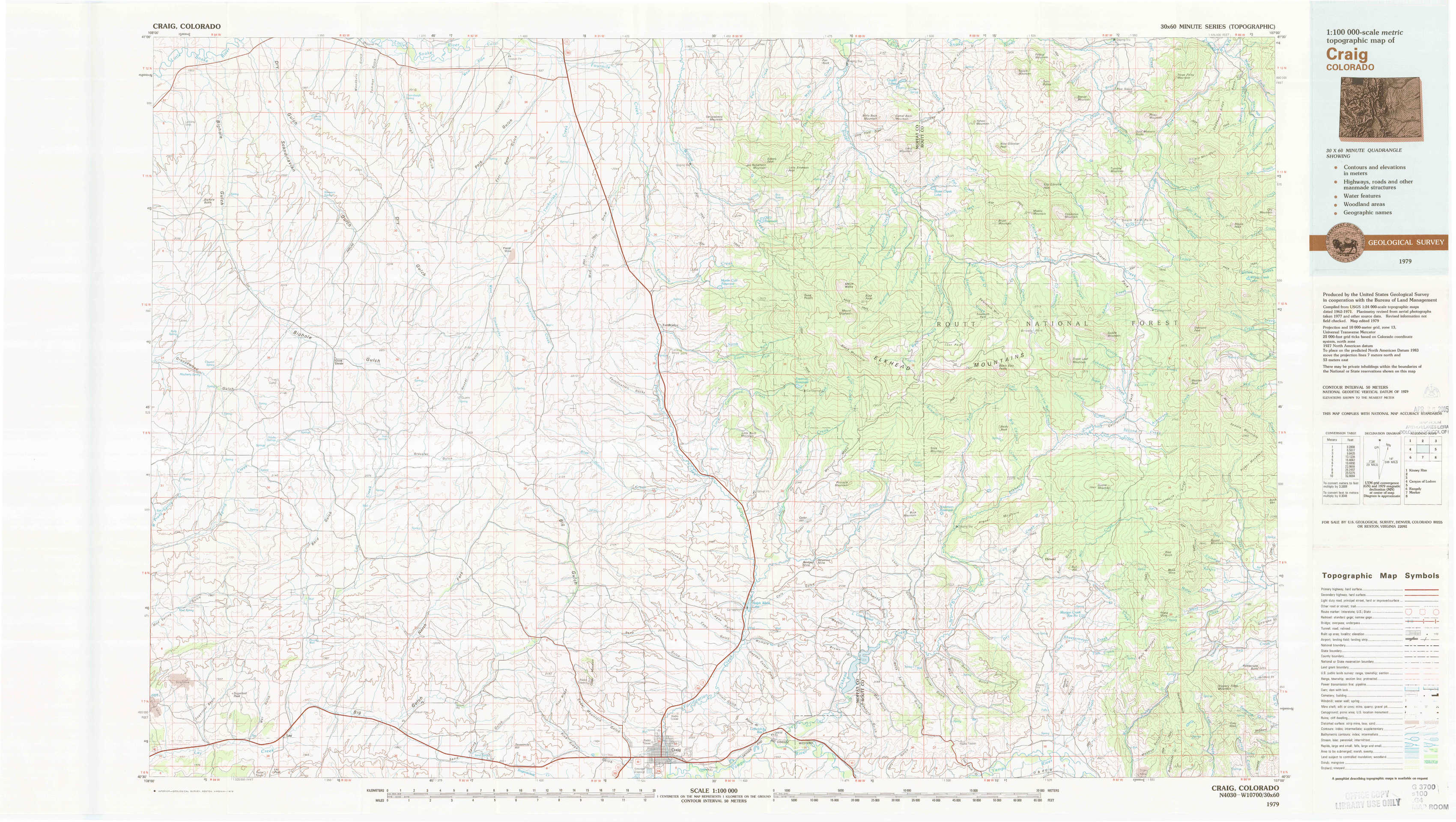
Craig Topo Map Colorado
To zoom in, hover over the map of Craig
USGS Topo Map 40107e1 - 1:100,000 scale
| Topo Map Name: | Craig |
| USGS Topo Quad ID: | 40107e1 |
| Print Size: | ca. 39" wide x 24" high |
| Southeast Coordinates: | 40.5° N latitude / 107° W longitude |
| Map Center Coordinates: | 40.75° N latitude / 107.5° W longitude |
| U.S. State: | CO |
| Filename: | 40107e1.jpg |
| Download Map JPG Image: | Craig topo map 1:100,000 scale |
| Map Type: | Topographic |
| Topo Series: | 30´x60´ |
| Map Scale: | 1:100,000 |
| Source of Map Images: | United States Geological Survey (USGS) |
| Alternate Map Versions: |
Craig CO 1979, updated 1979 Download PDF Buy paper map |
1:100,000 Topos surrounding Craig
Kinney Rim |
Baggs |
Saratoga |
Canyon Of Lodore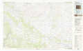 |
Craig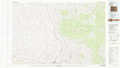 |
Walden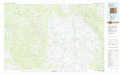 |
Rangely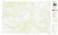 |
Meeker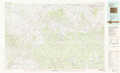 |
Steamboat Springs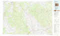 |
> Back to 40106a1 at 1:250,000 scale
> Back to U.S. Topo Maps home
1:24,000 Topo Quads covered by the spatial extent of this 100k map (Craig)
|
Bighole Butte 
|
Thornburgh Gulch 
|
Pole Gulch 
|
Fortification Ne 
|
Bakers Peak 
|
Fly Creek 
|
Tumble Mountain 
|
Shield Mountain 
|
|
Mayberry Spring 
|
Great Divide 
|
East Timberlake Creek 
|
Fortification 
|
Freeman Reservoir 
|
Buck Point 
|
Bears Ears Peaks 
|
Meaden Peak 
|
|
Adobe Springs 
|
Iron Springs 
|
Craig Nw 
|
Craig Ne 
|
Mcinturf Mesa 
|
Slide Mountain 
|
Quaker Mountain 
|
Pilot Knob 
|
|
Lay 
|
Lay Se 
|
Pine Ridge 
|
Craig 
|
Ralph White Lake 
|
Rock Spring Gulch 
|
Hooker Mountain 
|
Wolf Mountain 
|