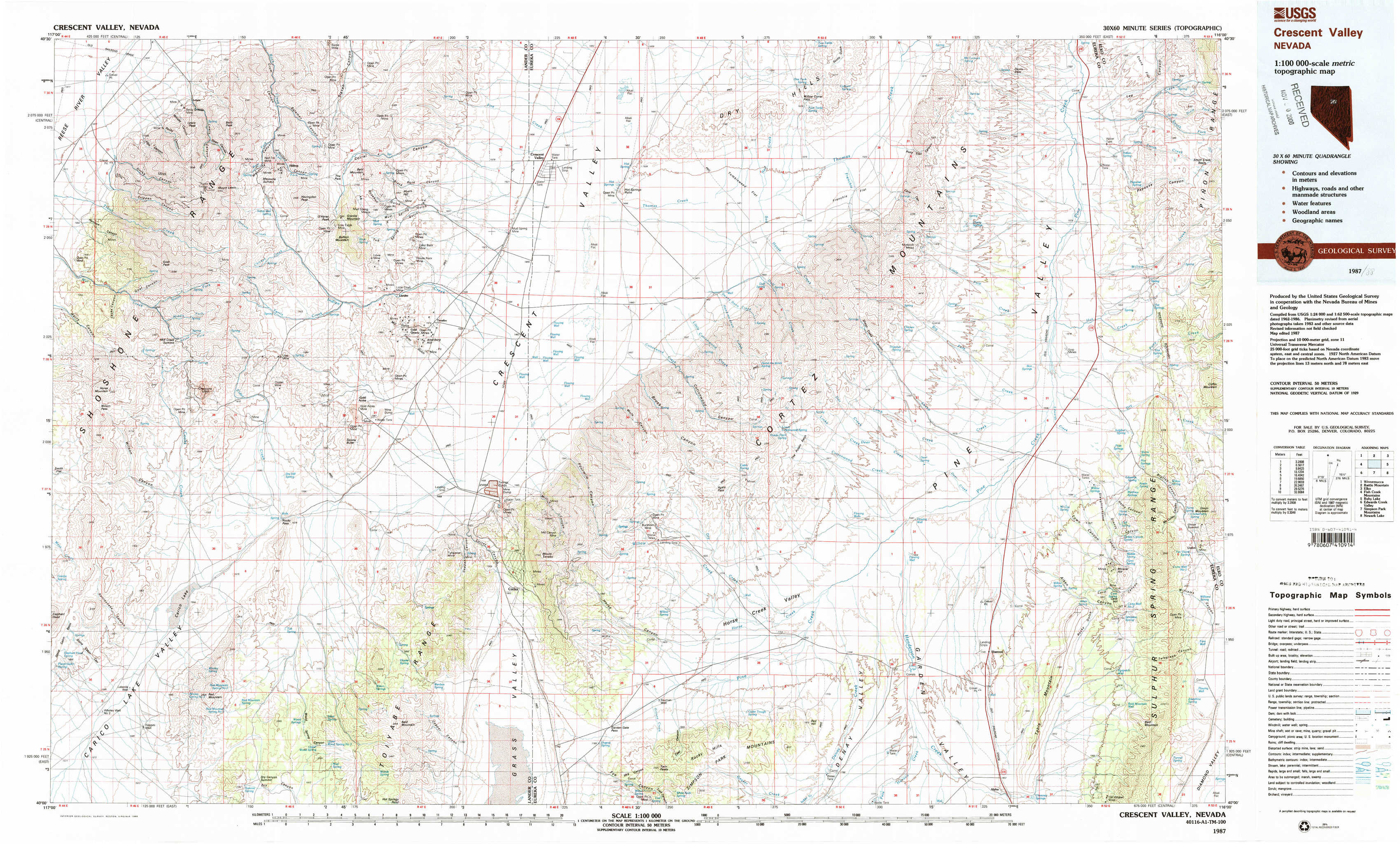
Crescent Valley Topo Map Nevada
To zoom in, hover over the map of Crescent Valley
USGS Topo Map 40116a1 - 1:100,000 scale
| Topo Map Name: | Crescent Valley |
| USGS Topo Quad ID: | 40116a1 |
| Print Size: | ca. 39" wide x 24" high |
| Southeast Coordinates: | 40° N latitude / 116° W longitude |
| Map Center Coordinates: | 40.25° N latitude / 116.5° W longitude |
| U.S. State: | NV |
| Filename: | 40116a1.jpg |
| Download Map JPG Image: | Crescent Valley topo map 1:100,000 scale |
| Map Type: | Topographic |
| Topo Series: | 30´x60´ |
| Map Scale: | 1:100,000 |
| Source of Map Images: | United States Geological Survey (USGS) |
| Alternate Map Versions: |
Crescent Valley NV 1987, updated 1988 Download PDF Buy paper map Crescent Valley NV 1987, updated 1988 Download PDF Buy paper map |
1:100,000 Topos surrounding Crescent Valley
Winnemucca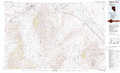 |
Battle Mountain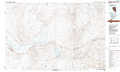 |
Elko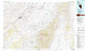 |
Fish Creek Mountains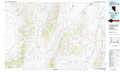 |
Crescent Valley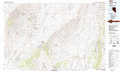 |
Ruby Lake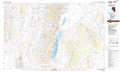 |
Edwards Creek Valley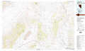 |
Simpson Park Mountains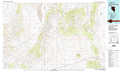 |
Newark Lake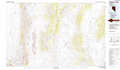 |
> Back to 40116a1 at 1:250,000 scale
> Back to U.S. Topo Maps home
1:24,000 Topo Quads covered by the spatial extent of this 100k map (Crescent Valley)
|
Crippen Canyon 
|
Mount Lewis 
|
Mud Spring Gulch 
|
Crescent Valley 
|
Tumbleweed Flat 
|
Frenchie Flat 
|
Mccormack Spring 
|
Papoose Canyon 
|
|
Goat Peak 
|
Ferris Creek 
|
Tenabo 
|
East Of Tenabo 
|
Hand-Me-Down Creek 
|
Thatcher Spring 
|
West Of Coffin Mountain 
|
Coffin Mountain 
|
|
Carico Lake North 
|
Rocky Pass 
|
Cortez Canyon 
|
Cortez 
|
Buckhorn Mine 
|
Curlow Flat 
|
Mineral Hill Nw 
|
Mineral Hill 
|
|
Carico Lake South 
|
Wood Spring Canyon 
|
Wenban Spring 
|
Dugout Spring 
|
Rocky Hills 
|
Pete Hanson Creek 
|
Mineral Hill Sw 
|
Telegraph Canyon 
|