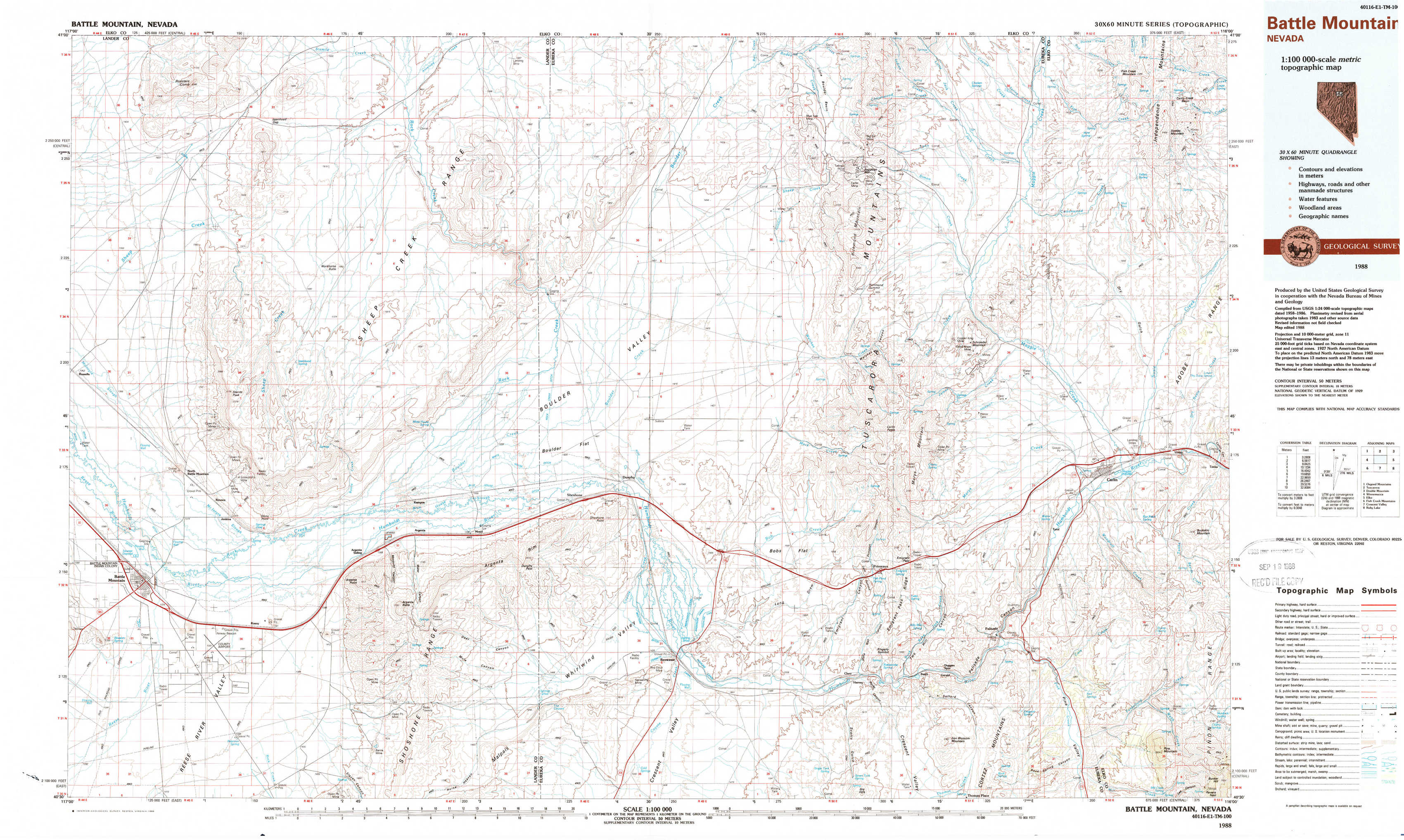
Battle Mountain Topo Map Nevada
To zoom in, hover over the map of Battle Mountain
USGS Topo Map 40116e1 - 1:100,000 scale
| Topo Map Name: | Battle Mountain |
| USGS Topo Quad ID: | 40116e1 |
| Print Size: | ca. 39" wide x 24" high |
| Southeast Coordinates: | 40.5° N latitude / 116° W longitude |
| Map Center Coordinates: | 40.75° N latitude / 116.5° W longitude |
| U.S. State: | NV |
| Filename: | 40116e1.jpg |
| Download Map JPG Image: | Battle Mountain topo map 1:100,000 scale |
| Map Type: | Topographic |
| Topo Series: | 30´x60´ |
| Map Scale: | 1:100,000 |
| Source of Map Images: | United States Geological Survey (USGS) |
| Alternate Map Versions: |
Battle Mountain NV 1988 Download PDF Buy paper map |
1:100,000 Topos surrounding Battle Mountain
Osgood Mountains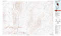 |
Tuscarora |
Double Mountain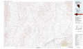 |
Winnemucca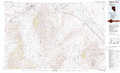 |
Battle Mountain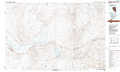 |
Elko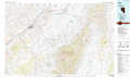 |
Fish Creek Mountains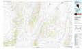 |
Crescent Valley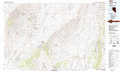 |
Ruby Lake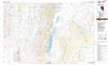 |
> Back to 40116a1 at 1:250,000 scale
> Back to U.S. Topo Maps home
1:24,000 Topo Quads covered by the spatial extent of this 100k map (Battle Mountain)
|
Izzenhood Ranch 
|
Izzenhood Gap 
|
Sheep Creek Range Nw 
|
Sheep Creek Range Ne 
|
Rodeo Creek Nw 
|
Rodeo Creek Ne 
|
Swales Mountain Nw 
|
Swales Mountain 
|
|
Russells 
|
Izzenhood Spring 
|
Sheep Creek Range Sw 
|
Sheep Creek Range Se 
|
Rodeo Creek Sw 
|
Welches Canyon 
|
Schroeder Mountain 
|
Huntsman Ranch 
|
|
Battle Mountain 
|
Stony Point 
|
Argenta 
|
Dunphy 
|
Bobs Flat 
|
Emigrant Pass 
|
Carlin West 
|
Carlin East 
|
|
Blossom Spring 
|
Bateman Spring 
|
Mule Canyon 
|
The Geysers 
|
Beowawe 
|
Scotts Gulch 
|
Palisade 
|
Ravens Nest 
|