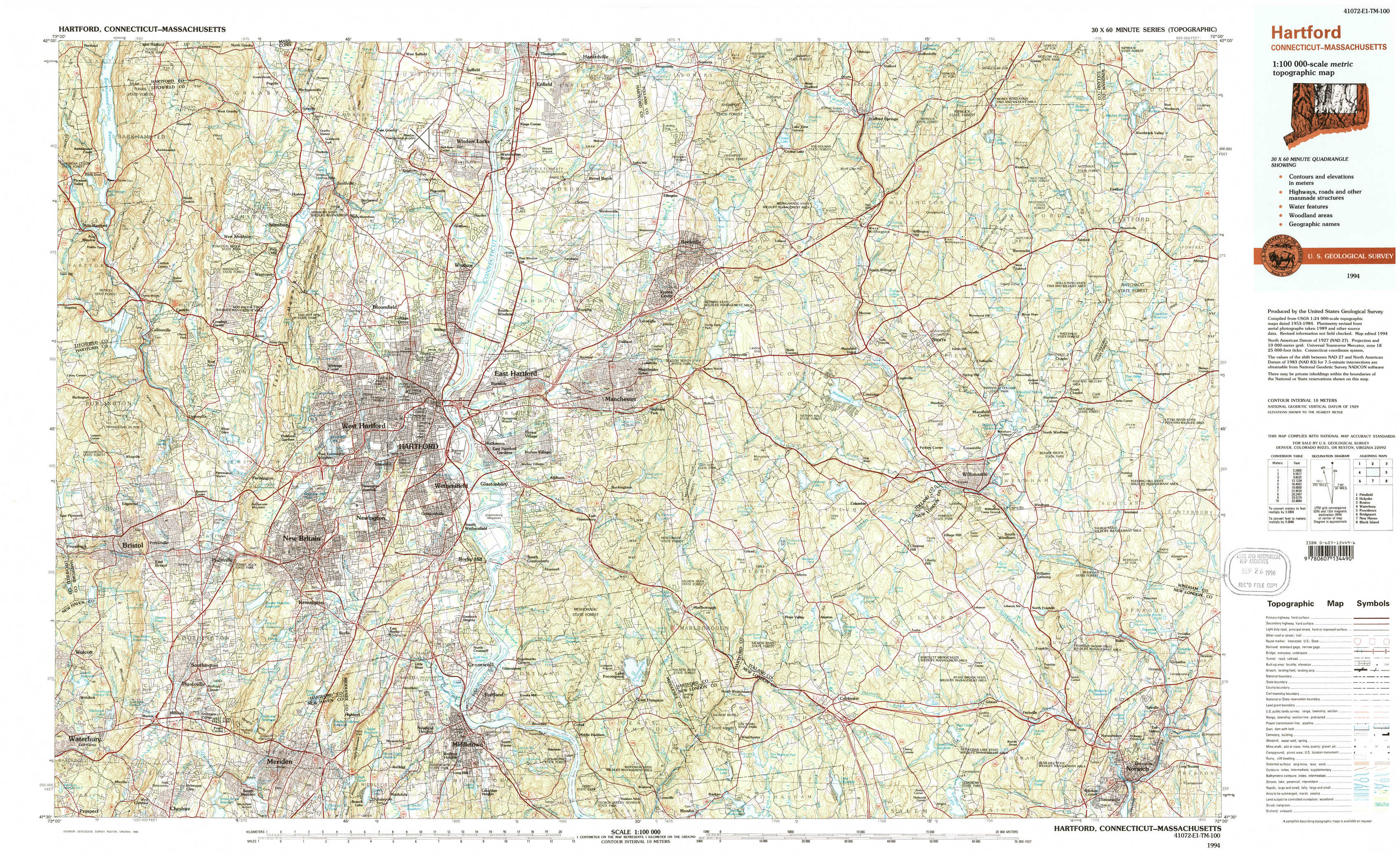
Hartford Topo Map Connecticut
To zoom in, hover over the map of Hartford
USGS Topo Map 41072e1 - 1:100,000 scale
| Topo Map Name: | Hartford |
| USGS Topo Quad ID: | 41072e1 |
| Print Size: | ca. 39" wide x 24" high |
| Southeast Coordinates: | 41.5° N latitude / 72° W longitude |
| Map Center Coordinates: | 41.75° N latitude / 72.5° W longitude |
| U.S. States: | CT, MA |
| Filename: | 41072e1.jpg |
| Download Map JPG Image: | Hartford topo map 1:100,000 scale |
| Map Type: | Topographic |
| Topo Series: | 30´x60´ |
| Map Scale: | 1:100,000 |
| Source of Map Images: | United States Geological Survey (USGS) |
| Alternate Map Versions: |
Hartford CT 1986, updated 1986 Download PDF Buy paper map Hartford CT 1994, updated 1995 Download PDF Buy paper map Hartford CT 1994, updated 1995 Download PDF Buy paper map |
1:100,000 Topos surrounding Hartford
Pittsfield |
Holyoke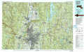 |
Boston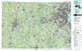 |
Waterbury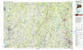 |
Hartford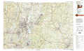 |
Providence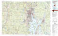 |
Bridgeport |
New Haven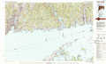 |
Block Island |
> Back to 41072a1 at 1:250,000 scale
> Back to U.S. Topo Maps home
1:24,000 Topo Quads covered by the spatial extent of this 100k map (Hartford)
|
New Hartford 
|
Tariffville 
|
Windsor Locks 
|
Broad Brook 
|
Ellington 
|
Stafford Springs 
|
Westford 
|
Eastford 
|
|
Collinsville 
|
Avon 
|
Hartford North 
|
Manchester 
|
Rockville 
|
South Coventry 
|
Spring Hill 
|
Hampton 
|
|
Bristol 
|
New Britain 
|
Hartford South 
|
Glastonbury 
|
Marlborough 
|
Columbia 
|
Willimantic 
|
Scotland 
|
|
Southington 
|
Meriden 
|
Middletown 
|
Middle Haddam 
|
Moodus 
|
Colchester 
|
Fitchville 
|
Norwich 
|