Waterbury Topo Map Connecticut
To zoom in, hover over the map of Waterbury
USGS Topo Map 41073e1 - 1:100,000 scale
| Topo Map Name: | Waterbury |
| USGS Topo Quad ID: | 41073e1 |
| Print Size: | ca. 39" wide x 24" high |
| Southeast Coordinates: | 41.5° N latitude / 73° W longitude |
| Map Center Coordinates: | 41.75° N latitude / 73.5° W longitude |
| U.S. States: | CT, NY |
| Filename: | 41073e1.jpg |
| Download Map JPG Image: | Waterbury topo map 1:100,000 scale |
| Map Type: | Topographic |
| Topo Series: | 30´x60´ |
| Map Scale: | 1:100,000 |
| Source of Map Images: | United States Geological Survey (USGS) |
| Alternate Map Versions: |
Waterbury CT 1985, updated 1986 Download PDF Buy paper map Waterbury CT 1993, updated 1993 Download PDF Buy paper map |
1:100,000 Topos surrounding Waterbury
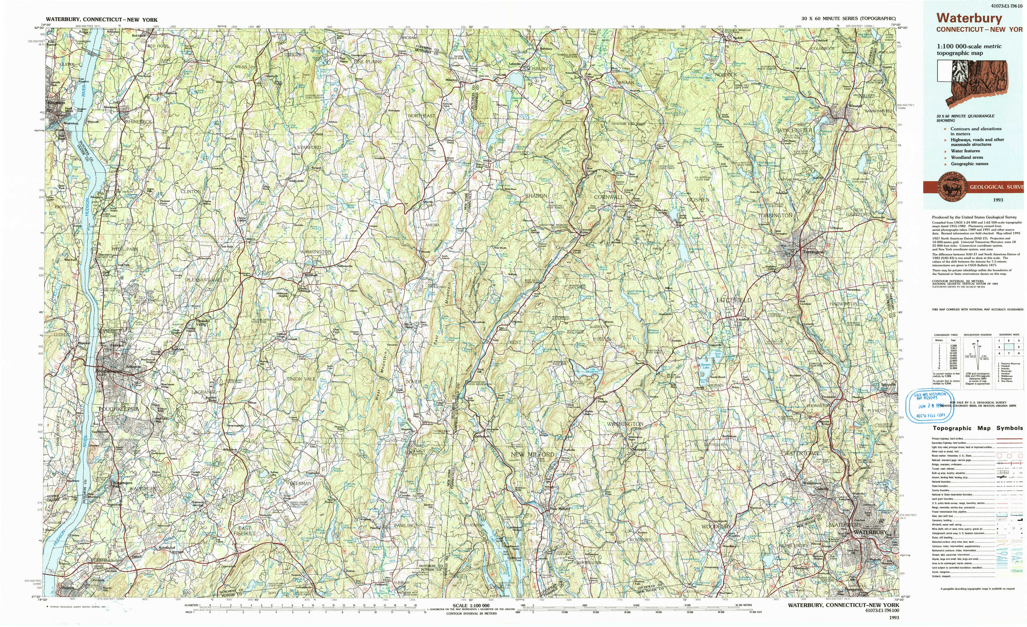
Pepacton Reservoir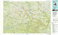 |
Pittsfield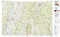 |
Holyoke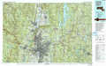 |
Monticello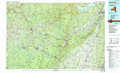 |
Waterbury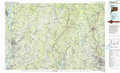 |
Hartford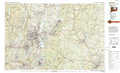 |
Middletown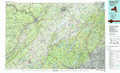 |
Bridgeport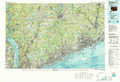 |
New Haven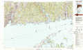 |
> Back to 41072a1 at 1:250,000 scale
> Back to U.S. Topo Maps home
1:24,000 Topo Quads covered by the spatial extent of this 100k map (Waterbury)
|
Kingston East 
|
Rock City 
|
Pine Plains 
|
Millerton 
|
Sharon 
|
South Canaan 
|
Norfolk 
|
Winsted 
|
|
Hyde Park 
|
Salt Point 
|
Millbrook 
|
Amenia 
|
Ellsworth 
|
Cornwall 
|
West Torrington 
|
Torrington 
|
|
Poughkeepsie 
|
Pleasant Valley 
|
Verbank 
|
Dover Plains 
|
Kent 
|
New Preston 
|
Litchfield 
|
Thomaston 
|
|
Wappingers Falls 
|
Hopewell Junction 
|
Poughquag 
|
Pawling 
|
New Milford 
|
Roxbury 
|
Woodbury 
|
Waterbury 
|