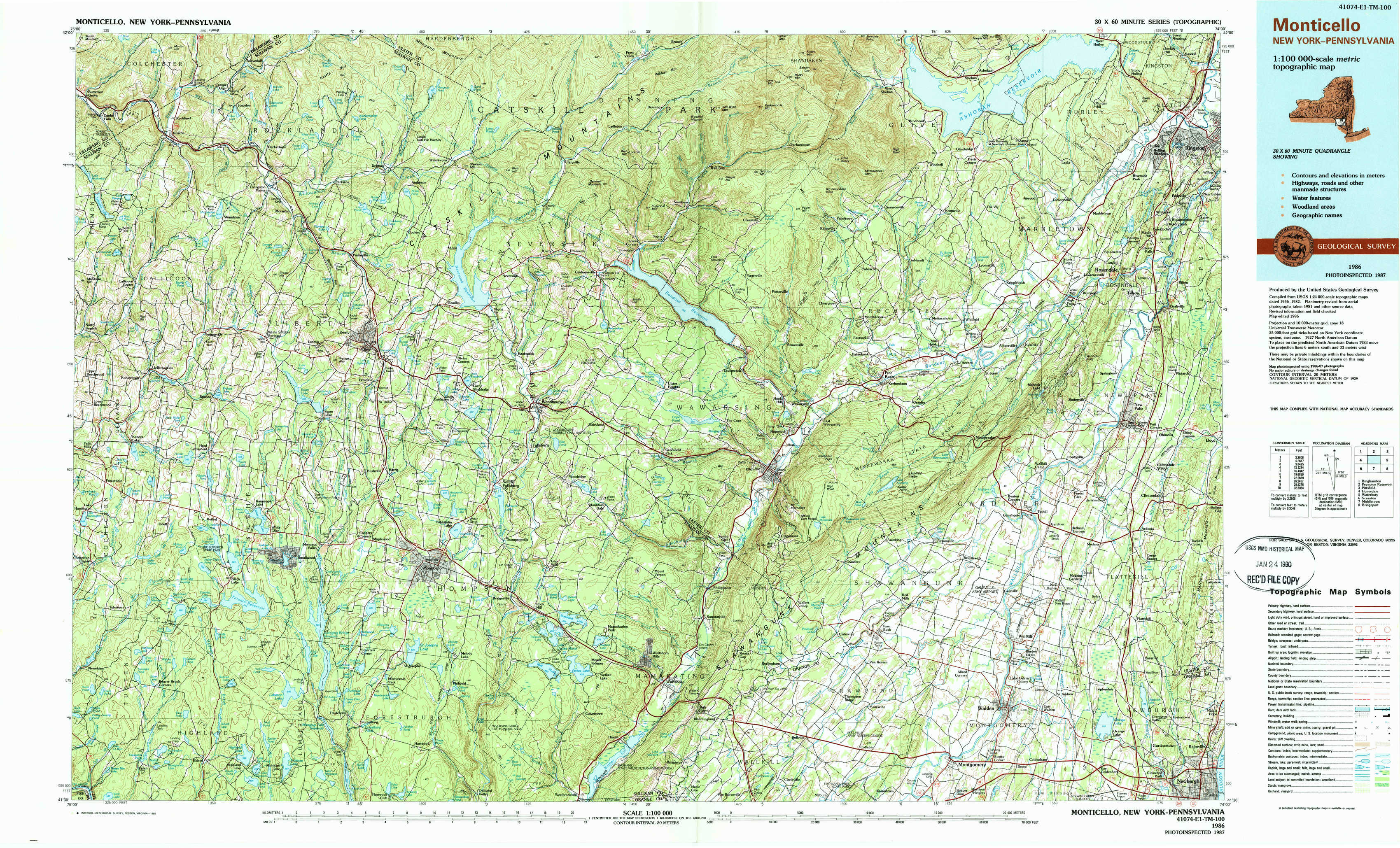
Monticello Topo Map New York
To zoom in, hover over the map of Monticello
USGS Topo Map 41074e1 - 1:100,000 scale
| Topo Map Name: | Monticello |
| USGS Topo Quad ID: | 41074e1 |
| Print Size: | ca. 39" wide x 24" high |
| Southeast Coordinates: | 41.5° N latitude / 74° W longitude |
| Map Center Coordinates: | 41.75° N latitude / 74.5° W longitude |
| U.S. States: | NY, PA |
| Filename: | 41074e1.jpg |
| Download Map JPG Image: | Monticello topo map 1:100,000 scale |
| Map Type: | Topographic |
| Topo Series: | 30´x60´ |
| Map Scale: | 1:100,000 |
| Source of Map Images: | United States Geological Survey (USGS) |
| Alternate Map Versions: |
Monticello NY 1986, updated 1986 Download PDF Buy paper map Monticello NY 1986, updated 1989 Download PDF Buy paper map |
1:100,000 Topos surrounding Monticello
Binghamton |
Pepacton Reservoir |
Pittsfield |
Honesdale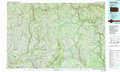 |
Monticello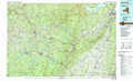 |
Waterbury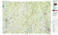 |
Scranton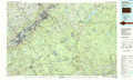 |
Middletown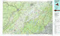 |
Bridgeport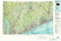 |
> Back to 41074a1 at 1:250,000 scale
> Back to U.S. Topo Maps home
1:24,000 Topo Quads covered by the spatial extent of this 100k map (Monticello)
|
Roscoe 
|
Livingston Manor 
|
Willowemoc 
|
Claryville 
|
Peekamoose Mountain 
|
West Shokan 
|
Ashokan 
|
Kingston West 
|
|
Jeffersonville 
|
Liberty West 
|
Liberty East 
|
Grahamsville 
|
Rondout Reservoir 
|
Kerhonkson 
|
Mohonk Lake 
|
Rosendale 
|
|
Lake Huntington 
|
White Lake 
|
Monticello 
|
Woodridge 
|
Ellenville 
|
Napanoch 
|
Gardiner 
|
Clintondale 
|
|
Eldred 
|
Highland Lake 
|
Hartwood 
|
Yankee Lake 
|
Wurtsboro 
|
Pine Bush 
|
Walden 
|
Newburgh 
|