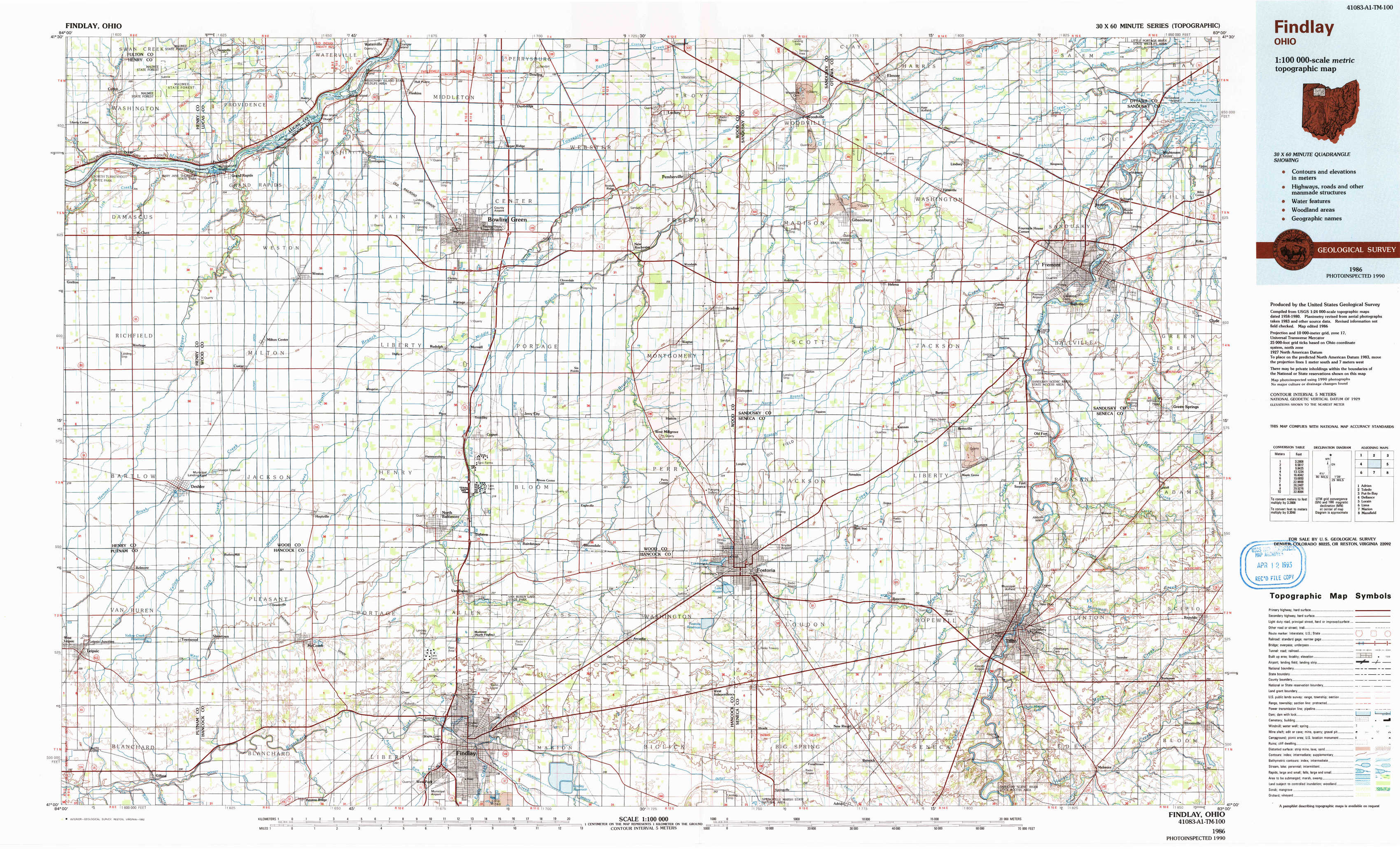
Findlay Topo Map Ohio
To zoom in, hover over the map of Findlay
USGS Topo Map 41083a1 - 1:100,000 scale
| Topo Map Name: | Findlay |
| USGS Topo Quad ID: | 41083a1 |
| Print Size: | ca. 39" wide x 24" high |
| Southeast Coordinates: | 41° N latitude / 83° W longitude |
| Map Center Coordinates: | 41.25° N latitude / 83.5° W longitude |
| U.S. State: | OH |
| Filename: | 41083a1.jpg |
| Download Map JPG Image: | Findlay topo map 1:100,000 scale |
| Map Type: | Topographic |
| Topo Series: | 30´x60´ |
| Map Scale: | 1:100,000 |
| Source of Map Images: | United States Geological Survey (USGS) |
| Alternate Map Versions: |
Findlay OH 1986, updated 1986 Download PDF Buy paper map Findlay OH 1986, updated 1992 Download PDF Buy paper map |
1:100,000 Topos surrounding Findlay
Adrian |
Toledo |
Put-In-Bay |
Defiance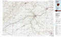 |
Findlay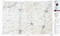 |
Lorain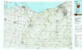 |
Lima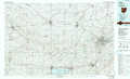 |
Marion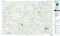 |
Mansfield |
> Back to 41082a1 at 1:250,000 scale
> Back to U.S. Topo Maps home
1:24,000 Topo Quads covered by the spatial extent of this 100k map (Findlay)
|
Colton 
|
Grand Rapids 
|
Bowling Green North 
|
Dunbridge 
|
Pemberville 
|
Elmore 
|
Lindsey 
|
Wightmans Grove 
|
|
Mcclure 
|
Weston 
|
Bowling Green South 
|
Jerry City 
|
Bradner 
|
Helena 
|
Fremont West 
|
Fremont East 
|
|
Deshler 
|
Hoytville 
|
North Baltimore 
|
Bloomdale 
|
Fostoria 
|
Bascom 
|
Tiffin North 
|
Watson 
|
|
Leipsic 
|
Mccomb 
|
Findlay 
|
Arcadia 
|
Alvada 
|
New Riegel 
|
Tiffin South 
|
Bloomville 
|