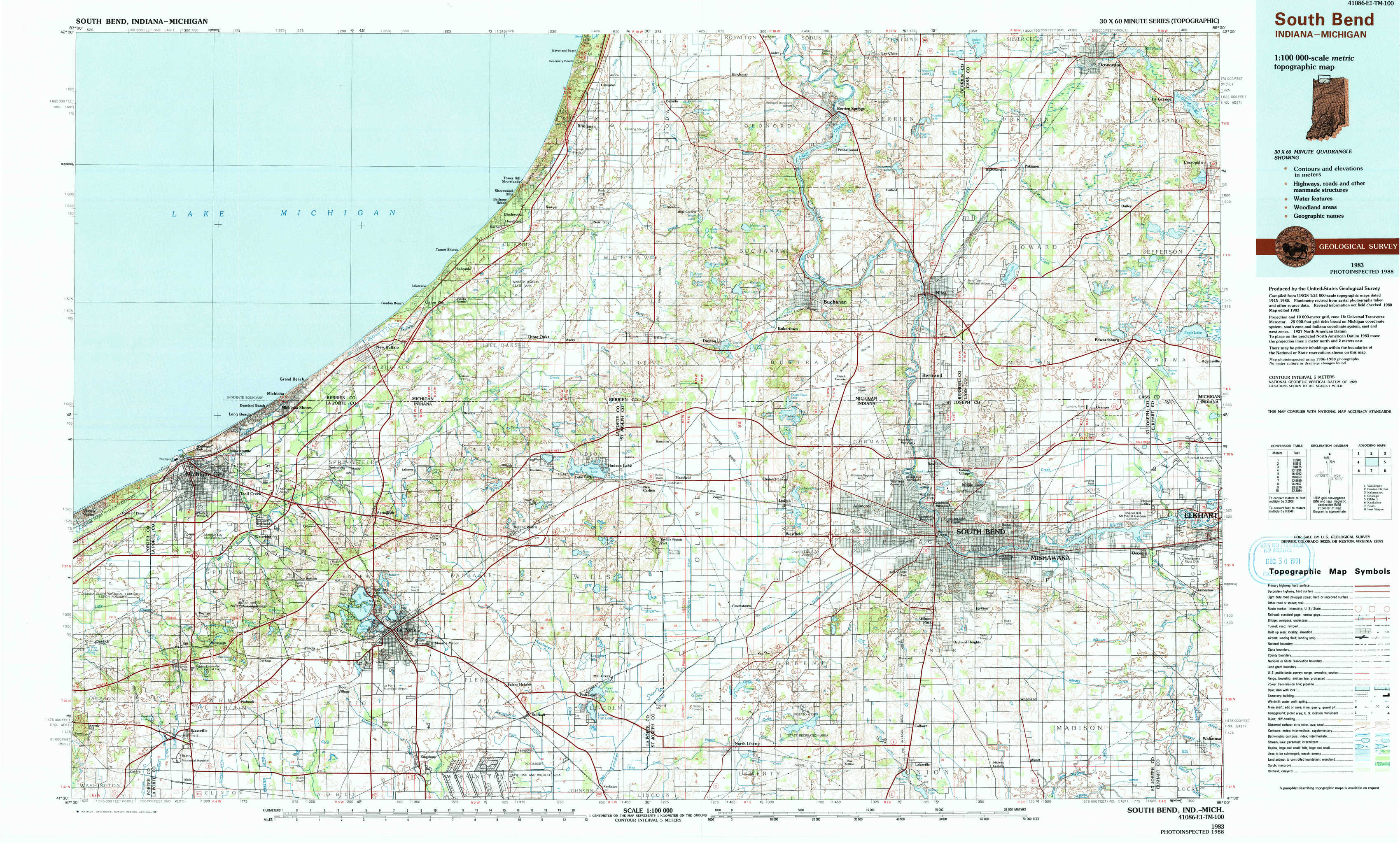
South Bend Topo Map Indiana
To zoom in, hover over the map of South Bend
USGS Topo Map 41086e1 - 1:100,000 scale
| Topo Map Name: | South Bend |
| USGS Topo Quad ID: | 41086e1 |
| Print Size: | ca. 39" wide x 24" high |
| Southeast Coordinates: | 41.5° N latitude / 86° W longitude |
| Map Center Coordinates: | 41.75° N latitude / 86.5° W longitude |
| U.S. States: | IN, MI |
| Filename: | 41086e1.jpg |
| Download Map JPG Image: | South Bend topo map 1:100,000 scale |
| Map Type: | Topographic |
| Topo Series: | 30´x60´ |
| Map Scale: | 1:100,000 |
| Source of Map Images: | United States Geological Survey (USGS) |
| Alternate Map Versions: |
South Bend IN 1983, updated 1984 Download PDF Buy paper map South Bend IN 1983, updated 1991 Download PDF Buy paper map |
1:100,000 Topos surrounding South Bend
Waukegan |
Benton Harbor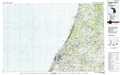 |
Kalamazoo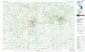 |
Chicago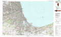 |
South Bend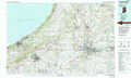 |
Elkhart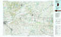 |
Kankakee |
Knox |
Fort Wayne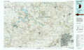 |
> Back to 41086a1 at 1:250,000 scale
> Back to U.S. Topo Maps home
1:24,000 Topo Quads covered by the spatial extent of this 100k map (South Bend)
|
Bridgman 
|
Baroda 
|
Berrien Springs 
|
Sumnerville 
|
Dowagiac 
|
|||
|
New Buffalo West 
|
New Buffalo East 
|
Three Oaks 
|
Galien 
|
Niles West 
|
Niles East 
|
Edwardsburg 
|
|
|
Michigan City West 
|
Michigan City East 
|
Springville 
|
New Carlisle 
|
Lydick 
|
South Bend West 
|
South Bend East 
|
Osceola 
|
|
Westville 
|
Laporte West 
|
Laporte East 
|
Stillwell 
|
North Liberty 
|
Lakeville 
|
Wyatt 
|
Wakarusa 
|