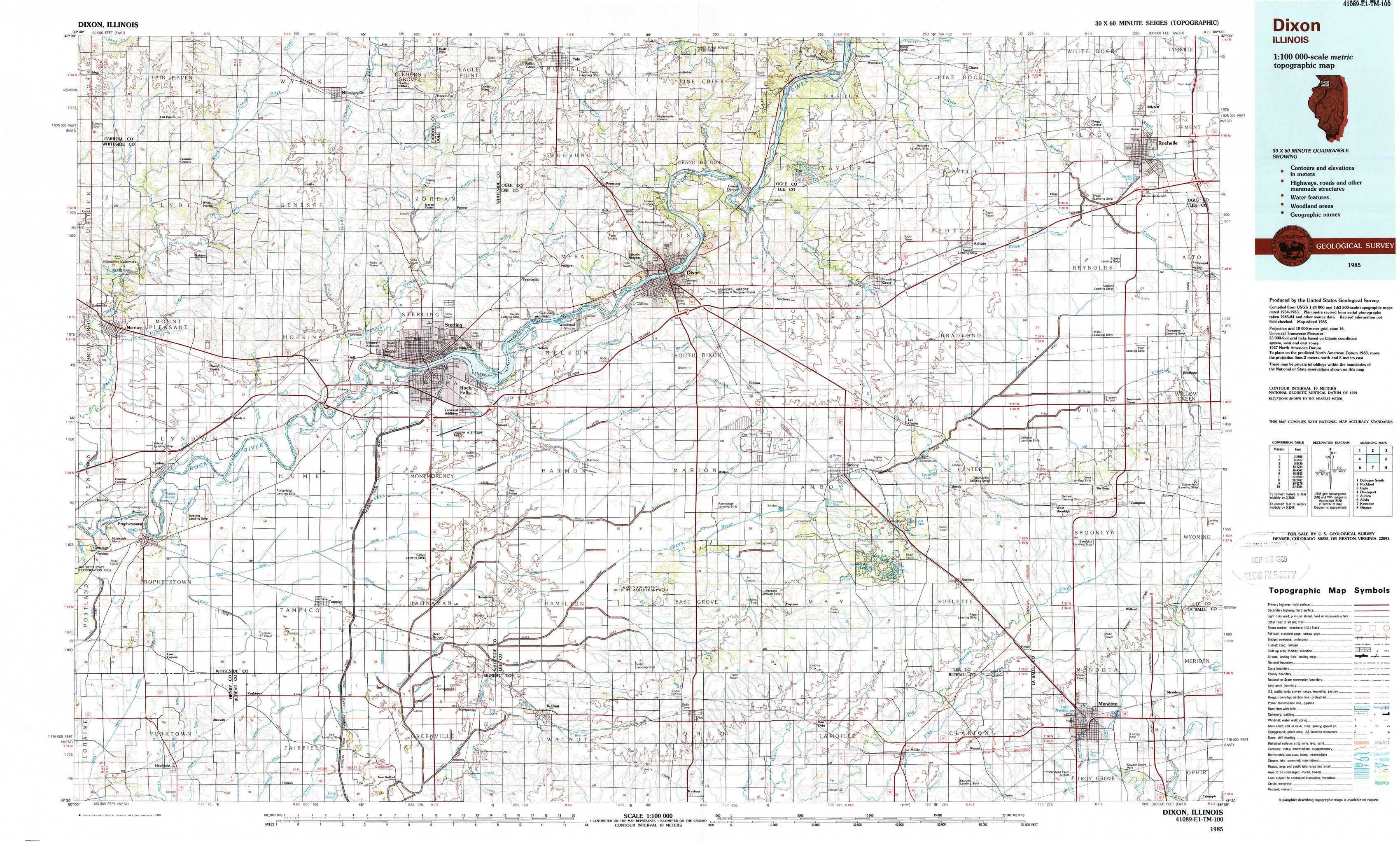
Dixon Topo Map Illinois
To zoom in, hover over the map of Dixon
USGS Topo Map 41089e1 - 1:100,000 scale
| Topo Map Name: | Dixon |
| USGS Topo Quad ID: | 41089e1 |
| Print Size: | ca. 39" wide x 24" high |
| Southeast Coordinates: | 41.5° N latitude / 89° W longitude |
| Map Center Coordinates: | 41.75° N latitude / 89.5° W longitude |
| U.S. State: | IL |
| Filename: | 41089e1.jpg |
| Download Map JPG Image: | Dixon topo map 1:100,000 scale |
| Map Type: | Topographic |
| Topo Series: | 30´x60´ |
| Map Scale: | 1:100,000 |
| Source of Map Images: | United States Geological Survey (USGS) |
| Alternate Map Versions: |
Dixon IL 1985, updated 1985 Download PDF Buy paper map Dixon IL 1985, updated 1989 Download PDF Buy paper map |
1:100,000 Topos surrounding Dixon
Dubuque South |
Rockford |
Elgin |
Davenport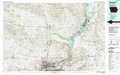 |
Dixon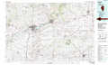 |
Aurora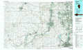 |
Aledo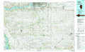 |
Kewanee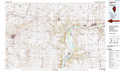 |
Ottawa |
> Back to 41088a1 at 1:250,000 scale
> Back to U.S. Topo Maps home
1:24,000 Topo Quads covered by the spatial extent of this 100k map (Dixon)
|
Fairhaven 
|
Milledgeville 
|
Hazelhurst 
|
Polo 
|
Grand Detour 
|
Daysville 
|
Chana 
|
Rochelle 
|
|
Morrison 
|
Como 
|
Sterling 
|
Dixon West 
|
Dixon East 
|
Franklin Grove 
|
Ashton 
|
Steward 
|
|
Prophetstown 
|
Tampico 
|
Hahnaman 
|
Harmon 
|
Walton 
|
Amboy 
|
Sublette 
|
Compton 
|
|
Hooppole 
|
Yorktown 
|
New Bedford 
|
Walnut 
|
Ohio 
|
Lamoille 
|
Mendota West 
|
Mendota East 
|