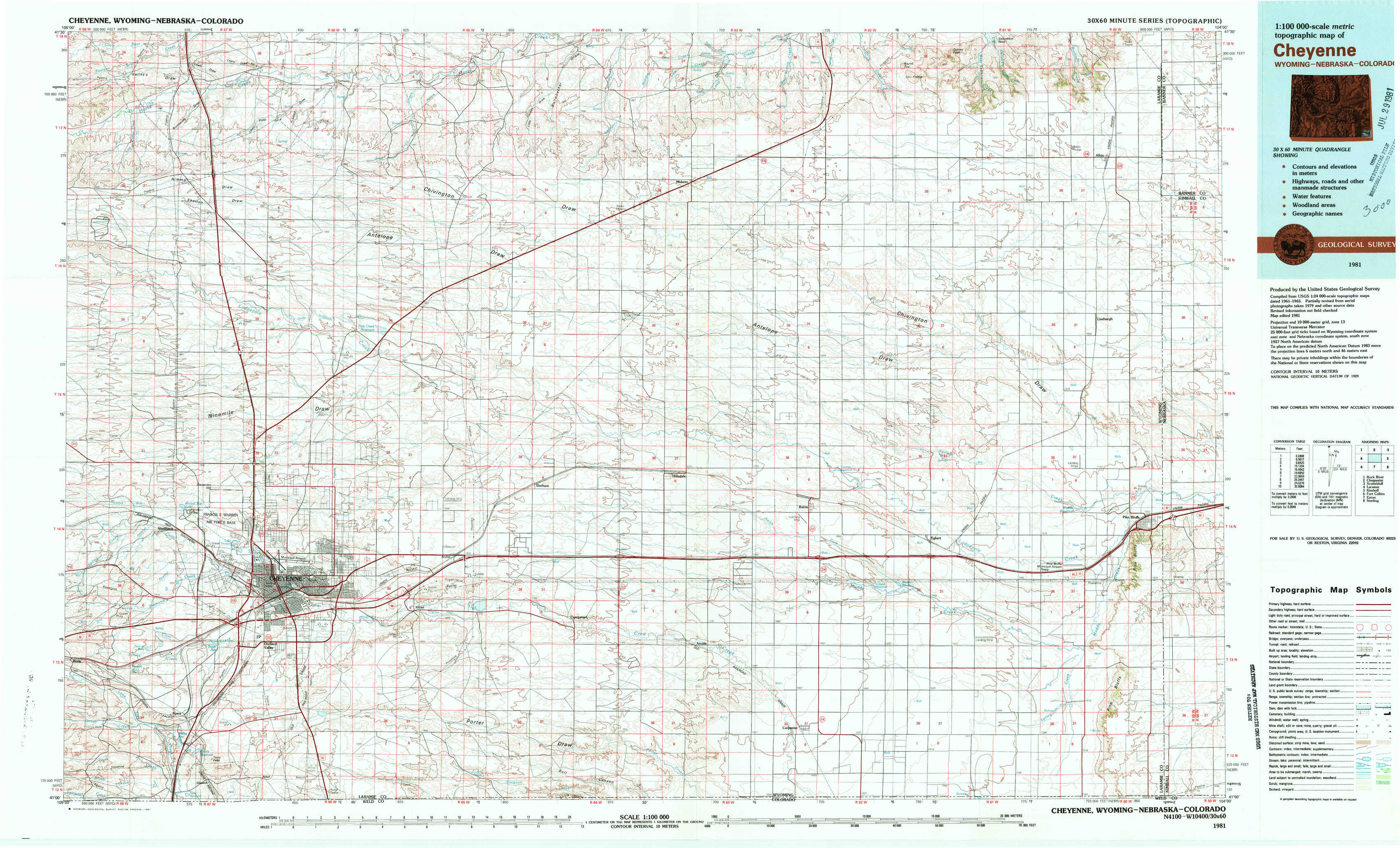
Cheyenne Topo Map Wyoming
To zoom in, hover over the map of Cheyenne
USGS Topo Map 41104a1 - 1:100,000 scale
| Topo Map Name: | Cheyenne |
| USGS Topo Quad ID: | 41104a1 |
| Print Size: | ca. 39" wide x 24" high |
| Southeast Coordinates: | 41° N latitude / 104° W longitude |
| Map Center Coordinates: | 41.25° N latitude / 104.5° W longitude |
| U.S. States: | WY, NE, CO |
| Filename: | 41104a1.jpg |
| Download Map JPG Image: | Cheyenne topo map 1:100,000 scale |
| Map Type: | Topographic |
| Topo Series: | 30´x60´ |
| Map Scale: | 1:100,000 |
| Source of Map Images: | United States Geological Survey (USGS) |
| Alternate Map Versions: |
Cheyenne WY 1981, updated 1981 Download PDF Buy paper map Cheyenne WY 1981, updated 1981 Download PDF Buy paper map |
1:100,000 Topos surrounding Cheyenne
Rock River |
Chugwater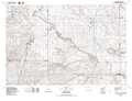 |
Scottsbluff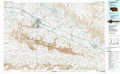 |
Laramie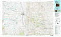 |
Cheyenne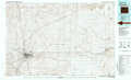 |
Kimball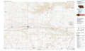 |
Fort Collins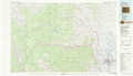 |
Eaton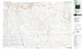 |
Sterling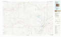 |
> Back to 41104a1 at 1:250,000 scale
> Back to U.S. Topo Maps home
1:24,000 Topo Quads covered by the spatial extent of this 100k map (Cheyenne)
|
Nimmo Ranch 
|
Lewis Ranch 
|
J H D Ranch 
|
Little Indian Draw 
|
Midway 
|
Round Top 
|
Gurney Peak 
|
Albin 
|
|
Farthing Ranch 
|
P O Ranch 
|
Pole Creek Ranch 
|
Pole Creek Ranch Se 
|
Midway Sw 
|
Midway Se 
|
Albin Sw 
|
Lindbergh 
|
|
Round Top Lake 
|
Cheyenne North 
|
Archer 
|
Durham 
|
Hillsdale 
|
Burns 
|
Tracy 
|
Pine Bluffs 
|
|
Borie 
|
Cheyenne South 
|
Altvan 
|
Campstool 
|
Arcola 
|
Carpenter 
|
Pine Bluffs Sw 
|
Pine Bluffs Se 
|