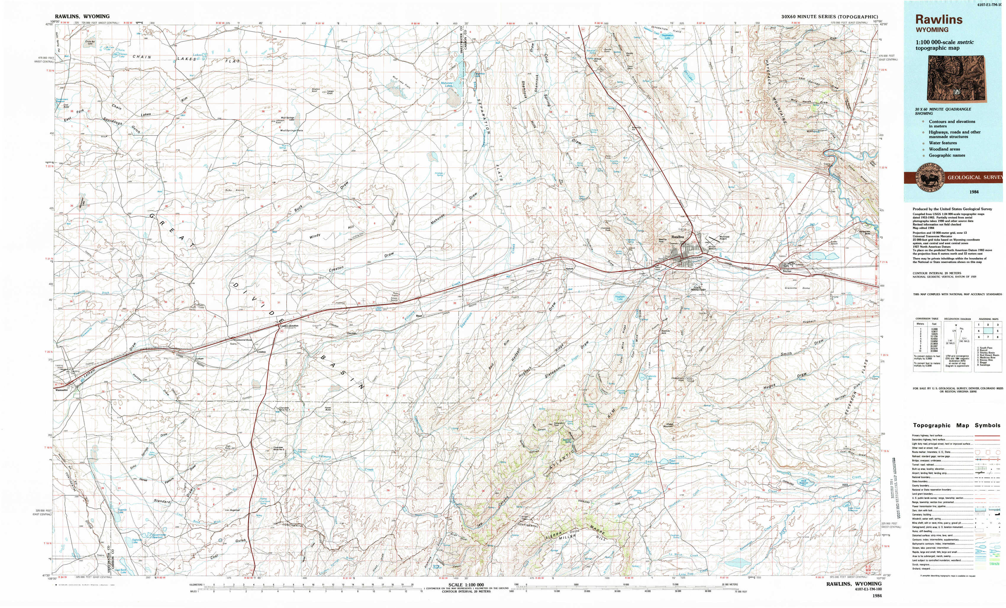
Rawlins Topo Map Wyoming
To zoom in, hover over the map of Rawlins
USGS Topo Map 41107e1 - 1:100,000 scale
| Topo Map Name: | Rawlins |
| USGS Topo Quad ID: | 41107e1 |
| Print Size: | ca. 39" wide x 24" high |
| Southeast Coordinates: | 41.5° N latitude / 107° W longitude |
| Map Center Coordinates: | 41.75° N latitude / 107.5° W longitude |
| U.S. State: | WY |
| Filename: | 41107e1.jpg |
| Download Map JPG Image: | Rawlins topo map 1:100,000 scale |
| Map Type: | Topographic |
| Topo Series: | 30´x60´ |
| Map Scale: | 1:100,000 |
| Source of Map Images: | United States Geological Survey (USGS) |
| Alternate Map Versions: |
Rawlins WY 1984, updated 1984 Download PDF Buy paper map |
1:100,000 Topos surrounding Rawlins
South Pass |
Bairoil |
Shirley Basin |
Red Desert Basin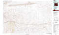 |
Rawlins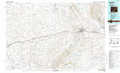 |
Medicine Bow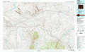 |
Kinney Rim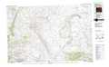 |
Baggs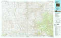 |
Saratoga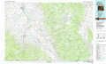 |
> Back to 41106a1 at 1:250,000 scale
> Back to U.S. Topo Maps home
1:24,000 Topo Quads covered by the spatial extent of this 100k map (Rawlins)
|
Hansen Lake 
|
Hansen Lake Ne 
|
Larsen Knoll 
|
Buck Draw 
|
Shamrock Hills 
|
Rendle Hill 
|
Rawlins Nw 
|
Lone Haystack Mountain 
|
|
Monument Lake 
|
Ruby Knolls 
|
Jawbone Ranch 
|
Antelope Spring 
|
Rawlins Peak Sw 
|
Rawlins Peak 
|
Rawlins 
|
Sinclair 
|
|
Wamsutter 
|
Creston 
|
Creston Junction 
|
Riner 
|
Separation Peak 
|
Coal Mine Ridge 
|
Smith Draw West 
|
Smith Draw East 
|
|
Eightmile Lake 
|
High Point 
|
Seaverson Reservoir 
|
Fillmore Ranch 
|
Bridge Pass 
|
La Marsh Creek West 
|
La Marsh Creek East 
|
Kindt Reservoir 
|