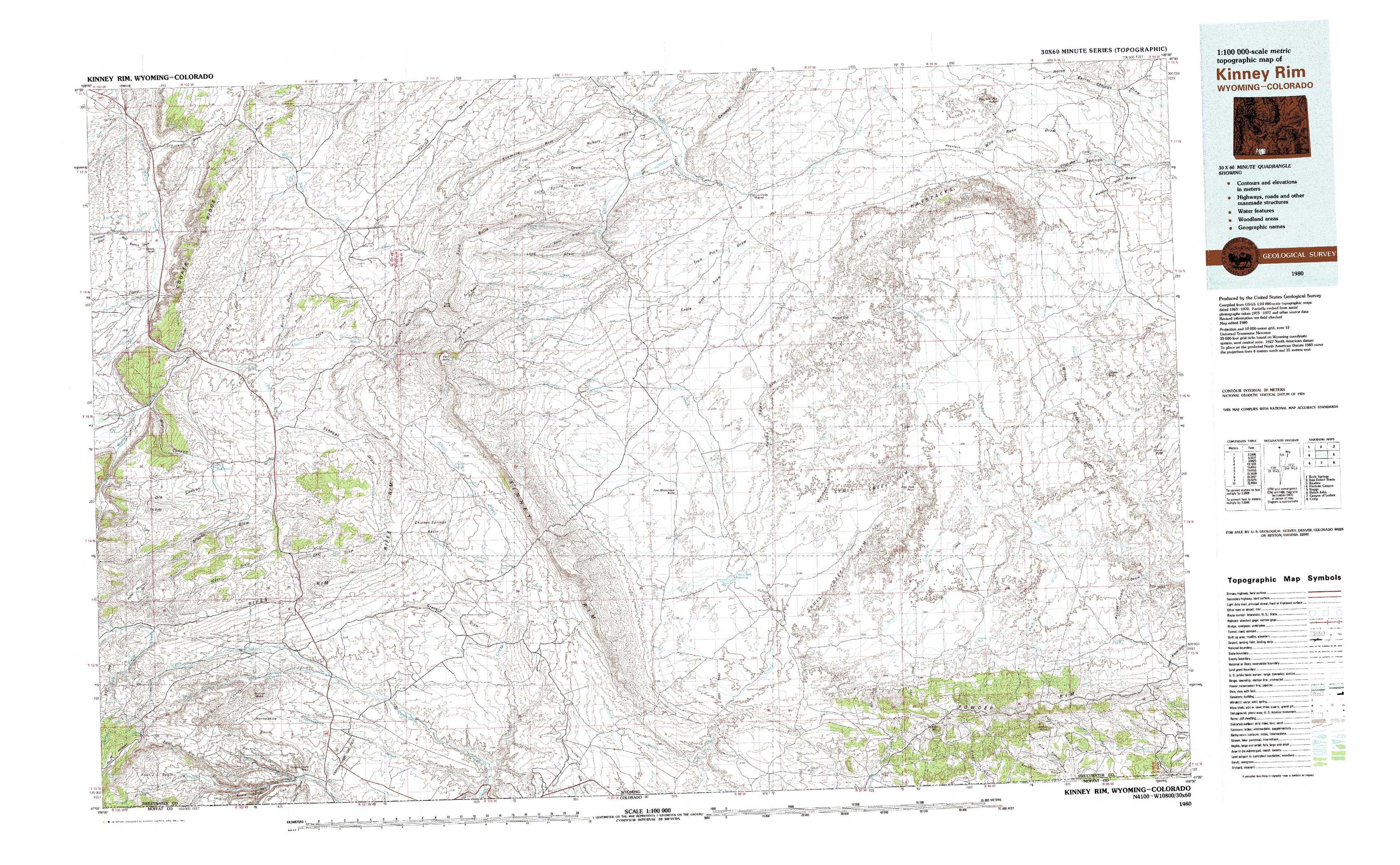
Kinney Rim Topo Map Wyoming
To zoom in, hover over the map of Kinney Rim
USGS Topo Map 41108a1 - 1:100,000 scale
| Topo Map Name: | Kinney Rim |
| USGS Topo Quad ID: | 41108a1 |
| Print Size: | ca. 39" wide x 24" high |
| Southeast Coordinates: | 41° N latitude / 108° W longitude |
| Map Center Coordinates: | 41.25° N latitude / 108.5° W longitude |
| U.S. States: | WY, CO |
| Filename: | 41108a1.jpg |
| Download Map JPG Image: | Kinney Rim topo map 1:100,000 scale |
| Map Type: | Topographic |
| Topo Series: | 30´x60´ |
| Map Scale: | 1:100,000 |
| Source of Map Images: | United States Geological Survey (USGS) |
| Alternate Map Versions: | none available in database |
1:100,000 Topos surrounding Kinney Rim
Rock Springs |
Red Desert Basin |
Rawlins |
Firehole Canyon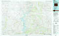 |
Kinney Rim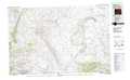 |
Baggs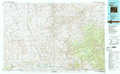 |
Dutch John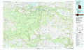 |
Canyon Of Lodore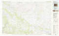 |
Craig |
> Back to 41108a1 at 1:250,000 scale
> Back to U.S. Topo Maps home
1:24,000 Topo Quads covered by the spatial extent of this 100k map (Kinney Rim)
|
Camel Rock 
|
Cooper Ridge Ne 
|
Sand Butte Rim Nw 
|
Antelope Flats 
|
Fort La Clede 
|
Fort La Clede Ne 
|
Haystack Flats 
|
Barrel Springs 
|
|
Mud Springs Ranch 
|
Burley Draw 
|
Pine Butte 
|
Sand Butte Rim Se 
|
Kinney Spring 
|
Manuel Gap 
|
Barrel Springs Sw 
|
Salazar Butte 
|
|
Potter Mountain 
|
Erickson-Kent Ranch 
|
Chicken Creek West 
|
Chicken Creek East 
|
Cow Creek Reservoir 
|
Monument Valley 
|
Prehistoric Rim 
|
Powder Mountain Ne 
|
|
Four J Rim 
|
Scrivner Butte 
|
Chicken Creek Sw 
|
Chicken Creek Se 
|
Cow Creek Reservoir Sw 
|
Upper Powder Spring 
|
Powder Mountain 
|
Rotten Springs 
|