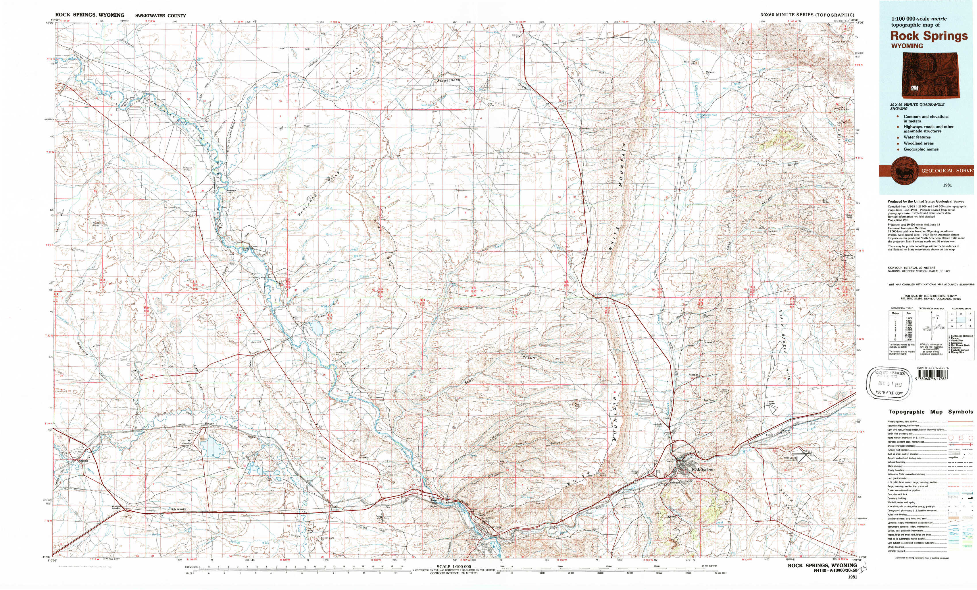
Rock Springs Topo Map Wyoming
To zoom in, hover over the map of Rock Springs
USGS Topo Map 41109e1 - 1:100,000 scale
| Topo Map Name: | Rock Springs |
| USGS Topo Quad ID: | 41109e1 |
| Print Size: | ca. 39" wide x 24" high |
| Southeast Coordinates: | 41.5° N latitude / 109° W longitude |
| Map Center Coordinates: | 41.75° N latitude / 109.5° W longitude |
| U.S. State: | WY |
| Filename: | 41109e1.jpg |
| Download Map JPG Image: | Rock Springs topo map 1:100,000 scale |
| Map Type: | Topographic |
| Topo Series: | 30´x60´ |
| Map Scale: | 1:100,000 |
| Source of Map Images: | United States Geological Survey (USGS) |
| Alternate Map Versions: |
Rock Springs WY 1981, updated 1981 Download PDF Buy paper map |
1:100,000 Topos surrounding Rock Springs
Fontenelle Reservoir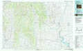 |
Farson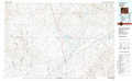 |
South Pass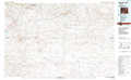 |
Kemmerer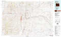 |
Rock Springs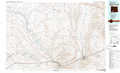 |
Red Desert Basin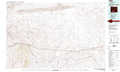 |
Evanston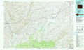 |
Firehole Canyon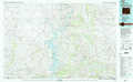 |
Kinney Rim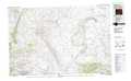 |
> Back to 41108a1 at 1:250,000 scale
> Back to U.S. Topo Maps home
1:24,000 Topo Quads covered by the spatial extent of this 100k map (Rock Springs)
|
Mccullen Bluff 
|
Thoman School 
|
Gasson Bridge 
|
Pittman Well 
|
Clay Buttes 
|
White Rocks 
|
Boars Tusk 
|
North Table Mountain 
|
|
Whiskey Buttes 
|
Lombard Buttes 
|
Big Island Bridge 
|
Chrisman Ranch 
|
Clay Buttes Sw 
|
Clay Buttes Se 
|
Boars Tusk Sw 
|
Deer Butte 
|
|
Sevenmile Gulch 
|
Blue Point 
|
Stevens Flat 
|
Austin Ranch 
|
Scott Spring 
|
Pilot Butte 
|
Reliance 
|
North Baxter 
|
|
Granger 
|
Little America 
|
Bryan 
|
Peru 
|
Green River 
|
Kanda 
|
Rock Springs 
|
Baxter 
|