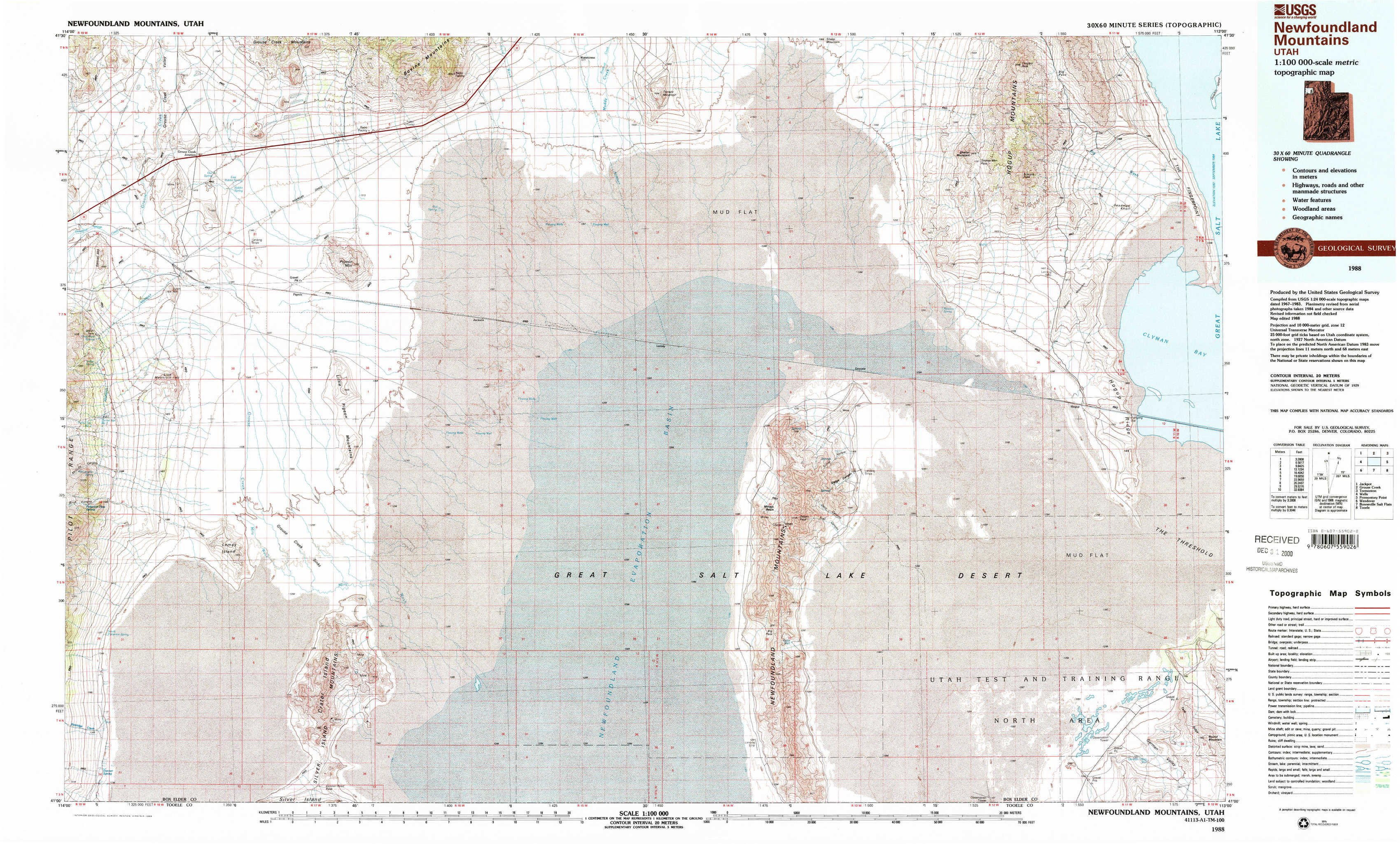
Newfoundland Mountains Topo Map Utah
To zoom in, hover over the map of Newfoundland Mountains
USGS Topo Map 41113a1 - 1:100,000 scale
| Topo Map Name: | Newfoundland Mountains |
| USGS Topo Quad ID: | 41113a1 |
| Print Size: | ca. 39" wide x 24" high |
| Southeast Coordinates: | 41° N latitude / 113° W longitude |
| Map Center Coordinates: | 41.25° N latitude / 113.5° W longitude |
| U.S. State: | UT |
| Filename: | 41113a1.jpg |
| Download Map JPG Image: | Newfoundland Mountains topo map 1:100,000 scale |
| Map Type: | Topographic |
| Topo Series: | 30´x60´ |
| Map Scale: | 1:100,000 |
| Source of Map Images: | United States Geological Survey (USGS) |
| Alternate Map Versions: |
Newfoundland Mountains UT 1988, updated 1988 Download PDF Buy paper map Newfoundland Mountains UT 1988, updated 1989 Download PDF Buy paper map Newfoundland Mountains UT 1988, updated 1989 Download PDF Buy paper map |
1:100,000 Topos surrounding Newfoundland Mountains
Jackpot |
Grouse Creek |
Tremonton |
Wells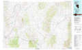 |
Newfoundland Mountains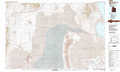 |
Promontory Point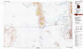 |
Wendover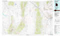 |
Bonneville Salt Flats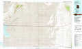 |
Tooele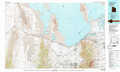 |
> Back to 41112a1 at 1:250,000 scale
> Back to U.S. Topo Maps home
1:24,000 Topo Quads covered by the spatial extent of this 100k map (Newfoundland Mountains)
|
Lucin Nw 
|
Lucin Ne 
|
Bovine 
|
Terrace Mountain West 
|
Terrace Mountain East 
|
Sheep Mountain 
|
Tangent Peak 
|
Dolphin Island West 
|
|
Lucin 
|
Pigeon Mountain 
|
Jackson 
|
Bovine Se 
|
Lemay 
|
Groome 
|
Meadow Spring 
|
Hogup Ridge North 
|
|
Crater Island Nw 
|
Lemay Island 
|
Lucin 4 Nw 
|
Lucin 4 Ne 
|
Miners Basin 
|
Desert Peak 
|
Round Mountain Nw 
|
Hogup Ridge South 
|
|
Crater Island Sw 
|
Crater Island 
|
Lucin 4 Sw 
|
Lucin 4 Se 
|
Big Pass 
|
Keller Well 
|
Round Mountain Sw 
|
Round Mountain 
|