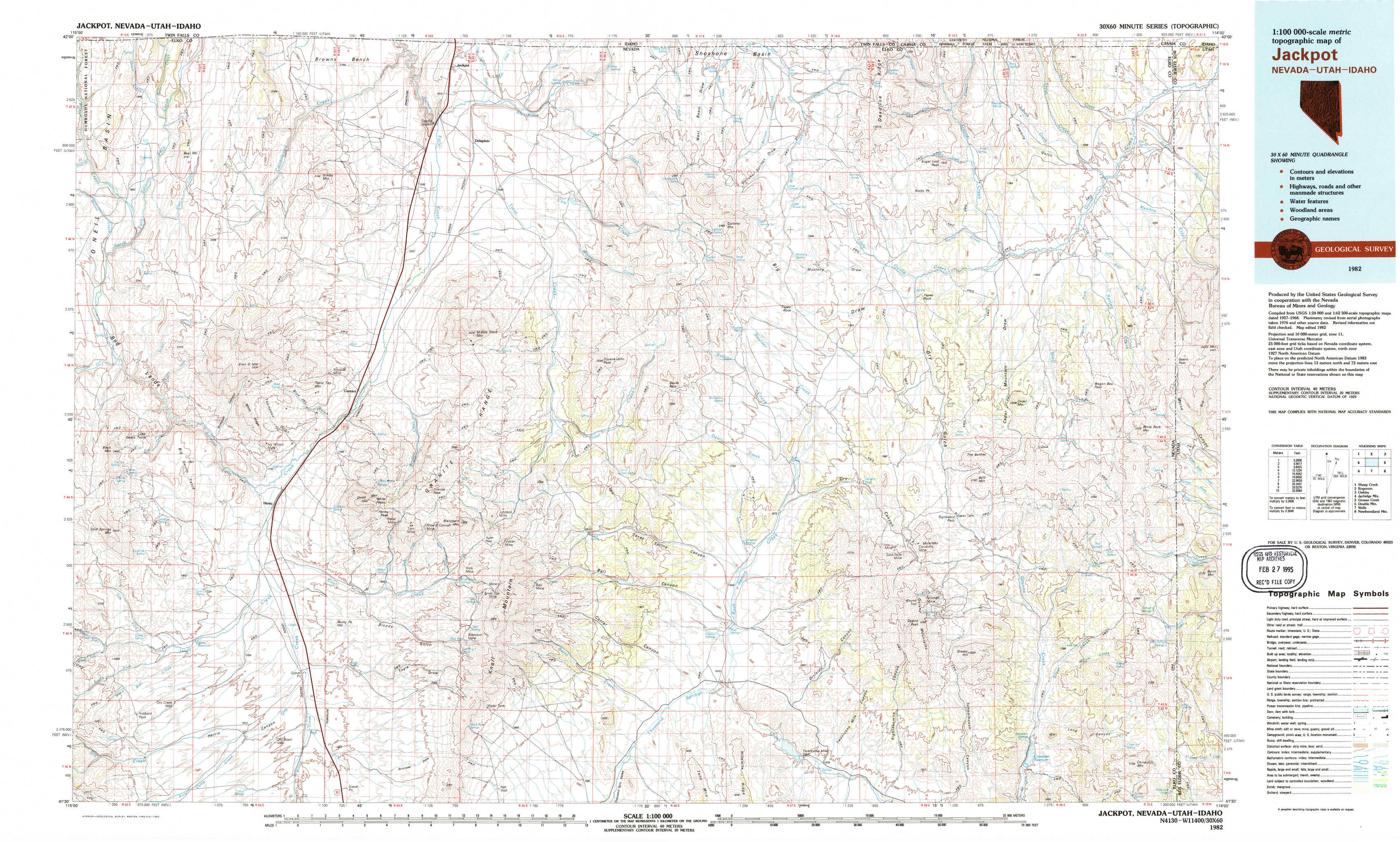
Jackpot Topo Map Nevada
To zoom in, hover over the map of Jackpot
USGS Topo Map 41114e1 - 1:100,000 scale
| Topo Map Name: | Jackpot |
| USGS Topo Quad ID: | 41114e1 |
| Print Size: | ca. 39" wide x 24" high |
| Southeast Coordinates: | 41.5° N latitude / 114° W longitude |
| Map Center Coordinates: | 41.75° N latitude / 114.5° W longitude |
| U.S. States: | NV, UT, ID |
| Filename: | 41114e1.jpg |
| Download Map JPG Image: | Jackpot topo map 1:100,000 scale |
| Map Type: | Topographic |
| Topo Series: | 30´x60´ |
| Map Scale: | 1:100,000 |
| Source of Map Images: | United States Geological Survey (USGS) |
| Alternate Map Versions: |
Jackpot NV 1982, updated 1982 Download PDF Buy paper map |
1:100,000 Topos surrounding Jackpot
Sheep Creek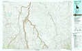 |
Rogerson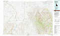 |
Oakley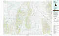 |
Jarbidge Mountains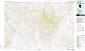 |
Jackpot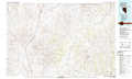 |
Grouse Creek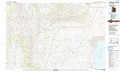 |
Double Mountain |
Wells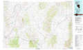 |
Newfoundland Mountains |
> Back to 41114a1 at 1:250,000 scale
> Back to U.S. Topo Maps home
1:24,000 Topo Quads covered by the spatial extent of this 100k map (Jackpot)
|
Bear Mountain 
|
Browns Bench Ranch 
|
Jackpot 
|
East Of Jackpot 
|
Gollaher Mountain 
|
Stratton Spring 
|
Fivemile Gulch 
|
Nile Spring 
|
|
Twin Meadows Ranch 
|
Contact 
|
Middle Stack Mountain 
|
Tijuana John Peak 
|
Devils Pass 
|
Mustang Draw 
|
Cedar Mountain Draw 
|
Judd Mountain 
|
|
Hubbard Basin 
|
Henry 
|
Blanchard Mountain 
|
Texas Spring 
|
Emigrant Springs 
|
Dry Canyon 
|
The Baldies 
|
Death Creek Reservoir 
|
|
Boies Reservoir 
|
Harris Canyon 
|
Knoll Mountain 
|
Knoll Mountain Se 
|
Chicken Springs 
|
Delano Peak 
|
Crittenden Springs 
|
Dairy Valley 
|