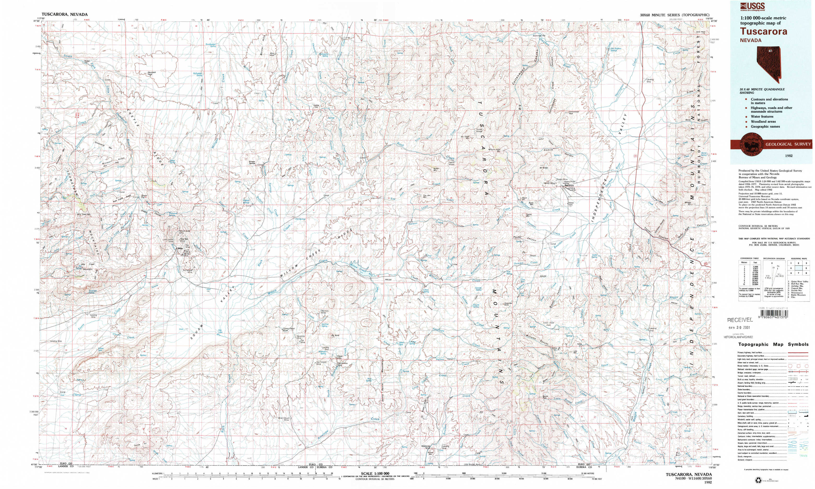
Tuscarora Topo Map Nevada
To zoom in, hover over the map of Tuscarora
USGS Topo Map 41116a1 - 1:100,000 scale
| Topo Map Name: | Tuscarora |
| USGS Topo Quad ID: | 41116a1 |
| Print Size: | ca. 39" wide x 24" high |
| Southeast Coordinates: | 41° N latitude / 116° W longitude |
| Map Center Coordinates: | 41.25° N latitude / 116.5° W longitude |
| U.S. State: | NV |
| Filename: | 41116a1.jpg |
| Download Map JPG Image: | Tuscarora topo map 1:100,000 scale |
| Map Type: | Topographic |
| Topo Series: | 30´x60´ |
| Map Scale: | 1:100,000 |
| Source of Map Images: | United States Geological Survey (USGS) |
| Alternate Map Versions: |
Tuscarora NV 1982, updated 1983 Download PDF Buy paper map |
1:100,000 Topos surrounding Tuscarora
Quinn River Valley |
Bull Run Mountains |
Jarbidge Mountains |
Osgood Mountains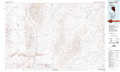 |
Tuscarora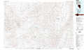 |
Double Mountain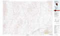 |
Winnemucca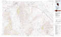 |
Battle Mountain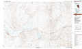 |
Elko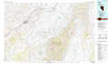 |
> Back to 41116a1 at 1:250,000 scale
> Back to U.S. Topo Maps home
1:24,000 Topo Quads covered by the spatial extent of this 100k map (Tuscarora)
|
Rodear Flat 
|
Haystack Peak 
|
Burner Hills 
|
Soldier Cap 
|
Red Cow Creek 
|
Big Cottonwood Canyon 
|
Cottonwood Peak 
|
Jacks Peak 
|
|
Snowstorm Mountain 
|
Oregon Canyon 
|
Scraper Springs 
|
Little Rock Creek 
|
Toe Jam Mountain 
|
Mount Blitzen 
|
Tuscarora 
|
Water Pipe Canyon 
|
|
Jake Creek Mountain 
|
Midas 
|
Squaw Valley Ranch 
|
Willow Creek Reservoir 
|
China Camp 
|
Sugarloaf Butte 
|
Lake Mountain 
|
Stampede Ranch 
|
|
Midas Sw 
|
Sixmile Hill 
|
Rock Creek Ranch 
|
Willow Cr Reservoir Se 
|
Santa Renia Fields 
|
Beaver Peak 
|
Beaver Creek 
|
Blue Basin 
|