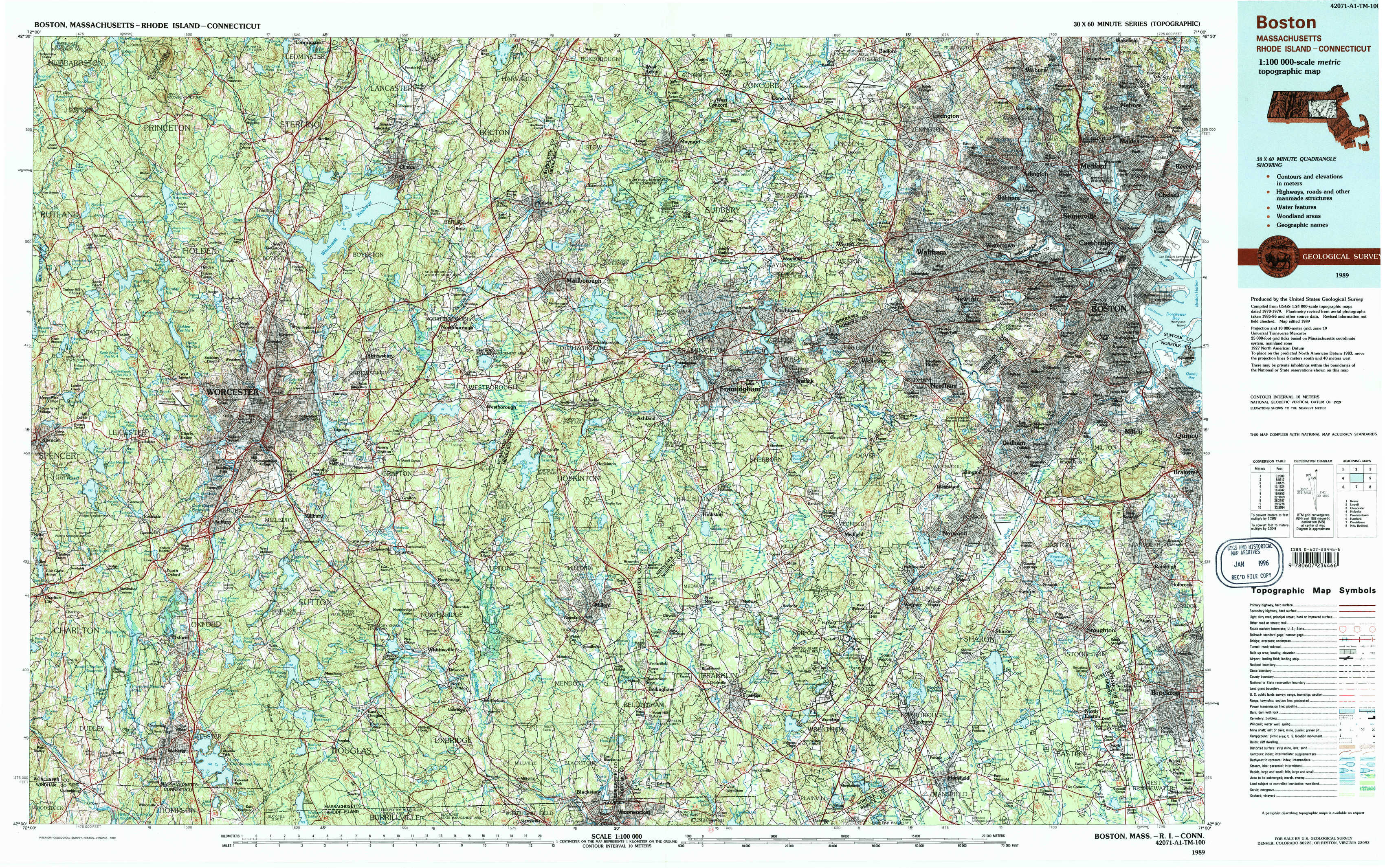
Boston Topo Map Massachusetts
To zoom in, hover over the map of Boston
USGS Topo Map 42071a1 - 1:100,000 scale
| Topo Map Name: | Boston |
| USGS Topo Quad ID: | 42071a1 |
| Print Size: | ca. 39" wide x 24" high |
| Southeast Coordinates: | 42° N latitude / 71° W longitude |
| Map Center Coordinates: | 42.25° N latitude / 71.5° W longitude |
| U.S. States: | MA, RI, CT |
| Filename: | 42071a1.jpg |
| Download Map JPG Image: | Boston topo map 1:100,000 scale |
| Map Type: | Topographic |
| Topo Series: | 30´x60´ |
| Map Scale: | 1:100,000 |
| Source of Map Images: | United States Geological Survey (USGS) |
| Alternate Map Versions: |
Boston MA 1985, updated 1986 Download PDF Buy paper map Boston MA 1989, updated 1989 Download PDF Buy paper map Boston MA 1989, updated 1989 Download PDF Buy paper map |
1:100,000 Topos surrounding Boston
Keene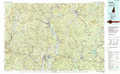 |
Lowell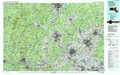 |
Gloucester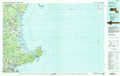 |
Holyoke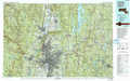 |
Boston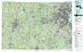 |
Provincetown |
Hartford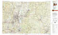 |
Providence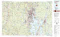 |
New Bedford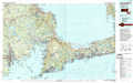 |
> Back to 42070a1 at 1:250,000 scale
> Back to U.S. Topo Maps home
1:24,000 Topo Quads covered by the spatial extent of this 100k map (Boston)
|
Sterling 
|
Hudson 
|
Concord 
|
Boston North 
|
||||
|
Worcester North 
|
Marlborough 
|
Natick 
|
Boston South 
|
||||
|
Worcester South 
|
Milford 
|
Medfield 
|
Blue Hills 
|
||||
|
Oxford 
|
Blackstone 
|
Wrentham 
|
Brockton 
|