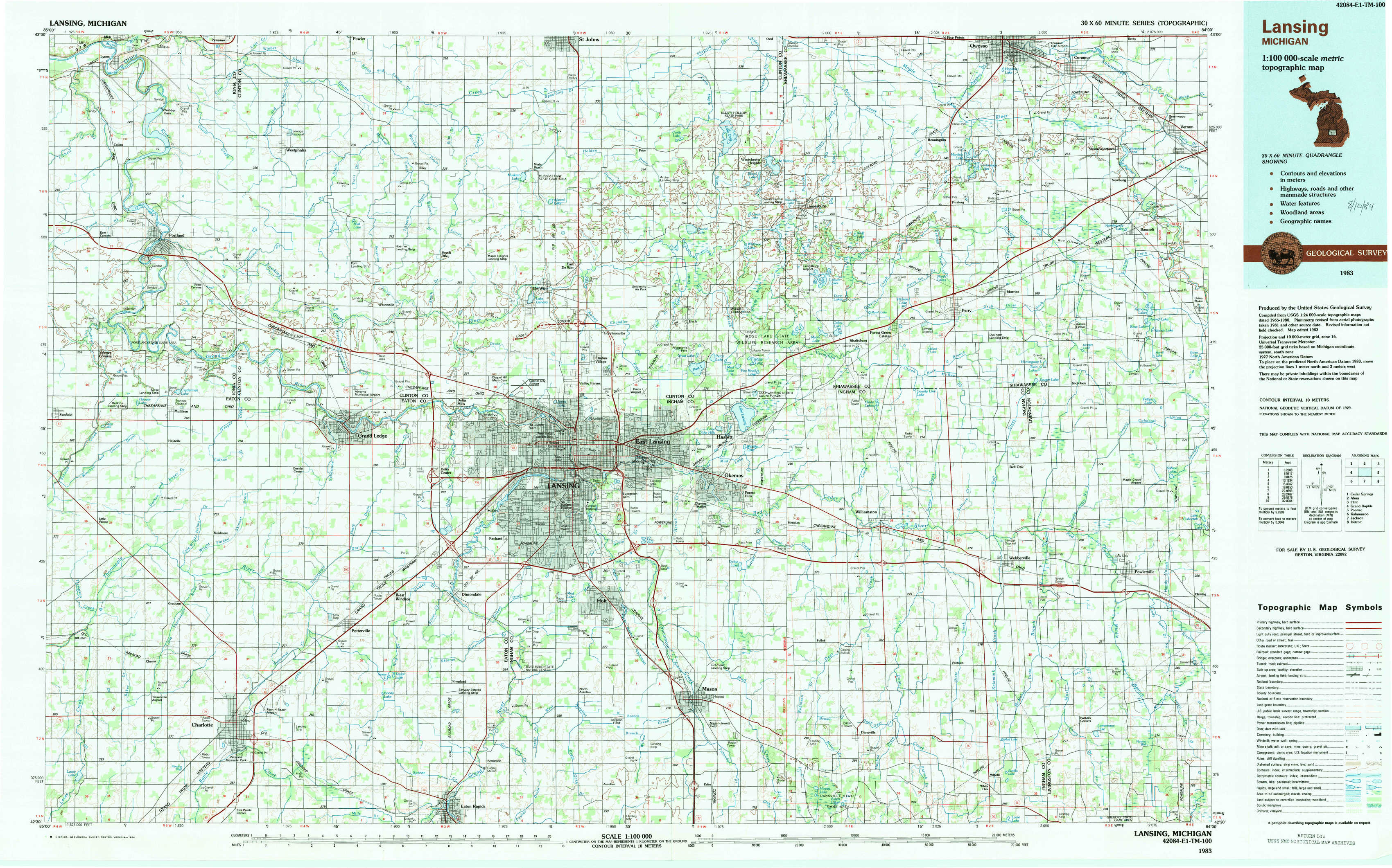
Lansing Topo Map Michigan
To zoom in, hover over the map of Lansing
USGS Topo Map 42084e1 - 1:100,000 scale
| Topo Map Name: | Lansing |
| USGS Topo Quad ID: | 42084e1 |
| Print Size: | ca. 39" wide x 24" high |
| Southeast Coordinates: | 42.5° N latitude / 84° W longitude |
| Map Center Coordinates: | 42.75° N latitude / 84.5° W longitude |
| U.S. State: | MI |
| Filename: | 42084e1.jpg |
| Download Map JPG Image: | Lansing topo map 1:100,000 scale |
| Map Type: | Topographic |
| Topo Series: | 30´x60´ |
| Map Scale: | 1:100,000 |
| Source of Map Images: | United States Geological Survey (USGS) |
| Alternate Map Versions: |
Lansing MI 1983, updated 1984 Download PDF Buy paper map |
1:100,000 Topos surrounding Lansing
Cedar Springs |
Alma |
Flint |
Grand Rapids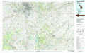 |
Lansing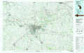 |
Pontiac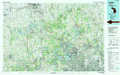 |
Kalamazoo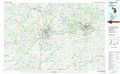 |
Jackson |
Detroit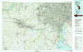 |
> Back to 42084a1 at 1:250,000 scale
> Back to U.S. Topo Maps home
1:24,000 Topo Quads covered by the spatial extent of this 100k map (Lansing)
|
Portland North 
|
Wasphalia 
|
Riley 
|
Saint Johns South 
|
Price 
|
Laingsburg 
|
Owosso South 
|
Corunna 
|
|
Portland South 
|
Eagle 
|
Wacousta 
|
Lansing North 
|
Bath 
|
Shaftsburg 
|
Perry 
|
Corunna Se 
|
|
Hoytville 
|
Needmore 
|
Dimondale 
|
Lansing South 
|
East Lansing 
|
Williamston 
|
Webberville 
|
Fowlerville 
|
|
Chester 
|
Charlotte 
|
Eaton Rapids 
|
Aurelius 
|
Mason 
|
Dansville 
|
Millville 
|
Parkers Corners 
|