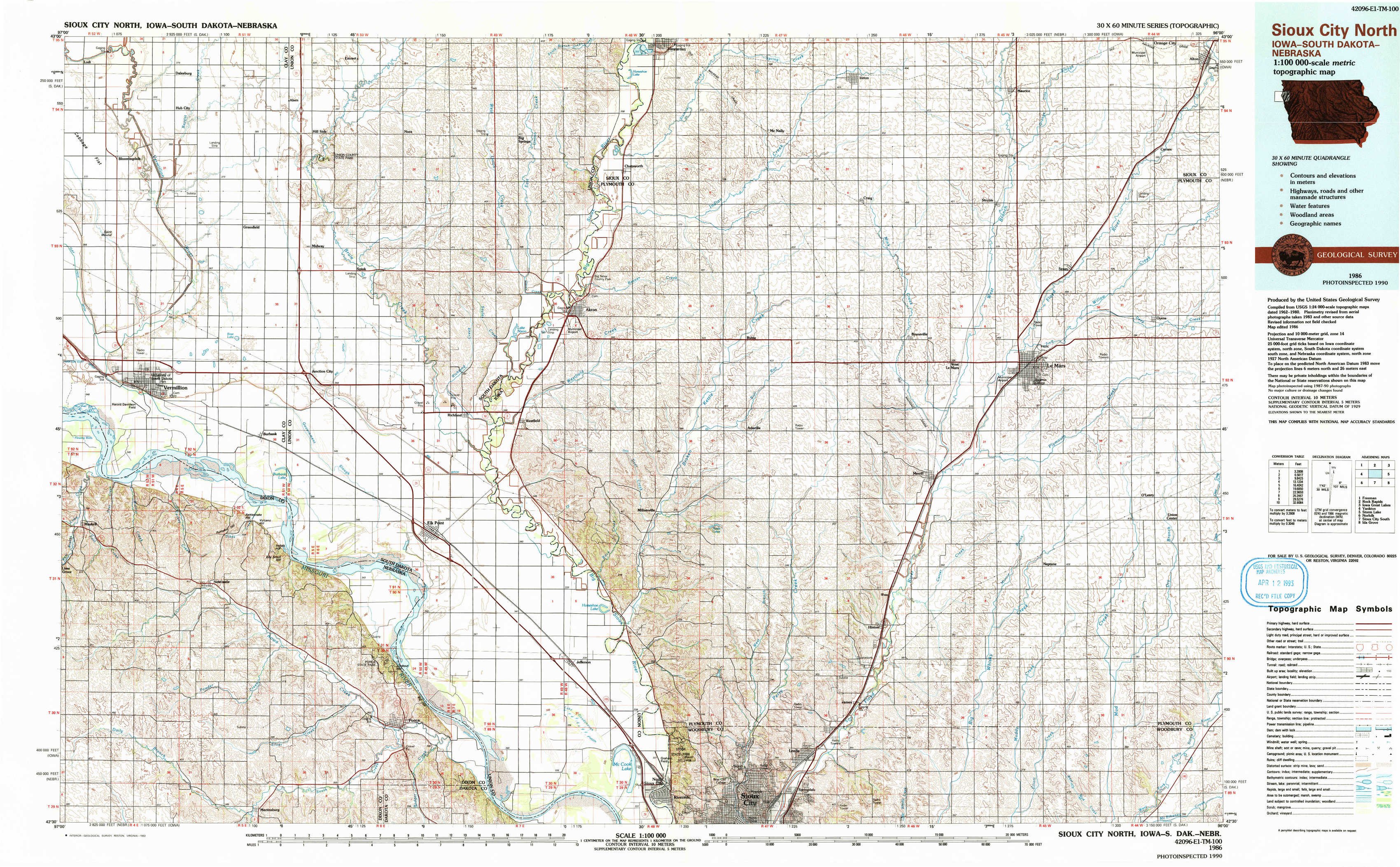
Sioux City North Topo Map Iowa
To zoom in, hover over the map of Sioux City North
USGS Topo Map 42096e1 - 1:100,000 scale
| Topo Map Name: | Sioux City North |
| USGS Topo Quad ID: | 42096e1 |
| Print Size: | ca. 39" wide x 24" high |
| Southeast Coordinates: | 42.5° N latitude / 96° W longitude |
| Map Center Coordinates: | 42.75° N latitude / 96.5° W longitude |
| U.S. States: | IA, SD, NE |
| Filename: | 42096e1.jpg |
| Download Map JPG Image: | Sioux City North topo map 1:100,000 scale |
| Map Type: | Topographic |
| Topo Series: | 30´x60´ |
| Map Scale: | 1:100,000 |
| Source of Map Images: | United States Geological Survey (USGS) |
| Alternate Map Versions: |
Sioux City North IA 1986, updated 1986 Download PDF Buy paper map Sioux City North IA 1986, updated 1992 Download PDF Buy paper map |
1:100,000 Topos surrounding Sioux City North
Freeman |
Rock Rapids |
Iowa Great Lakes |
Yankton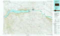 |
Sioux City North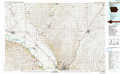 |
Storm Lake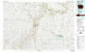 |
Norfolk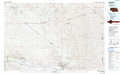 |
Sioux City South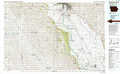 |
Ida Grove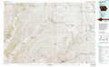 |
> Back to 42096a1 at 1:250,000 scale
> Back to U.S. Topo Maps home
1:24,000 Topo Quads covered by the spatial extent of this 100k map (Sioux City North)
|
Hub City 
|
Alsen 
|
Nora 
|
Chatsworth 
|
Hawarden South 
|
Ireton 
|
Maurice 
|
Alton 
|
|
Vermillon 
|
Vermillon Se 
|
Richland 
|
Akron 
|
Ireton Sw 
|
Brunsville 
|
Le Mars 
|
Oyens 
|
|
Maskell 
|
Burbank 
|
Elk Point 
|
Elk Point Ne 
|
Millnerville 
|
Hinton 
|
Union Center Nw 
|
Union Center 
|
|
Martinsburg Sw 
|
Martinsburg 
|
Ponca 
|
Jefferson 
|
Sioux City North 
|
James 
|
Union Center Sw 
|
Union Center Se 
|