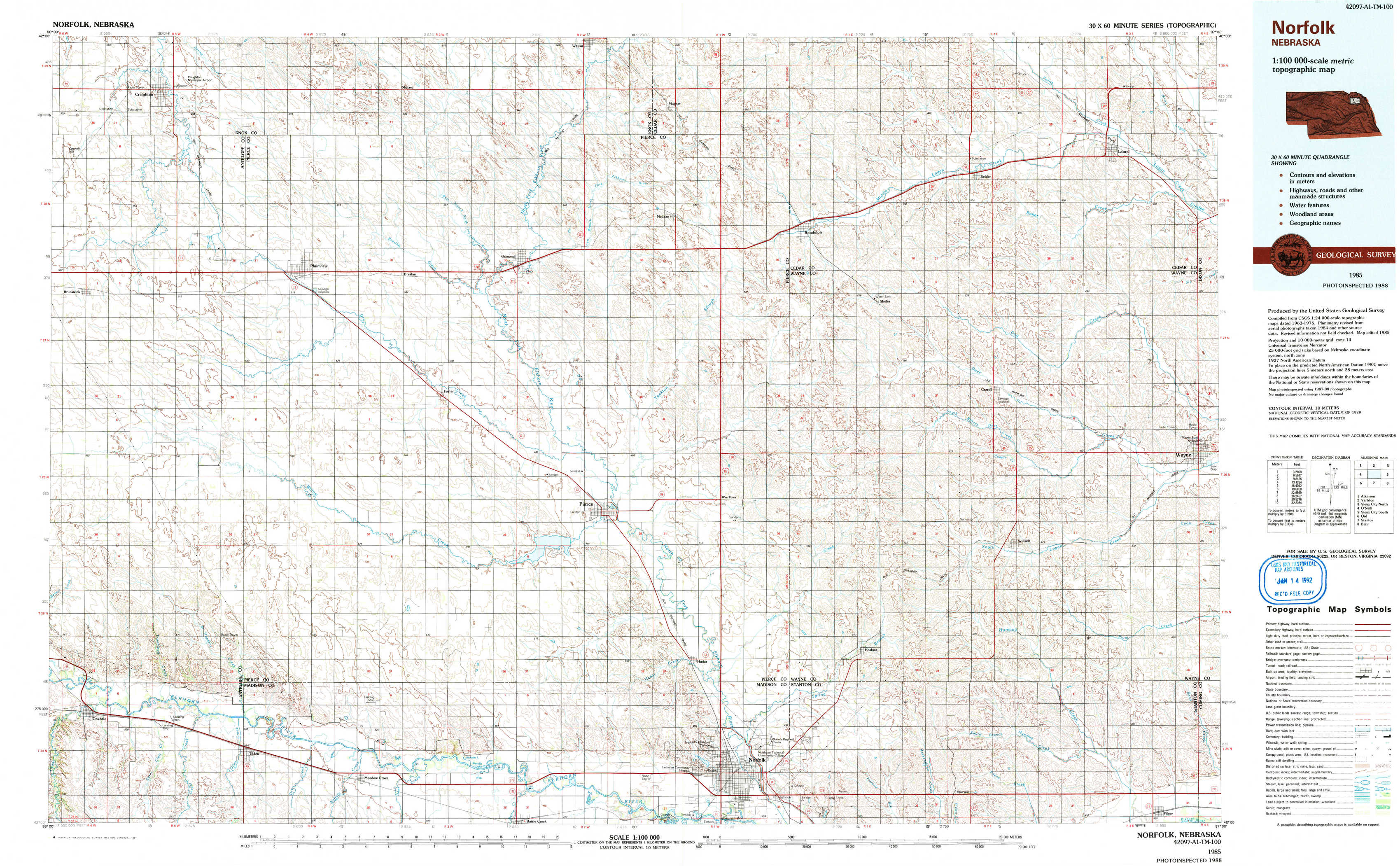
Norfolk Topo Map Nebraska
To zoom in, hover over the map of Norfolk
USGS Topo Map 42097a1 - 1:100,000 scale
| Topo Map Name: | Norfolk |
| USGS Topo Quad ID: | 42097a1 |
| Print Size: | ca. 39" wide x 24" high |
| Southeast Coordinates: | 42° N latitude / 97° W longitude |
| Map Center Coordinates: | 42.25° N latitude / 97.5° W longitude |
| U.S. State: | NE |
| Filename: | 42097a1.jpg |
| Download Map JPG Image: | Norfolk topo map 1:100,000 scale |
| Map Type: | Topographic |
| Topo Series: | 30´x60´ |
| Map Scale: | 1:100,000 |
| Source of Map Images: | United States Geological Survey (USGS) |
| Alternate Map Versions: |
Norfolk NE 1985, updated 1991 Download PDF Buy paper map |
1:100,000 Topos surrounding Norfolk
Atkinson |
Yankton |
Sioux City North |
O'Neill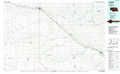 |
Norfolk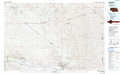 |
Sioux City South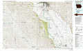 |
Ord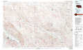 |
Stanton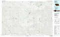 |
Blair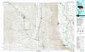 |
> Back to 42096a1 at 1:250,000 scale
> Back to U.S. Topo Maps home
1:24,000 Topo Quads covered by the spatial extent of this 100k map (Norfolk)
|
Creighton 
|
Plainview Ne 
|
Midland 
|
Wausa 
|
Magnet 
|
Randolph North 
|
Belden 
|
Laurel 
|
|
Brunswick 
|
Plainview 
|
Foster 
|
Osmond 
|
Randolph Sw 
|
Randolph South 
|
Carroll 
|
Laurel Se 
|
|
Tilden Nw 
|
Tilden Ne 
|
Pierce Nw 
|
Pierce 
|
Wee Town 
|
Norfolk Ne 
|
Winside 
|
Wayne 
|
|
Oakdale 
|
Tilden 
|
Meadow Grove 
|
Pierce Se 
|
Norfolk 
|
Hoskins 
|
Wayne Sw 
|
Pilger 
|