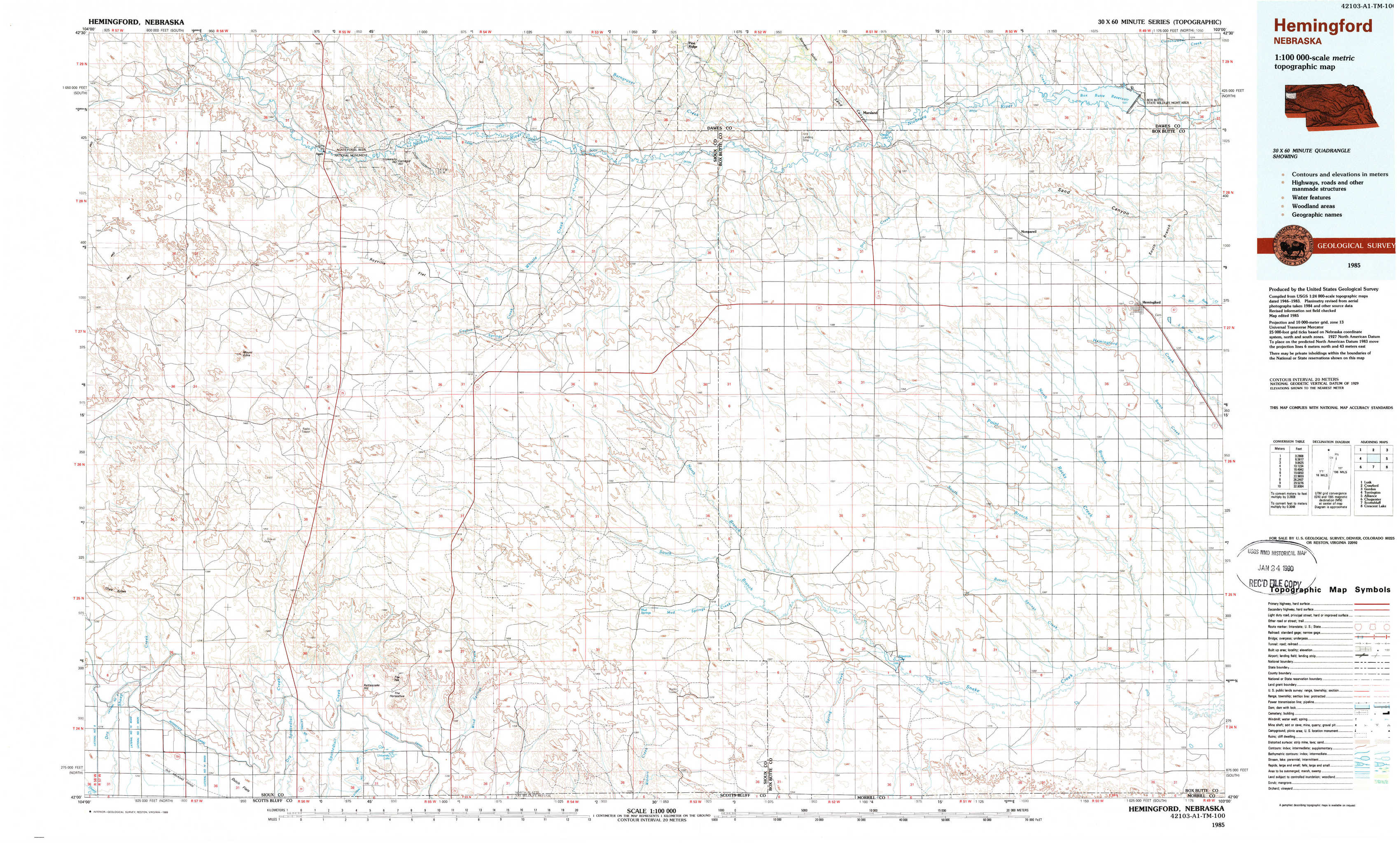
Hemingford Topo Map Nebraska
To zoom in, hover over the map of Hemingford
USGS Topo Map 42103a1 - 1:100,000 scale
| Topo Map Name: | Hemingford |
| USGS Topo Quad ID: | 42103a1 |
| Print Size: | ca. 39" wide x 24" high |
| Southeast Coordinates: | 42° N latitude / 103° W longitude |
| Map Center Coordinates: | 42.25° N latitude / 103.5° W longitude |
| U.S. State: | NE |
| Filename: | 42103a1.jpg |
| Download Map JPG Image: | Hemingford topo map 1:100,000 scale |
| Map Type: | Topographic |
| Topo Series: | 30´x60´ |
| Map Scale: | 1:100,000 |
| Source of Map Images: | United States Geological Survey (USGS) |
| Alternate Map Versions: |
Hemingford NE 1985, updated 1986 Download PDF Buy paper map Hemingford NE 1985, updated 1989 Download PDF Buy paper map |
1:100,000 Topos surrounding Hemingford
Lusk |
Crawford |
Gordon |
Torrington |
Hemingford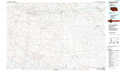 |
Alliance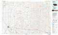 |
Chugwater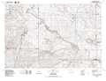 |
Scottsbluff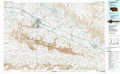 |
Crescent Lake |
> Back to 42102a1 at 1:250,000 scale
> Back to U.S. Topo Maps home
1:24,000 Topo Quads covered by the spatial extent of this 100k map (Hemingford)
|
Agate Nw 
|
Agate 
|
Whistle Creek Nw 
|
Whistle Creek Ne 
|
Marsland Nw 
|
Marsland Ne 
|
Box Butte Reservoir West 
|
Box Butte Reservoir East 
|
|
Agate Sw 
|
Mount Edna 
|
Whistle Creek Sw 
|
Whistle Creek Se 
|
Marsland Sw 
|
Marsland Se 
|
Nonpareil 
|
Hemingford 
|
|
Chalk Buttes 
|
Chalk Buttes Ne 
|
University Lake Nw 
|
University Lake Ne 
|
Kilpatrick Lake Nw 
|
Kilpatrick Lake Ne 
|
Hemingford 4 Nw 
|
Hemingford 4 Ne 
|
|
Dry Sheep Creek 
|
Erdman Ranch 
|
University Lake 
|
University Lake Se 
|
Kilpatrick Lake Sw 
|
Kilpatrick Lake 
|
Hemingford 4 Sw 
|
Hemingford 4 Se 
|