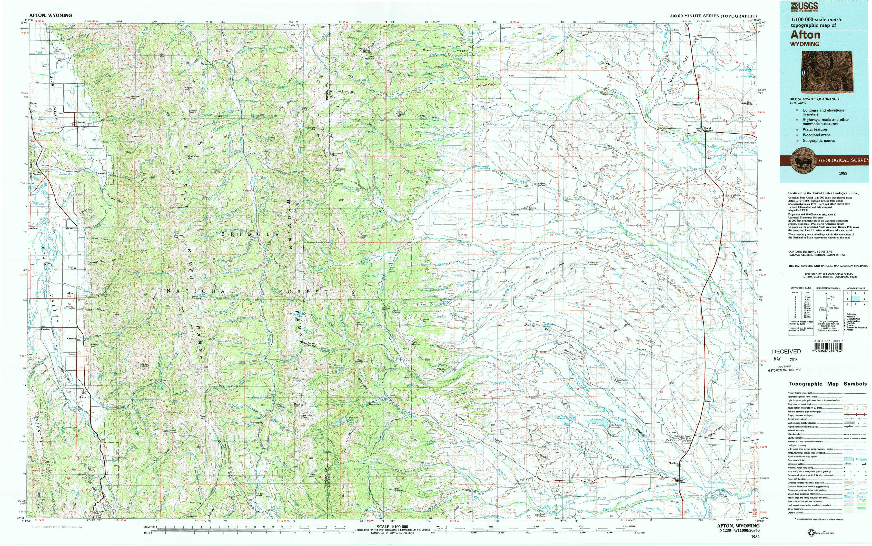
Afton Topo Map Wyoming
To zoom in, hover over the map of Afton
USGS Topo Map 42110e1 - 1:100,000 scale
| Topo Map Name: | Afton |
| USGS Topo Quad ID: | 42110e1 |
| Print Size: | ca. 39" wide x 24" high |
| Southeast Coordinates: | 42.5° N latitude / 110° W longitude |
| Map Center Coordinates: | 42.75° N latitude / 110.5° W longitude |
| U.S. State: | WY |
| Filename: | 42110e1.jpg |
| Download Map JPG Image: | Afton topo map 1:100,000 scale |
| Map Type: | Topographic |
| Topo Series: | 30´x60´ |
| Map Scale: | 1:100,000 |
| Source of Map Images: | United States Geological Survey (USGS) |
| Alternate Map Versions: |
Afton WY 1982, updated 1982 Download PDF Buy paper map |
1:100,000 Topos surrounding Afton
Palisades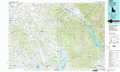 |
Jackson |
Gannett Peak |
Soda Springs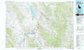 |
Afton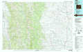 |
Pinedale |
Preston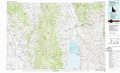 |
Fontenelle Reservoir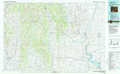 |
Farson |
> Back to 42110a1 at 1:250,000 scale
> Back to U.S. Topo Maps home
1:24,000 Topo Quads covered by the spatial extent of this 100k map (Afton)
|
Thayne East 
|
Man Peak 
|
Blind Bull Creek 
|
Lookout Mountain 
|
Prospect Peak 
|
Merna Butte 
|
Webb Draw 
|
Daniel Junction 
|
|
Grover 
|
Rock Lake Peak 
|
Park Creek 
|
Triple Peak 
|
Maki Creek 
|
Halfway 
|
Onion Springs 
|
Daniel 
|
|
Afton 
|
Red Top Mountain 
|
Box Canyon Creek 
|
Mount Schidler 
|
Red Castle Creek 
|
Meadow Canyon 
|
Budd Reservoir 
|
Ball Island 
|
|
Smoot 
|
Mount Wagner 
|
Poison Meadows 
|
Wyoming Peak 
|
Springman Creek 
|
Deer Hill 
|
Big Piney West 
|
Big Piney East 
|