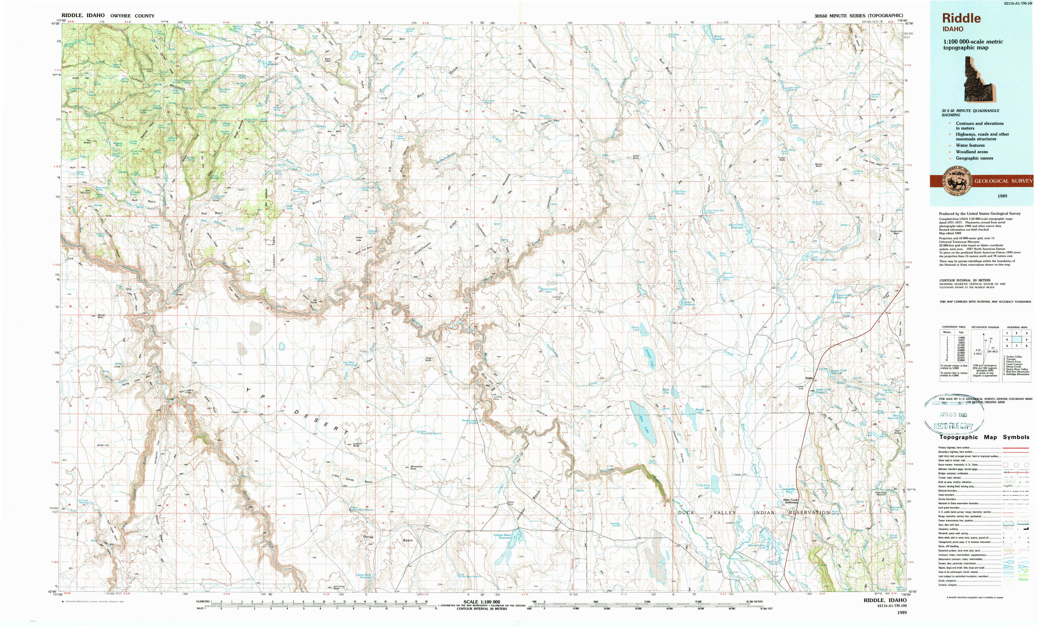
Riddle Topo Map Idaho
To zoom in, hover over the map of Riddle
USGS Topo Map 42116a1 - 1:100,000 scale
| Topo Map Name: | Riddle |
| USGS Topo Quad ID: | 42116a1 |
| Print Size: | ca. 39" wide x 24" high |
| Southeast Coordinates: | 42° N latitude / 116° W longitude |
| Map Center Coordinates: | 42.25° N latitude / 116.5° W longitude |
| U.S. State: | ID |
| Filename: | 42116a1.jpg |
| Download Map JPG Image: | Riddle topo map 1:100,000 scale |
| Map Type: | Topographic |
| Topo Series: | 30´x60´ |
| Map Scale: | 1:100,000 |
| Source of Map Images: | United States Geological Survey (USGS) |
| Alternate Map Versions: |
Riddle ID 1989, updated 1990 Download PDF Buy paper map |
1:100,000 Topos surrounding Riddle
Jordan Valley |
Triangle |
Glenns Ferry |
Louse Canyon |
Riddle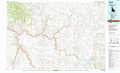 |
Sheep Creek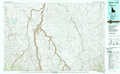 |
Quinn River Valley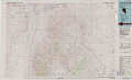 |
Bull Run Mountains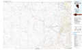 |
Jarbidge Mountains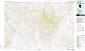 |
> Back to 42116a1 at 1:250,000 scale
> Back to U.S. Topo Maps home
1:24,000 Topo Quads covered by the spatial extent of this 100k map (Riddle)
|
Bedstead Ridge 
|
Smith Creek 
|
Castro Table 
|
Dickshooter Reservoir 
|
Frying Pan Basin 
|
Lost Valley 
|
Turner Table 
|
Wickahoney Point 
|
|
Bull Basin Camp 
|
Red Basin 
|
Brace Flat 
|
Dickshooter Ridge 
|
Battle Creek Lakes 
|
Shoofly Springs 
|
Nichol Flat 
|
Little Blue Table 
|
|
Spring Creek Basin 
|
Grassy Ridge 
|
Piute Basin West 
|
Piute Basin East 
|
Jarvis Pasture 
|
Ross Lake 
|
Flying H Ranch 
|
Riddle 
|
|
Star Valley 
|
Coyote Hole 
|
Bull Camp Butte 
|
Four Corners 
|
Juniper Basin 
|
Juniper Basin Se 
|
Mountain View Lake 
|
Three Forks 
|