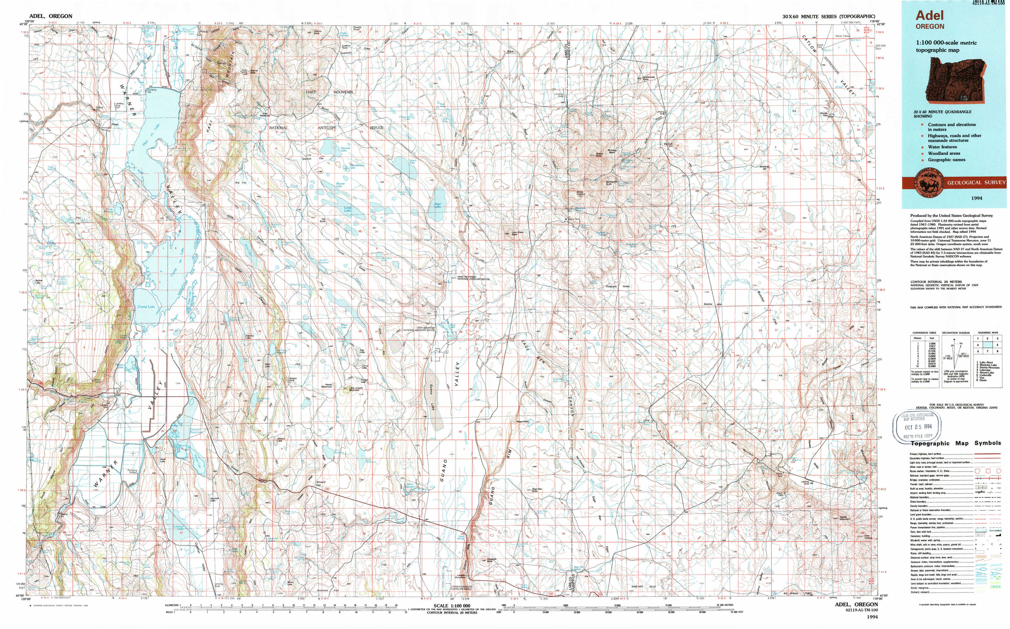
Adel Topo Map Oregon
To zoom in, hover over the map of Adel
USGS Topo Map 42119a1 - 1:100,000 scale
| Topo Map Name: | Adel |
| USGS Topo Quad ID: | 42119a1 |
| Print Size: | ca. 39" wide x 24" high |
| Southeast Coordinates: | 42° N latitude / 119° W longitude |
| Map Center Coordinates: | 42.25° N latitude / 119.5° W longitude |
| U.S. State: | OR |
| Filename: | 42119a1.jpg |
| Download Map JPG Image: | Adel topo map 1:100,000 scale |
| Map Type: | Topographic |
| Topo Series: | 30´x60´ |
| Map Scale: | 1:100,000 |
| Source of Map Images: | United States Geological Survey (USGS) |
| Alternate Map Versions: |
Adel OR 1994, updated 1994 Download PDF Buy paper map |
1:100,000 Topos surrounding Adel
Lake Abert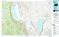 |
Bluejoint Lake |
Steens Mountain |
Lakeview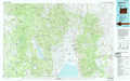 |
Adel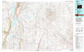 |
Alvord Lake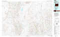 |
Cedarville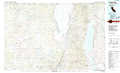 |
Vya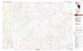 |
Denio |
> Back to 42118a1 at 1:250,000 scale
> Back to U.S. Topo Maps home
1:24,000 Topo Quads covered by the spatial extent of this 100k map (Adel)
|
Plush 
|
Hart Lake 
|
Warner Peak 
|
Swede Knoll 
|
Beatys Butte Nw 
|
Beatys Butte 
|
Fish Fin Rim 
|
Coyote Gap 
|
|
Priday Reservoir 
|
Crump Lake 
|
Jacobs Reservoir 
|
Alger Lake 
|
Lone Grave Butte 
|
Mahogany Butte 
|
Surveyors Lake 
|
Coyote Gap Se 
|
|
Adel 
|
Calderwood Reservoir 
|
Mud Lake Reservoir 
|
Guano Lake 
|
Rocky Canyon 
|
Chimney Rock 
|
Acty Mountain Nw 
|
Acty Mountain Ne 
|
|
May Lake 
|
Coleman Lake 
|
Blizzard Gap 
|
Piute Reservoir 
|
Antelope Butte 
|
Sage Hen Flats 
|
Acty Mountain 
|
Hawks Mountain 
|