Bay City Topo Map Michigan
To zoom in, hover over the map of Bay City
USGS Topo Map 43083e1 - 1:100,000 scale
| Topo Map Name: | Bay City |
| USGS Topo Quad ID: | 43083e1 |
| Print Size: | ca. 39" wide x 24" high |
| Southeast Coordinates: | 43.5° N latitude / 83° W longitude |
| Map Center Coordinates: | 43.75° N latitude / 83.5° W longitude |
| U.S. State: | MI |
| Filename: | 43083e1.jpg |
| Download Map JPG Image: | Bay City topo map 1:100,000 scale |
| Map Type: | Topographic |
| Topo Series: | 30´x60´ |
| Map Scale: | 1:100,000 |
| Source of Map Images: | United States Geological Survey (USGS) |
| Alternate Map Versions: |
Bay City MI 1984, updated 1985 Download PDF Buy paper map |
1:100,000 Topos surrounding Bay City
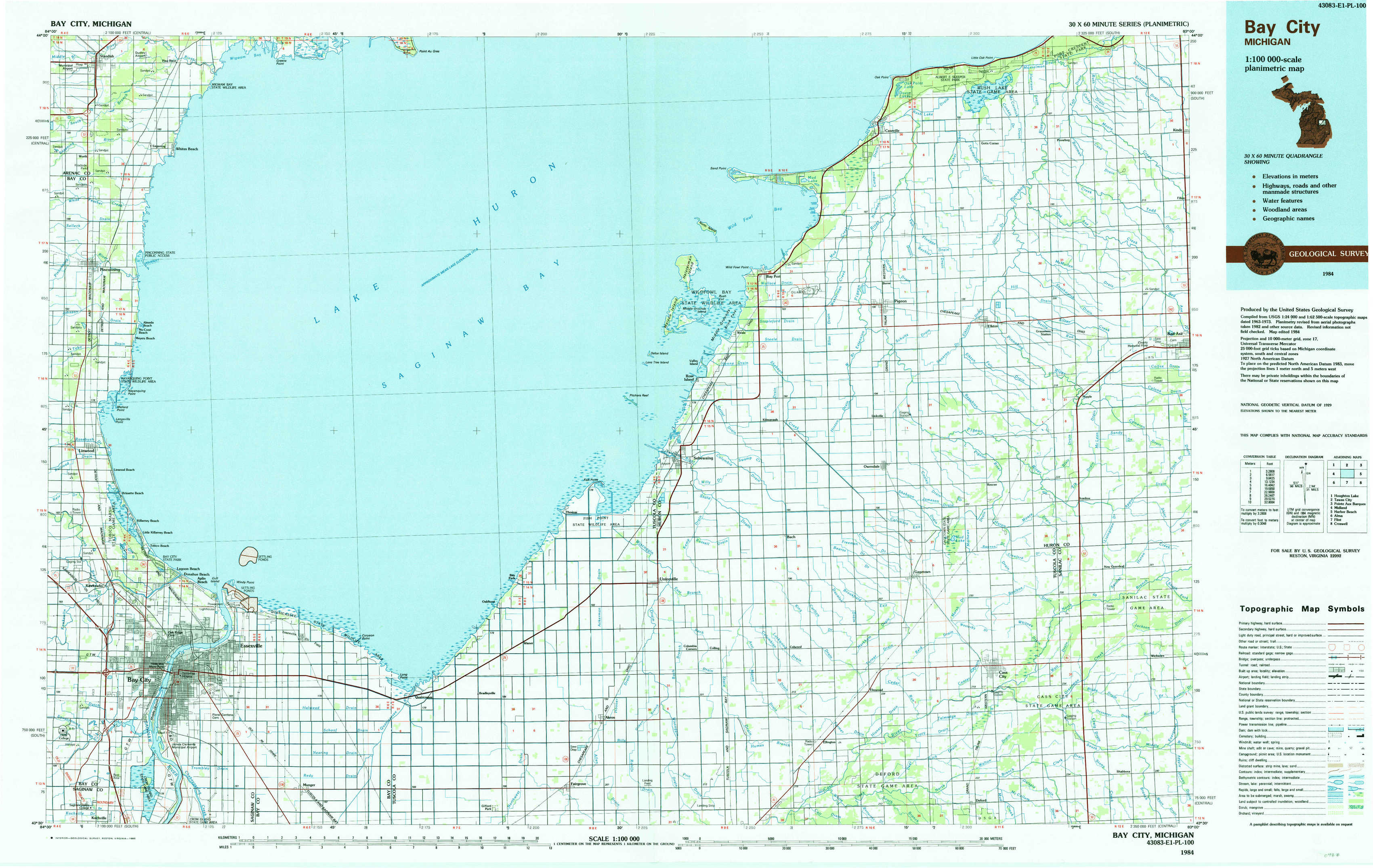
Houghton Lake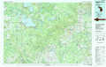 |
Tawas City |
Pointe Aux Barques |
Midland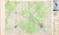 |
Bay City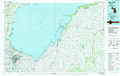 |
Harbor Beach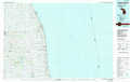 |
Alma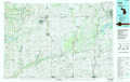 |
Flint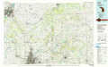 |
Croswell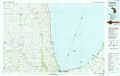 |
> Back to 43082a1 at 1:250,000 scale
> Back to U.S. Topo Maps home
1:24,000 Topo Quads covered by the spatial extent of this 100k map (Bay City)
|
Standish 
|
Standish Ne 
|
Au Gres 
|
Sand Point 
|
Caseville 
|
Rush Lake 
|
Kinde West 
|
|
|
Pinconning 
|
Bay Port West 
|
Bay Port East 
|
Elkton 
|
Bad Axe West 
|
|||
|
Kawkawlin 
|
Bay City Ne 
|
Fish Point 
|
Sebewaing 
|
Owendale 
|
Gagetown 
|
New Greenleaf 
|
|
|
Bay City 
|
Essexville 
|
Quanicassee 
|
Fairgrove 
|
Colling 
|
Ellington 
|
Cass City 
|
Shabbona 
|