Ludington Topo Map Michigan
To zoom in, hover over the map of Ludington
USGS Topo Map 43086e1 - 1:100,000 scale
| Topo Map Name: | Ludington |
| USGS Topo Quad ID: | 43086e1 |
| Print Size: | ca. 39" wide x 24" high |
| Southeast Coordinates: | 43.5° N latitude / 86° W longitude |
| Map Center Coordinates: | 43.75° N latitude / 86.5° W longitude |
| U.S. State: | MI |
| Filename: | 43086e1.jpg |
| Download Map JPG Image: | Ludington topo map 1:100,000 scale |
| Map Type: | Topographic |
| Topo Series: | 30´x60´ |
| Map Scale: | 1:100,000 |
| Source of Map Images: | United States Geological Survey (USGS) |
| Alternate Map Versions: |
Ludington MI 1983, updated 1984 Download PDF Buy paper map |
1:100,000 Topos surrounding Ludington
Manitowoc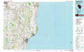 |
Manistee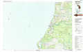 |
Cadillac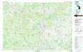 |
Sheboygan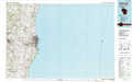 |
Ludington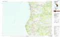 |
Big Rapids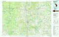 |
Milwaukee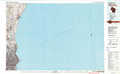 |
Muskegon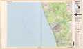 |
Cedar Springs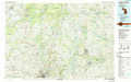 |
> Back to 43086a1 at 1:250,000 scale
> Back to U.S. Topo Maps home
1:24,000 Topo Quads covered by the spatial extent of this 100k map (Ludington)
|
Ludington Nw 
|
Ludington Ne 
|
Custer Nw 
|
Custer Ne 
|
||||
|
Pentwater 
|
Wiley 
|
Custer Sw 
|
Custer Se 
|
||||
|
Little Point Sable 
|
Mears 
|
Hart Ne 
|
Walkerville West 
|
Walkerville East 
|
|||
|
Bigsbie Lake 
|
Town Corners 
|
Shelby 
|
Ferry 
|
Hesperia 
|
