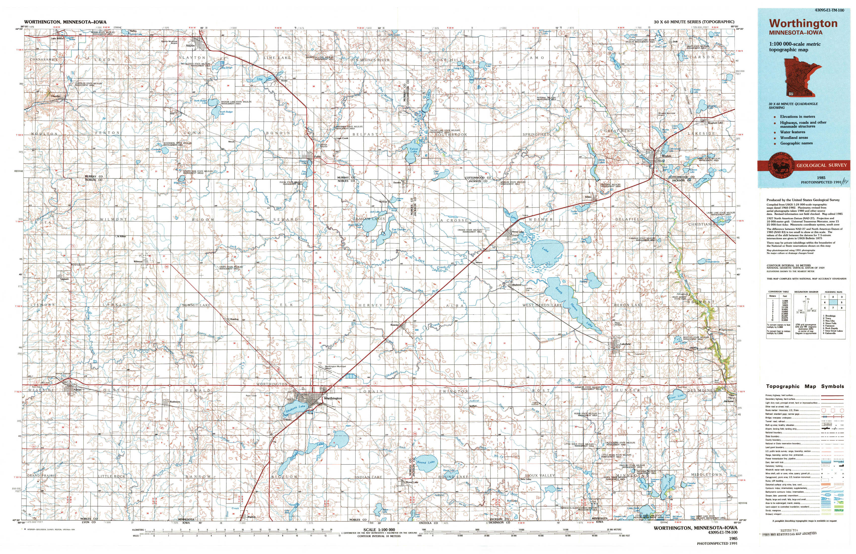
Worthington Topo Map Minnesota
To zoom in, hover over the map of Worthington
USGS Topo Map 43095e1 - 1:100,000 scale
| Topo Map Name: | Worthington |
| USGS Topo Quad ID: | 43095e1 |
| Print Size: | ca. 39" wide x 24" high |
| Southeast Coordinates: | 43.5° N latitude / 95° W longitude |
| Map Center Coordinates: | 43.75° N latitude / 95.5° W longitude |
| U.S. States: | MN, IA |
| Filename: | 43095e1.jpg |
| Download Map JPG Image: | Worthington topo map 1:100,000 scale |
| Map Type: | Topographic |
| Topo Series: | 30´x60´ |
| Map Scale: | 1:100,000 |
| Source of Map Images: | United States Geological Survey (USGS) |
| Alternate Map Versions: |
Worthington MN 1985, updated 1994 Download PDF Buy paper map |
1:100,000 Topos surrounding Worthington
Brookings |
Tracy |
New Ulm |
Sioux Falls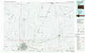 |
Worthington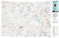 |
Fairmont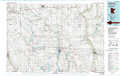 |
Rock Rapids |
Iowa Great Lakes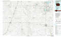 |
Estherville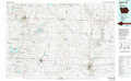 |
> Back to 43094a1 at 1:250,000 scale
> Back to U.S. Topo Maps home
1:24,000 Topo Quads covered by the spatial extent of this 100k map (Worthington)
|
Chandler 
|
Slayton 
|
Avoca 
|
Lime Creek 
|
Heron Lake Nw 
|
Heron Lake Ne 
|
Harder Lake 
|
Bingham Lake 
|
|
Slayton Sw 
|
Wilmont 
|
Fulda Sw 
|
Fulda 
|
Dundee 
|
Heron Lake 
|
Wilder 
|
Windom 
|
|
Adrian 
|
Adrian Ne 
|
Reading 
|
Worthington North 
|
Brewster 
|
Okabena 
|
Lakefield 
|
Lakefield Ne 
|
|
Adrian Sw 
|
Rushmore 
|
Bigelow 
|
Worthington South 
|
Round Lake 
|
Sioux Valley 
|
Lakefield Sw 
|
Lakefield Se 
|