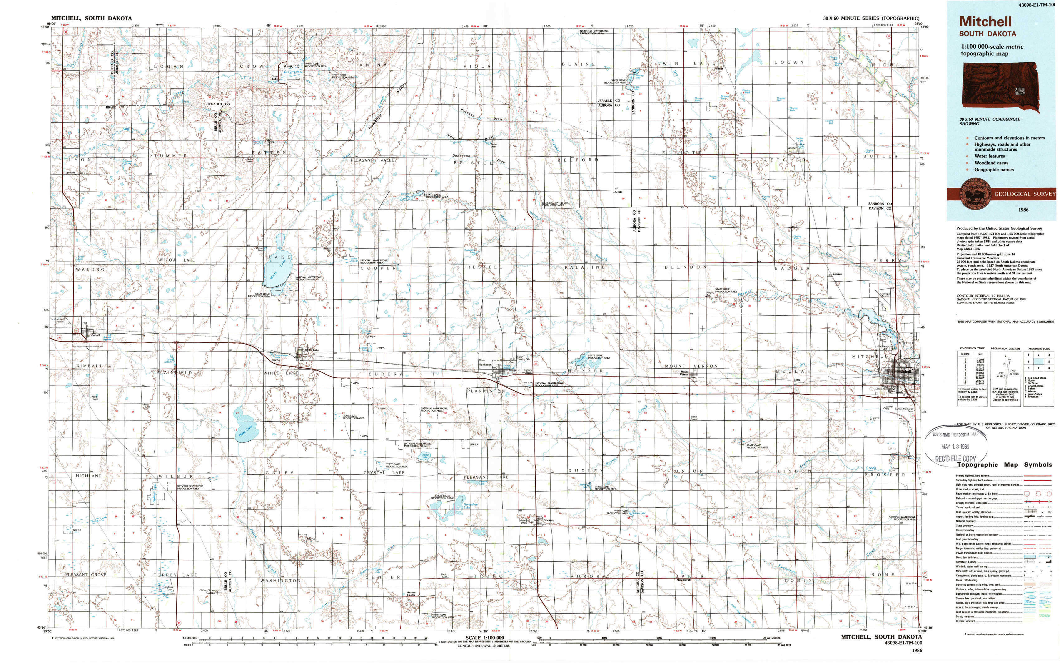
Mitchell Topo Map South Dakota
To zoom in, hover over the map of Mitchell
USGS Topo Map 43098e1 - 1:100,000 scale
| Topo Map Name: | Mitchell |
| USGS Topo Quad ID: | 43098e1 |
| Print Size: | ca. 39" wide x 24" high |
| Southeast Coordinates: | 43.5° N latitude / 98° W longitude |
| Map Center Coordinates: | 43.75° N latitude / 98.5° W longitude |
| U.S. State: | SD |
| Filename: | 43098e1.jpg |
| Download Map JPG Image: | Mitchell topo map 1:100,000 scale |
| Map Type: | Topographic |
| Topo Series: | 30´x60´ |
| Map Scale: | 1:100,000 |
| Source of Map Images: | United States Geological Survey (USGS) |
| Alternate Map Versions: |
Mitchell SD 1986, updated 1986 Download PDF Buy paper map Mitchell SD 1986, updated 1989 Download PDF Buy paper map |
1:100,000 Topos surrounding Mitchell
Big Bend Dam |
Huron |
De Smet |
Chamberlain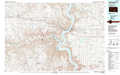 |
Mitchell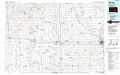 |
Salem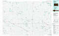 |
Winner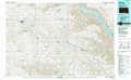 |
Lake Andes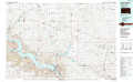 |
Freeman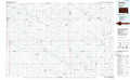 |
> Back to 43098a1 at 1:250,000 scale
> Back to U.S. Topo Maps home
1:24,000 Topo Quads covered by the spatial extent of this 100k map (Mitchell)
|
Isham Lake 
|
Hoagland Lake 
|
Fraser Dam 
|
Twin Lakes 
|
Letcher 
|
Letcher Ne 
|
||
|
Wilson Dam 
|
Wilmarth Lake 
|
Storla Sw 
|
Storla 
|
Letcher Sw 
|
Loomis 
|
||
|
Kimball South 
|
Platte Lake 
|
White Lake 
|
Crystal Lake 
|
Plankinton 
|
Mount Vernon 
|
Betts 
|
Mitchell 
|
|
Snow Lake 
|
Cedar Grove Colony 
|
Laffey Lake 
|
Aurora Center 
|
Stickney 
|
Old Stickney Lake 
|
Mitchell Sw 
|
Shoemaker Dam 
|