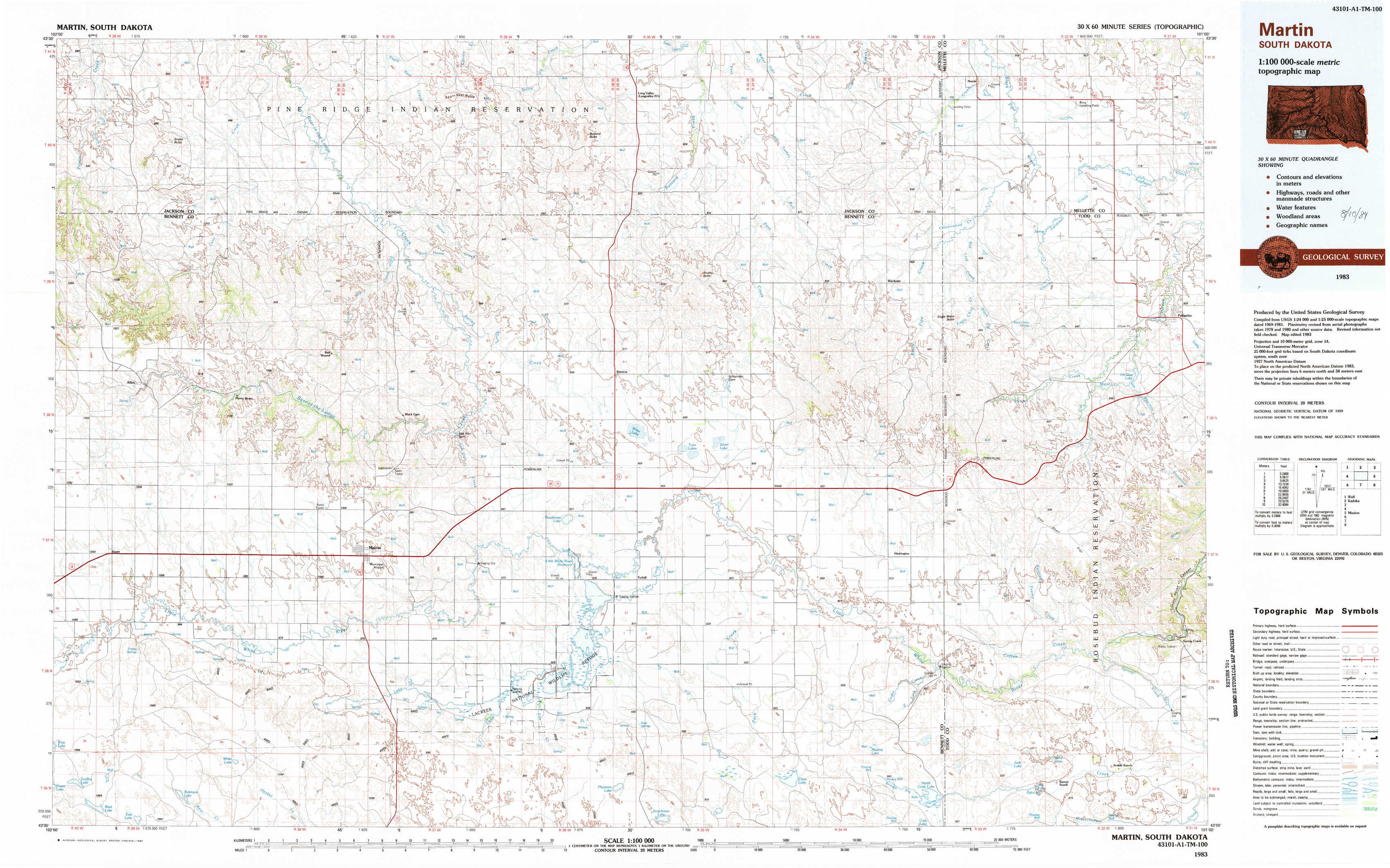
Martin Topo Map South Dakota
To zoom in, hover over the map of Martin
USGS Topo Map 43101a1 - 1:100,000 scale
| Topo Map Name: | Martin |
| USGS Topo Quad ID: | 43101a1 |
| Print Size: | ca. 39" wide x 24" high |
| Southeast Coordinates: | 43° N latitude / 101° W longitude |
| Map Center Coordinates: | 43.25° N latitude / 101.5° W longitude |
| U.S. State: | SD |
| Filename: | 43101a1.jpg |
| Download Map JPG Image: | Martin topo map 1:100,000 scale |
| Map Type: | Topographic |
| Topo Series: | 30´x60´ |
| Map Scale: | 1:100,000 |
| Source of Map Images: | United States Geological Survey (USGS) |
| Alternate Map Versions: |
Martin SD 1983, updated 1983 Download PDF Buy paper map |
1:100,000 Topos surrounding Martin
Wall |
Kadoka |
White River |
Pine Ridge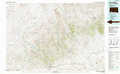 |
Martin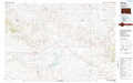 |
Mission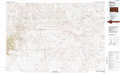 |
Gordon |
Cody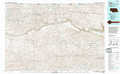 |
Valentine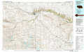 |
> Back to 43100a1 at 1:250,000 scale
> Back to U.S. Topo Maps home
1:24,000 Topo Quads covered by the spatial extent of this 100k map (Martin)
|
Hisle 
|
Buzzard Butte 
|
Long Valley Nw 
|
Norris 
|
Parmelee Ne 
|
|||
|
Allen Se 
|
Patricia 
|
Blackpipe 
|
Eagle Mans Butte 
|
Parmelee 
|
|||
|
Swett Ne 
|
Deadmans Lake 
|
Harrington 
|
Iron Shell Flat West 
|
Iron Shell Flat East 
|
|||
|
Allan Dam 
|
Phantom Lake 
|
East Of Scotchman Lake 
|
Spring Creek Sw 
|
Spring Creek 
|