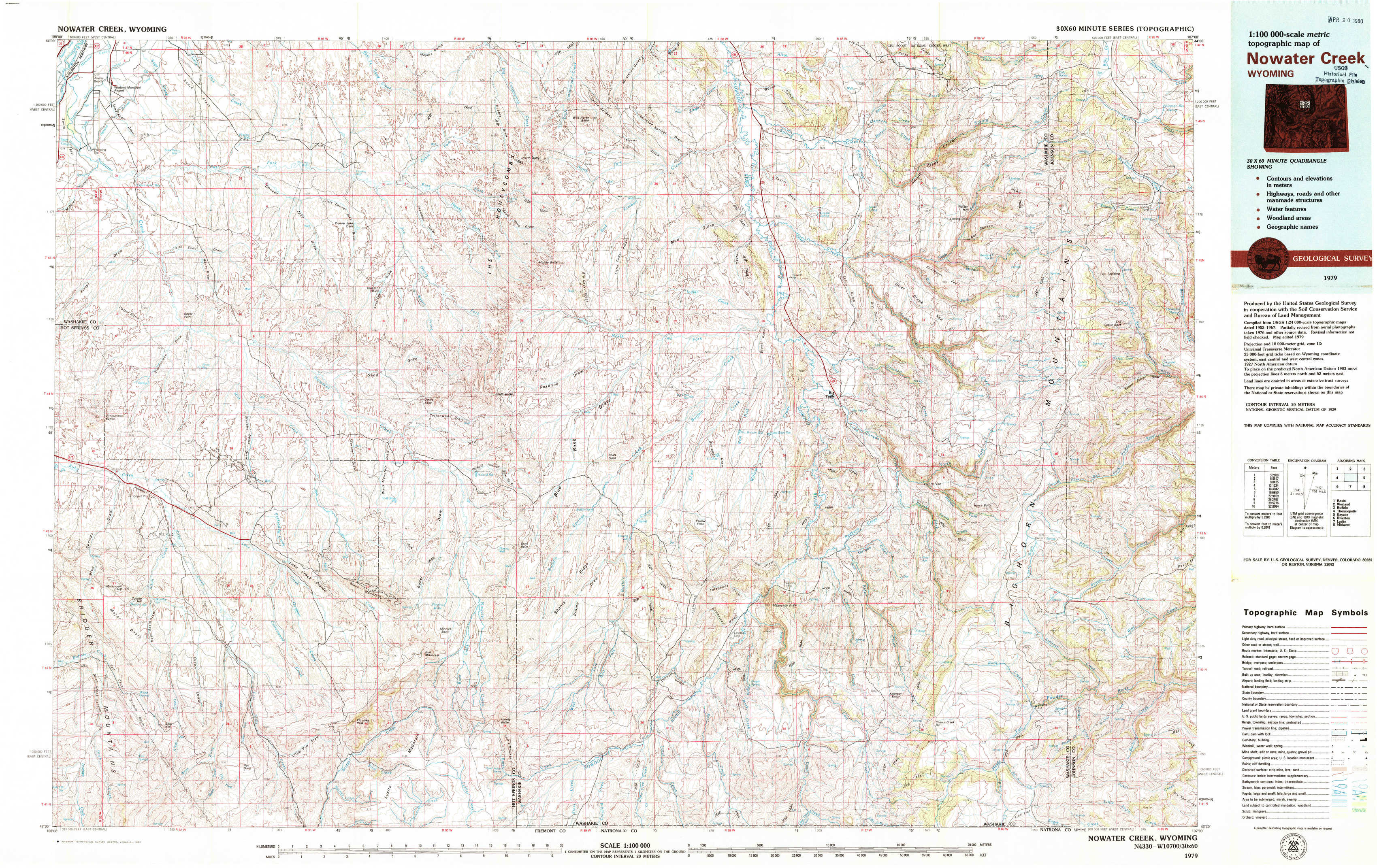
Nowater Creek Topo Map Wyoming
To zoom in, hover over the map of Nowater Creek
USGS Topo Map 43107e1 - 1:100,000 scale
| Topo Map Name: | Nowater Creek |
| USGS Topo Quad ID: | 43107e1 |
| Print Size: | ca. 39" wide x 24" high |
| Southeast Coordinates: | 43.5° N latitude / 107° W longitude |
| Map Center Coordinates: | 43.75° N latitude / 107.5° W longitude |
| U.S. State: | WY |
| Filename: | 43107e1.jpg |
| Download Map JPG Image: | Nowater Creek topo map 1:100,000 scale |
| Map Type: | Topographic |
| Topo Series: | 30´x60´ |
| Map Scale: | 1:100,000 |
| Source of Map Images: | United States Geological Survey (USGS) |
| Alternate Map Versions: |
Nowater Creek WY 1979, updated 1980 Download PDF Buy paper map |
1:100,000 Topos surrounding Nowater Creek
Basin |
Worland |
Buffalo |
Thermopolis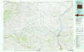 |
Nowater Creek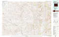 |
Kaycee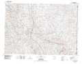 |
Riverton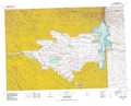 |
Lysite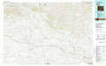 |
Midwest |
> Back to 43106a1 at 1:250,000 scale
> Back to U.S. Topo Maps home
1:24,000 Topo Quads covered by the spatial extent of this 100k map (Nowater Creek)
|
Banjo Flats West 
|
Banjo Flats East 
|
Cabin Fork 
|
Castle Gardens 
|
Joe Emge Creek 
|
Big Trails Ne 
|
Monument Hill 
|
Beartrap Meadows 
|
|
Zimmerman Buttes 
|
Henry Draw 
|
Wagon Prong 
|
Deadline Draw 
|
Indian Creek 
|
Big Trails 
|
Tallon Spring 
|
Tabletop 
|
|
Coyote Hill 
|
Packsaddle Creek 
|
Bader Draw 
|
Sand Point 
|
Lightning Ridge 
|
Mahogany Butte 
|
Horse Butte 
|
Turk Springs 
|
|
Blue Hill 
|
Rathbun Ranch 
|
Bull Mountain 
|
Battle Mountain 
|
Cornell Gulch 
|
Lost Creek 
|
Cherry Creek Hill 
|
Gordon Creek 
|