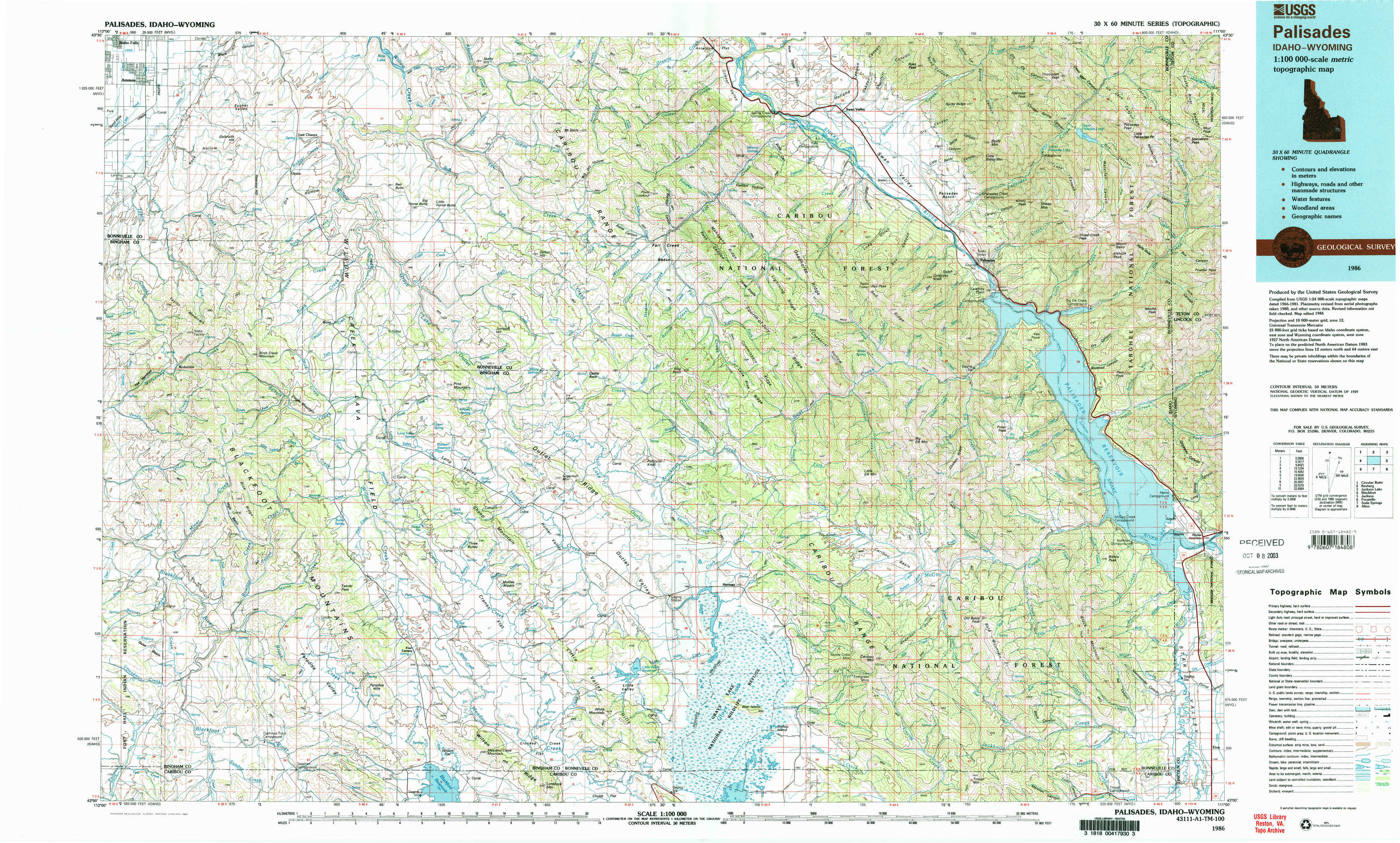
Palisades Topo Map Idaho
To zoom in, hover over the map of Palisades
USGS Topo Map 43111a1 - 1:100,000 scale
| Topo Map Name: | Palisades |
| USGS Topo Quad ID: | 43111a1 |
| Print Size: | ca. 39" wide x 24" high |
| Southeast Coordinates: | 43° N latitude / 111° W longitude |
| Map Center Coordinates: | 43.25° N latitude / 111.5° W longitude |
| U.S. States: | ID, WY |
| Filename: | 43111a1.jpg |
| Download Map JPG Image: | Palisades topo map 1:100,000 scale |
| Map Type: | Topographic |
| Topo Series: | 30´x60´ |
| Map Scale: | 1:100,000 |
| Source of Map Images: | United States Geological Survey (USGS) |
| Alternate Map Versions: |
Palisades ID 1986, updated 1987 Download PDF Buy paper map Palisades ID 1986, updated 1987 Download PDF Buy paper map |
1:100,000 Topos surrounding Palisades
Circular Butte |
Rexburg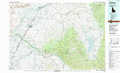 |
Jackson Lake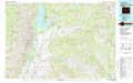 |
Blackfoot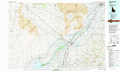 |
Palisades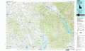 |
Jackson |
Pocatello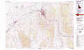 |
Soda Springs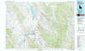 |
Afton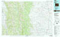 |
> Back to 43110a1 at 1:250,000 scale
> Back to U.S. Topo Maps home
1:24,000 Topo Quads covered by the spatial extent of this 100k map (Palisades)
|
Ammon 
|
Ozone 
|
Lone Pine Ridge 
|
Point Lookout 
|
Conant Valley 
|
Swan Valley 
|
Thompson Peak 
|
Palisades Peak 
|
|
Wolverine 
|
Bone 
|
Jumpoff Hill 
|
Castle Rock 
|
Commissary Ridge 
|
Red Ridge 
|
Palisades Dam 
|
Mount Baird 
|
|
Miner Creek 
|
Poison Creek 
|
Long Valley 
|
Homer Valley 
|
Herman 
|
Big Elk Mountain 
|
Poker Peak 
|
Alpine 
|
|
Dunn Basin 
|
Paradise Valley 
|
Meadow Creek Mountain 
|
Little Valley Hills 
|
Bear Island 
|
Caribou Mountain 
|
Tincup Mountain 
|
Etna 
|