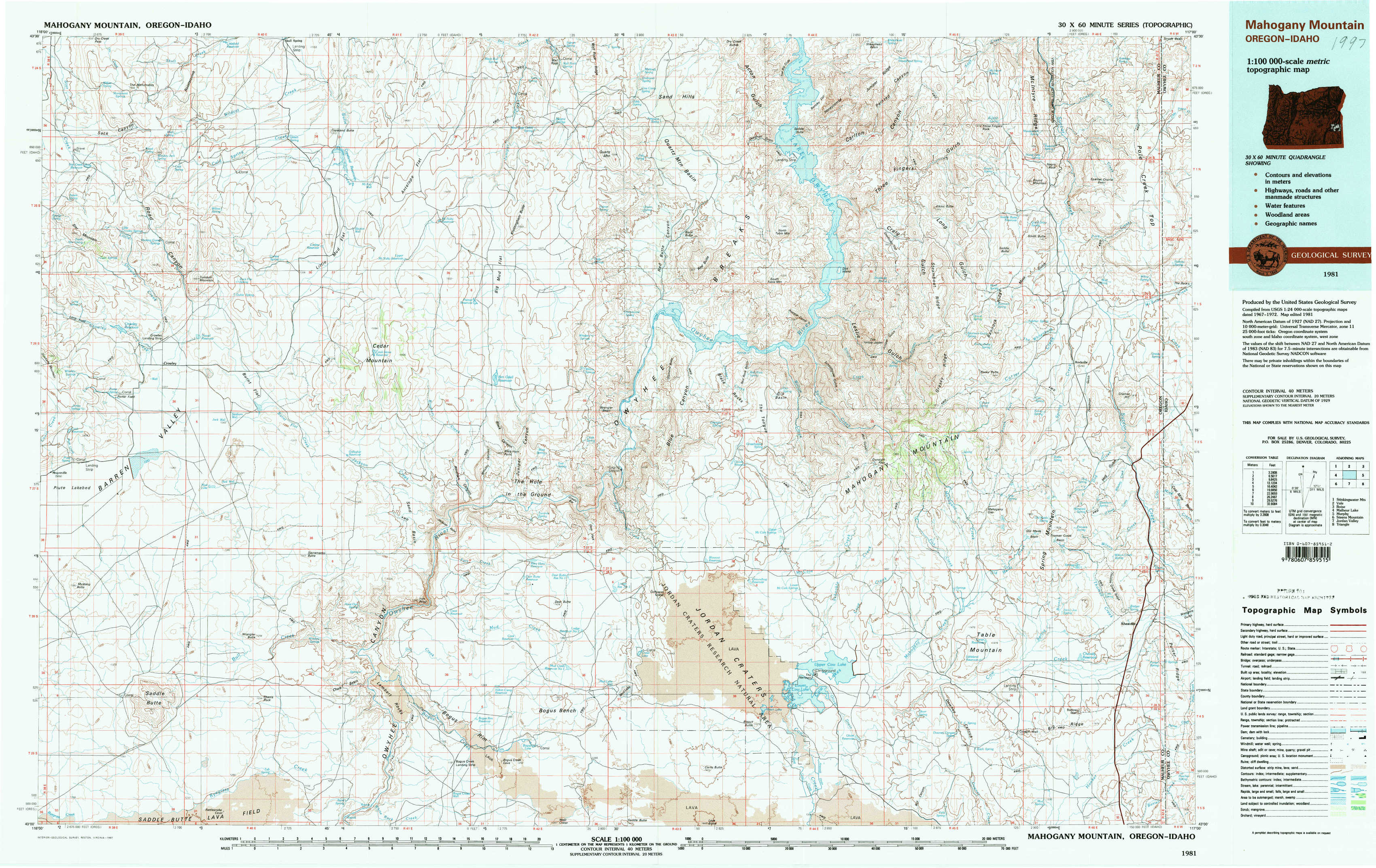
Mahogany Mountain Topo Map Oregon
To zoom in, hover over the map of Mahogany Mountain
USGS Topo Map 43117a1 - 1:100,000 scale
| Topo Map Name: | Mahogany Mountain |
| USGS Topo Quad ID: | 43117a1 |
| Print Size: | ca. 39" wide x 24" high |
| Southeast Coordinates: | 43° N latitude / 117° W longitude |
| Map Center Coordinates: | 43.25° N latitude / 117.5° W longitude |
| U.S. States: | OR, ID |
| Filename: | 43117a1.jpg |
| Download Map JPG Image: | Mahogany Mountain topo map 1:100,000 scale |
| Map Type: | Topographic |
| Topo Series: | 30´x60´ |
| Map Scale: | 1:100,000 |
| Source of Map Images: | United States Geological Survey (USGS) |
| Alternate Map Versions: |
Mahogany Mountain OR 1981, updated 1997 Download PDF Buy paper map |
1:100,000 Topos surrounding Mahogany Mountain
Stinkingwater Mountains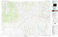 |
Vale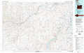 |
Boise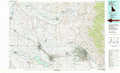 |
Malheur Lake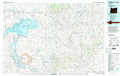 |
Mahogany Mountain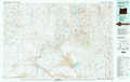 |
Murphy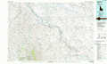 |
Steens Mountain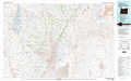 |
Jordan Valley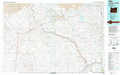 |
Triangle |
> Back to 43116a1 at 1:250,000 scale
> Back to U.S. Topo Maps home
1:24,000 Topo Quads covered by the spatial extent of this 100k map (Mahogany Mountain)
|
Star Creek Reservoir 
|
Skull Spring 
|
Copeland Reservoirs 
|
Wall Rock Springs 
|
Quartz Mountain Basin 
|
Pelican Point 
|
Three Fingers Rock 
|
Pole Creek Top 
|
|
Crowley 
|
Burnt Flat 
|
Cedar Mountain 
|
Big Mud Flat 
|
Diamond Butte 
|
Rooster Comb 
|
Bannock Ridge 
|
Rockville 
|
|
Mustang Butte 
|
Sacramento Butte 
|
Rinehart Canyon 
|
The Hole In The Ground 
|
Jordan Craters North 
|
Mccain Creek 
|
Mahogany Gap 
|
Sheaville 
|
|
Saddle Butte 
|
Wrangle Butte 
|
Lambert Rocks 
|
Bogus Bench 
|
Jordan Craters South 
|
Cow Lakes 
|
Downey Canyon 
|
Hooker Creek 
|