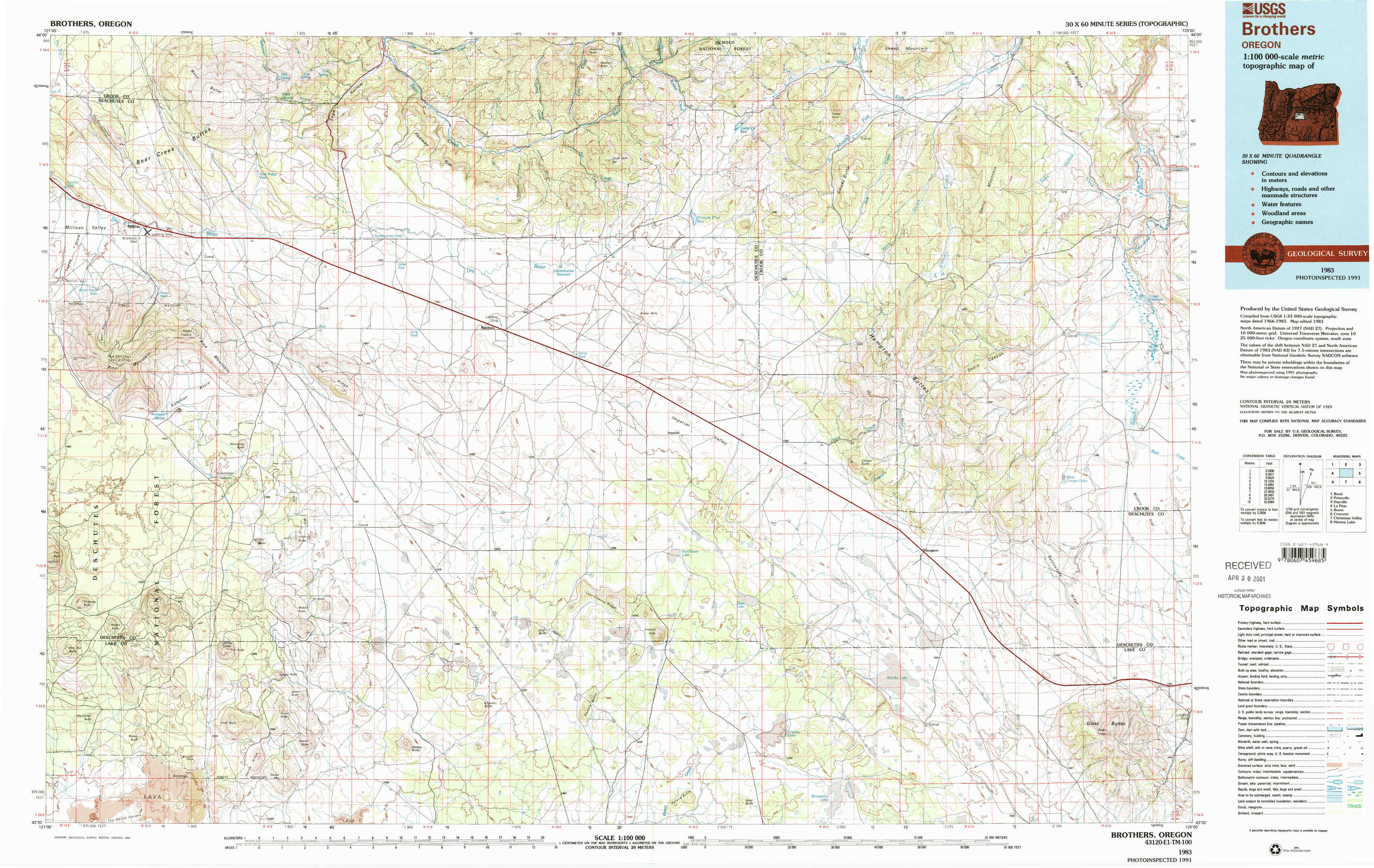
Brothers Topo Map Oregon
To zoom in, hover over the map of Brothers
USGS Topo Map 43120e1 - 1:100,000 scale
| Topo Map Name: | Brothers |
| USGS Topo Quad ID: | 43120e1 |
| Print Size: | ca. 39" wide x 24" high |
| Southeast Coordinates: | 43.5° N latitude / 120° W longitude |
| Map Center Coordinates: | 43.75° N latitude / 120.5° W longitude |
| U.S. State: | OR |
| Filename: | 43120e1.jpg |
| Download Map JPG Image: | Brothers topo map 1:100,000 scale |
| Map Type: | Topographic |
| Topo Series: | 30´x60´ |
| Map Scale: | 1:100,000 |
| Source of Map Images: | United States Geological Survey (USGS) |
| Alternate Map Versions: |
Brothers OR 1983, updated 1994 Download PDF Buy paper map Brothers OR 1983, updated 1994 Download PDF Buy paper map |
1:100,000 Topos surrounding Brothers
Bend |
Prineville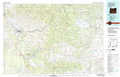 |
Dayville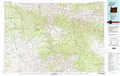 |
La Pine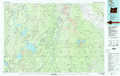 |
Brothers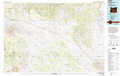 |
Burns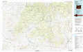 |
Crescent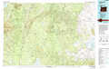 |
Christmas Valley |
Harney Lake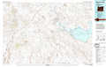 |
> Back to 43120a1 at 1:250,000 scale
> Back to U.S. Topo Maps home
1:24,000 Topo Quads covered by the spatial extent of this 100k map (Brothers)
|
Millican 
|
West Butte 
|
Rodman Ridge 
|
Sugarloaf Butte 
|
Pringle Flat 
|
Logan Butte 
|
Gerry Mountain 
|
Sand Hollow 
|
|
Pine Mountain 
|
Millican Se 
|
Brothers Sw 
|
Brothers 
|
Imperial Valley North 
|
Hampton Butte 
|
Long Barn 
|
G. I. Ranch 
|
|
Firestone Butte 
|
Plot Butte 
|
Dickerson Flat 
|
Soldiers Gap 
|
Imperial Valley South 
|
West Of Hampston 
|
Hampton 
|
Misery Flat 
|
|
Sixteen Butte 
|
Fox Butte 
|
Walker Butte 
|
Last Chance Lake 
|
Frederick Butte 
|
Benjamin Lake 
|
Potato Lake 
|
Glass Butte 
|