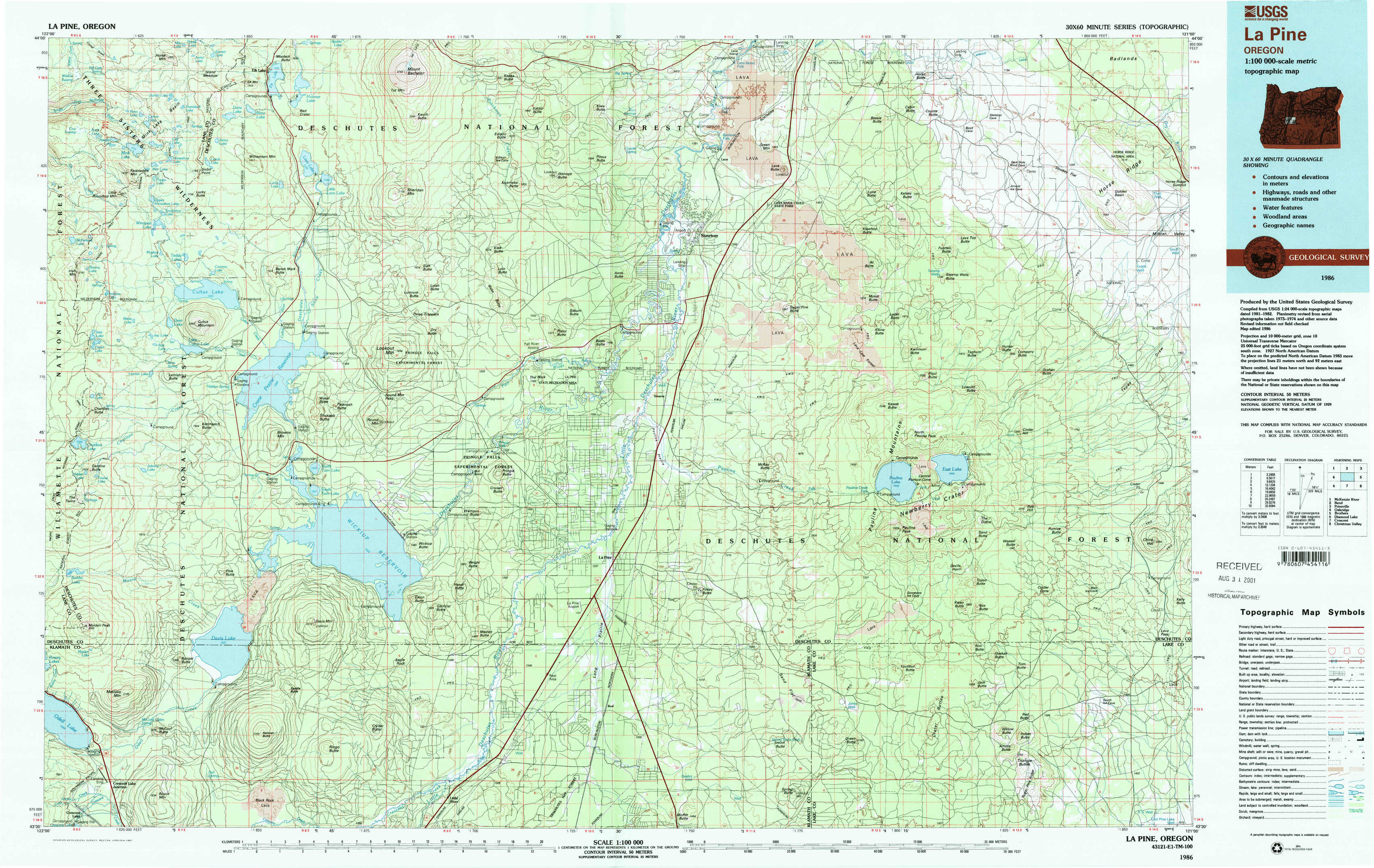
La Pine Topo Map Oregon
To zoom in, hover over the map of La Pine
USGS Topo Map 43121e1 - 1:100,000 scale
| Topo Map Name: | La Pine |
| USGS Topo Quad ID: | 43121e1 |
| Print Size: | ca. 39" wide x 24" high |
| Southeast Coordinates: | 43.5° N latitude / 121° W longitude |
| Map Center Coordinates: | 43.75° N latitude / 121.5° W longitude |
| U.S. State: | OR |
| Filename: | 43121e1.jpg |
| Download Map JPG Image: | La Pine topo map 1:100,000 scale |
| Map Type: | Topographic |
| Topo Series: | 30´x60´ |
| Map Scale: | 1:100,000 |
| Source of Map Images: | United States Geological Survey (USGS) |
| Alternate Map Versions: |
La Pine OR 1986, updated 1987 Download PDF Buy paper map La Pine OR 1986, updated 1987 Download PDF Buy paper map |
1:100,000 Topos surrounding La Pine
Mc Kenzie River |
Bend |
Prineville |
Oakridge |
La Pine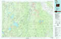 |
Brothers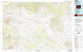 |
Diamond Lake |
Crescent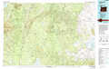 |
Christmas Valley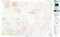 |
> Back to 43120a1 at 1:250,000 scale
> Back to U.S. Topo Maps home
1:24,000 Topo Quads covered by the spatial extent of this 100k map (La Pine)
|
Packsaddle Mountain 
|
Elk Lake 
|
Bachelor Butte 
|
Wanoga Butte 
|
Benham Falls 
|
Lava Butte 
|
Kelsey Butte 
|
Horse Ridge 
|
|
Irish Mountain 
|
Crane Prairie Reservoir 
|
Round Mountain 
|
Pistol Butte 
|
Anns Butte 
|
Lava Cast Forest 
|
Fuzztail Butte 
|
Evans Well 
|
|
The Twins 
|
Davis Mountain 
|
Wickiup Dam 
|
La Pine 
|
Finley Butte 
|
Paulina Peak 
|
East Lake 
|
China Hat 
|
|
Odell Lake 
|
Hamner Butte 
|
Cryder Butte 
|
Masten Butte 
|
Moffitt Butte 
|
Spring Butte 
|
Indian Butte 
|
South Ice Cave 
|