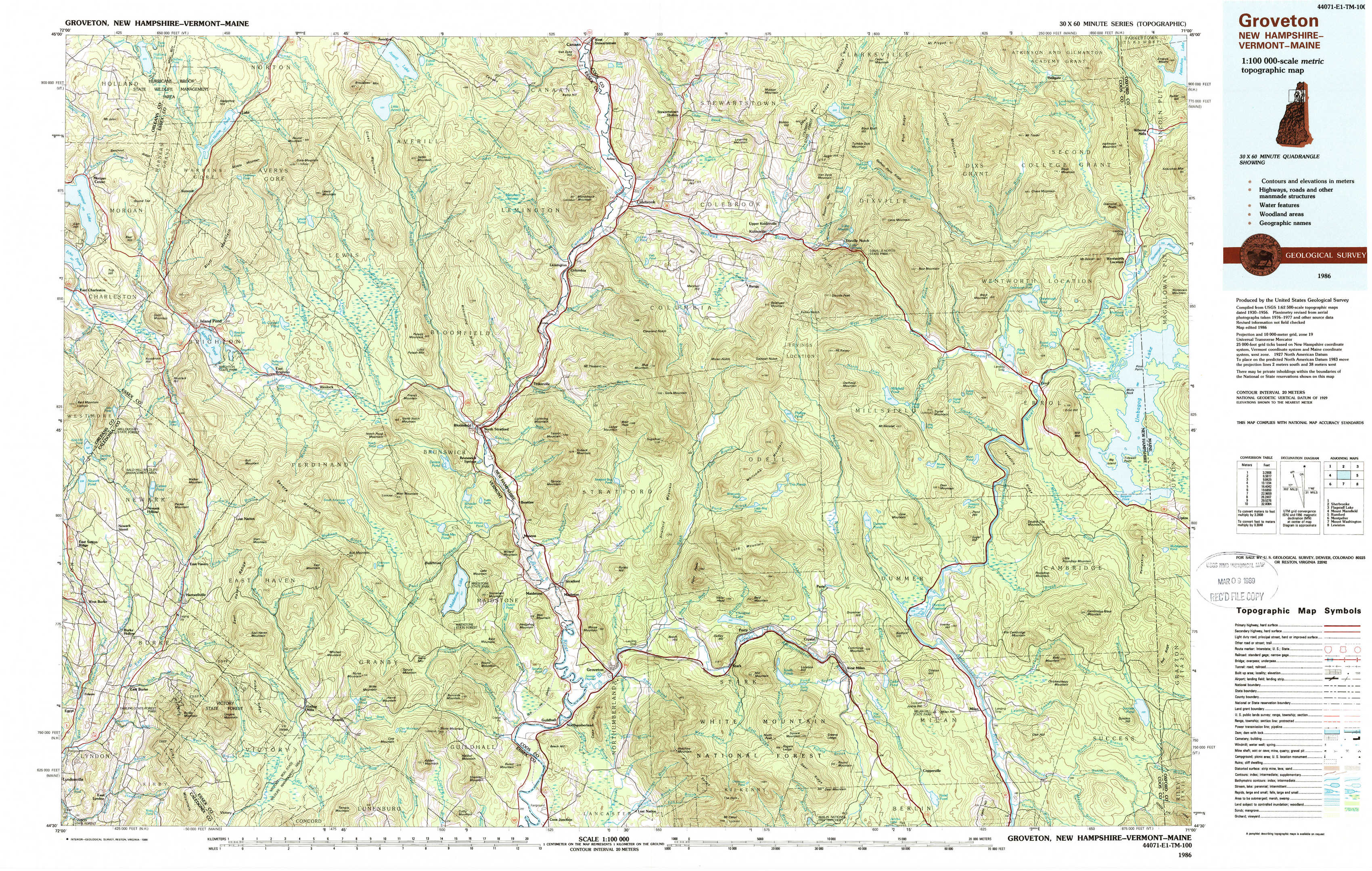
Groveton Topo Map New Hampshire
To zoom in, hover over the map of Groveton
USGS Topo Map 44071e1 - 1:100,000 scale
| Topo Map Name: | Groveton |
| USGS Topo Quad ID: | 44071e1 |
| Print Size: | ca. 39" wide x 24" high |
| Southeast Coordinates: | 44.5° N latitude / 71° W longitude |
| Map Center Coordinates: | 44.75° N latitude / 71.5° W longitude |
| U.S. States: | NH, VT, ME |
| Filename: | 44071e1.jpg |
| Download Map JPG Image: | Groveton topo map 1:100,000 scale |
| Map Type: | Topographic |
| Topo Series: | 30´x60´ |
| Map Scale: | 1:100,000 |
| Source of Map Images: | United States Geological Survey (USGS) |
| Alternate Map Versions: |
Groveton NH 1986, updated 1986 Download PDF Buy paper map Groveton NH 1986, updated 1988 Download PDF Buy paper map |
1:100,000 Topos surrounding Groveton
North Of Mount Mansfield |
Sherbrooke |
Flagstaff Lake |
Mount Mansfield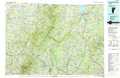 |
Groveton |
Rumford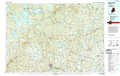 |
Montpelier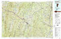 |
Mount Washington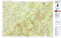 |
Lewiston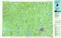 |
> Back to 44070a1 at 1:250,000 scale
> Back to U.S. Topo Maps home
1:24,000 Topo Quads covered by the spatial extent of this 100k map (Groveton)
|
Morgan Center 
|
Norton Pond 
|
Averill Lake 
|
Monadnock Mountain 
|
Lovering Mountain 
|
Diamond Pond 
|
Mount Pisgah 
|
Wilsons Mills 
|
|
Island Pond 
|
Spectacle Pond 
|
Bloomfield 
|
Tinkerville 
|
Blue Mountain 
|
Dixville Notch 
|
Errol 
|
Umbagog Lake North 
|
|
West Burke 
|
Seneca Mountain 
|
Maidstone Lake 
|
Stratford 
|
Percy Peaks 
|
Dummer Ponds 
|
Teakettle Ridge 
|
Umbagog Lake South 
|
|
Burke Mountain 
|
Gallup Mills 
|
Stone Mountain 
|
Groveton 
|
Stark 
|
West Milan 
|
Milan 
|
Success Pond 
|