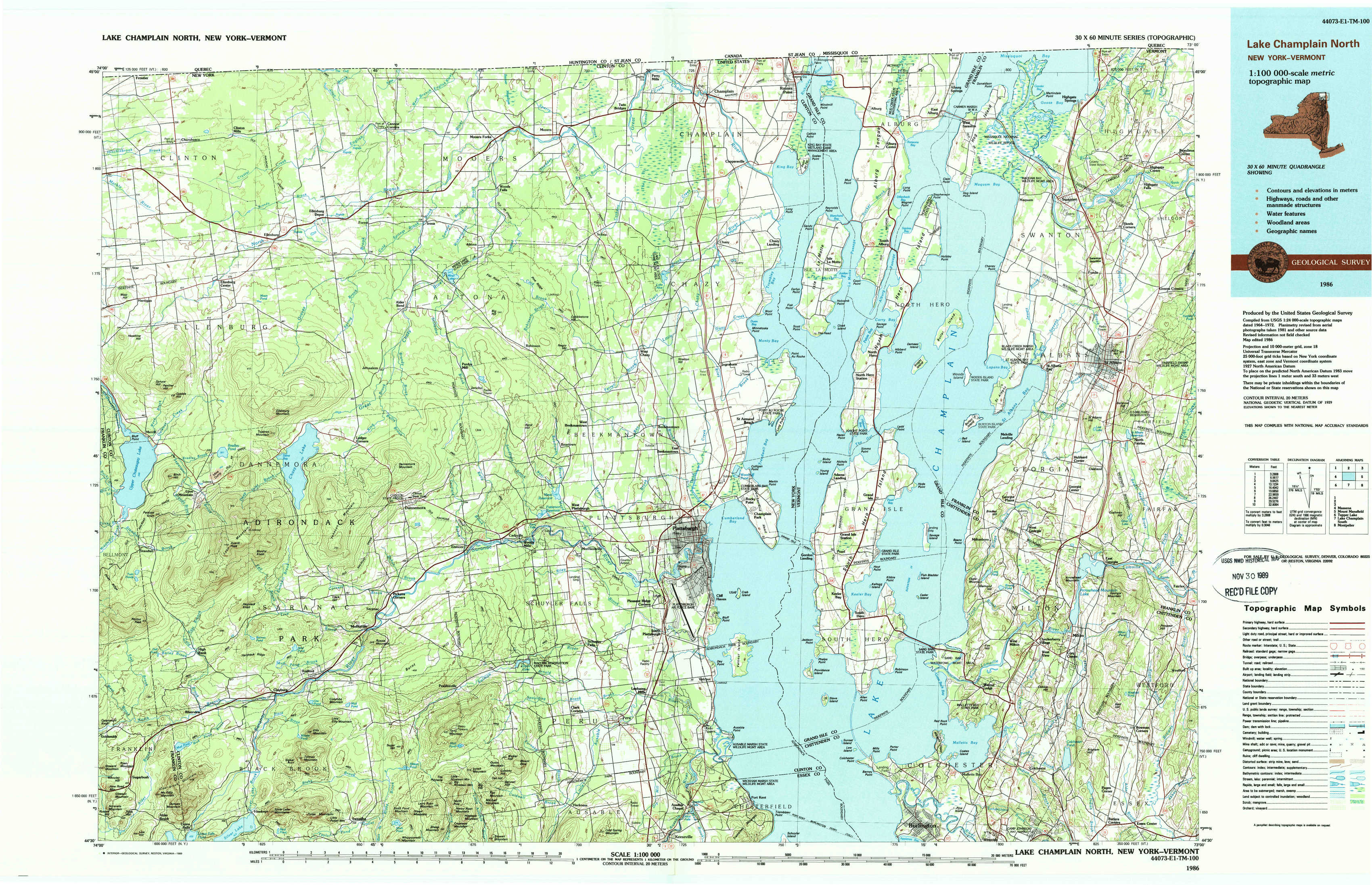
Lake Champlain North Topo Map New York
To zoom in, hover over the map of Lake Champlain North
USGS Topo Map 44073e1 - 1:100,000 scale
| Topo Map Name: | Lake Champlain North |
| USGS Topo Quad ID: | 44073e1 |
| Print Size: | ca. 39" wide x 24" high |
| Southeast Coordinates: | 44.5° N latitude / 73° W longitude |
| Map Center Coordinates: | 44.75° N latitude / 73.5° W longitude |
| U.S. States: | NY, VT |
| Filename: | 44073e1.jpg |
| Download Map JPG Image: | Lake Champlain North topo map 1:100,000 scale |
| Map Type: | Topographic |
| Topo Series: | 30´x60´ |
| Map Scale: | 1:100,000 |
| Source of Map Images: | United States Geological Survey (USGS) |
| Alternate Map Versions: |
Lake Champlain North NY 1986, updated 1986 Download PDF Buy paper map Lake Champlain North NY 1986, updated 1989 Download PDF Buy paper map |
1:100,000 Topos surrounding Lake Champlain North
North Of Massena |
North Of Lake Champlain North |
North Of Mount Mansfield |
Massena |
Lake Champlain North |
Mount Mansfield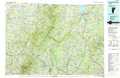 |
Tupper Lake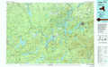 |
Lake Champlain South |
Montpelier |
> Back to 44072a1 at 1:250,000 scale
> Back to U.S. Topo Maps home
1:24,000 Topo Quads covered by the spatial extent of this 100k map (Lake Champlain North)
|
Churubusco 
|
Ellenburg Depot 
|
Altona 
|
Mooers 
|
Champlain 
|
Rouses Point 
|
East Alburg 
|
Highgate Center 
|
|
Ellenburg Center 
|
Ellenburg Mountain 
|
Jericho 
|
West Chazy 
|
Beekmantown 
|
North Hero 
|
Saint Albans Bay 
|
Saint Albans 
|
|
Lyon Mountain 
|
Moffitsville 
|
Dannemora 
|
Morrisonville 
|
Plattsburgh 
|
South Hero 
|
Georgia Plains 
|
Milton 
|
|
Alder Brook 
|
Redford 
|
Peasleeville 
|
Peru 
|
Keeseville 
|
Colchester Point 
|
Colchester 
|
Essex Center 
|