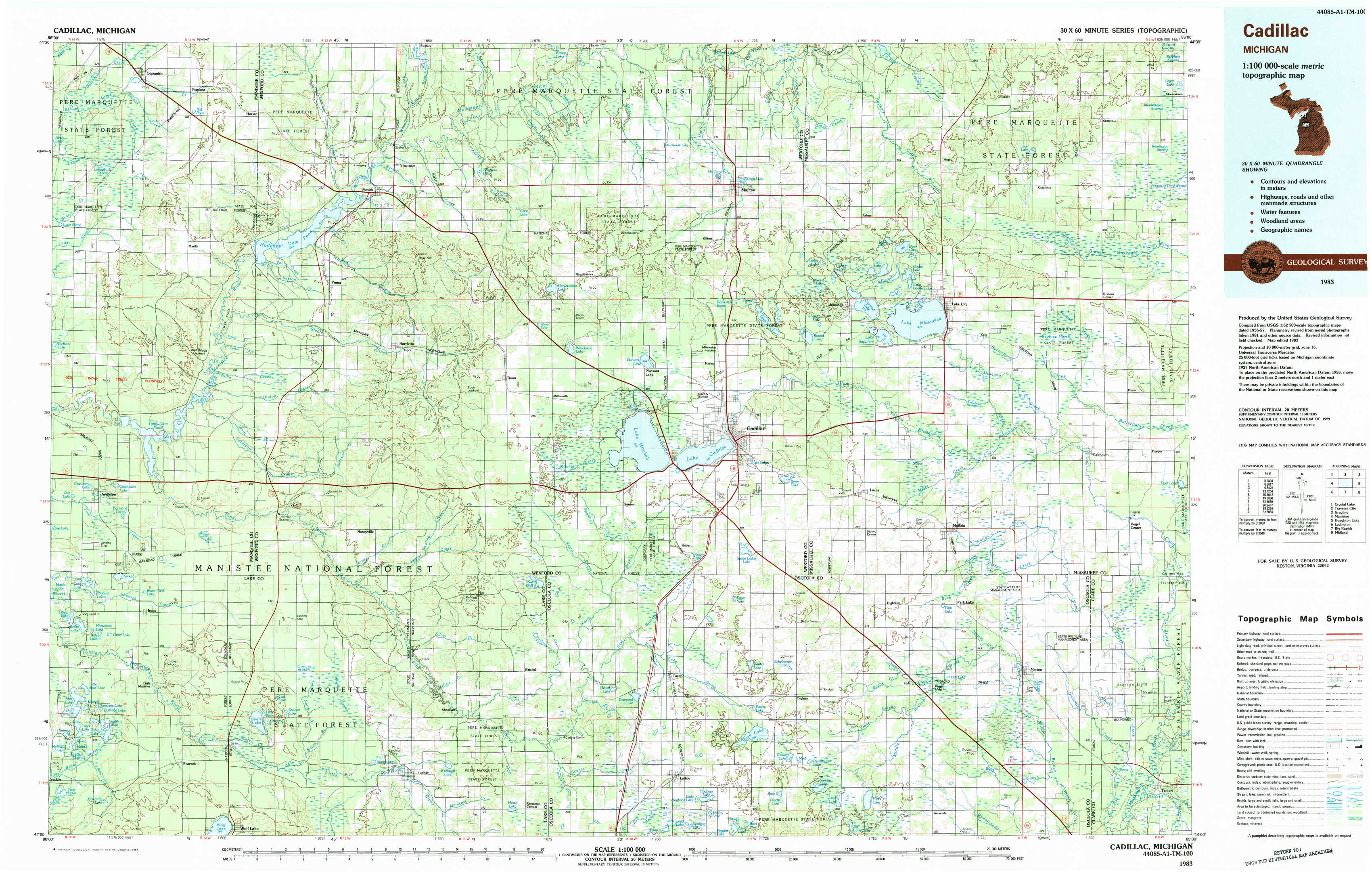
Cadillac Topo Map Michigan
To zoom in, hover over the map of Cadillac
USGS Topo Map 44085a1 - 1:100,000 scale
| Topo Map Name: | Cadillac |
| USGS Topo Quad ID: | 44085a1 |
| Print Size: | ca. 39" wide x 24" high |
| Southeast Coordinates: | 44° N latitude / 85° W longitude |
| Map Center Coordinates: | 44.25° N latitude / 85.5° W longitude |
| U.S. State: | MI |
| Filename: | 44085a1.jpg |
| Download Map JPG Image: | Cadillac topo map 1:100,000 scale |
| Map Type: | Topographic |
| Topo Series: | 30´x60´ |
| Map Scale: | 1:100,000 |
| Source of Map Images: | United States Geological Survey (USGS) |
| Alternate Map Versions: |
Cadillac MI 1983, updated 1984 Download PDF Buy paper map |
1:100,000 Topos surrounding Cadillac
Crystal Lake |
Traverse City |
Grayling |
Manistee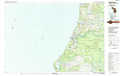 |
Cadillac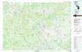 |
Houghton Lake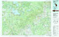 |
Ludington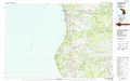 |
Big Rapids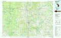 |
Midland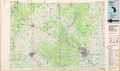 |
> Back to 44084a1 at 1:250,000 scale
> Back to U.S. Topo Maps home
1:24,000 Topo Quads covered by the spatial extent of this 100k map (Cadillac)
|
Copemish 
|
Harlan 
|
Mesick 
|
Mesick Ne 
|
Manton 
|
Arlene 
|
Morey 
|
Stittsville 
|
|
Marilla 
|
Yuma 
|
Harrieta 
|
Boon 
|
Cadillac North 
|
Jennings 
|
Lake City 
|
Dinca 
|
|
Peacock Nw 
|
Peacock Ne 
|
Luther Nw 
|
Luther Ne 
|
Cadillac South 
|
Lucas 
|
Mcbain 
|
Falmouth 
|
|
Peacock Sw 
|
Peacock Se 
|
Luther Sw 
|
Luther Se 
|
Le Roy 
|
Dighton 
|
Marion 
|
Temple 
|